Mobile Movement
Winter/Spring 2026
By Heather Hansman
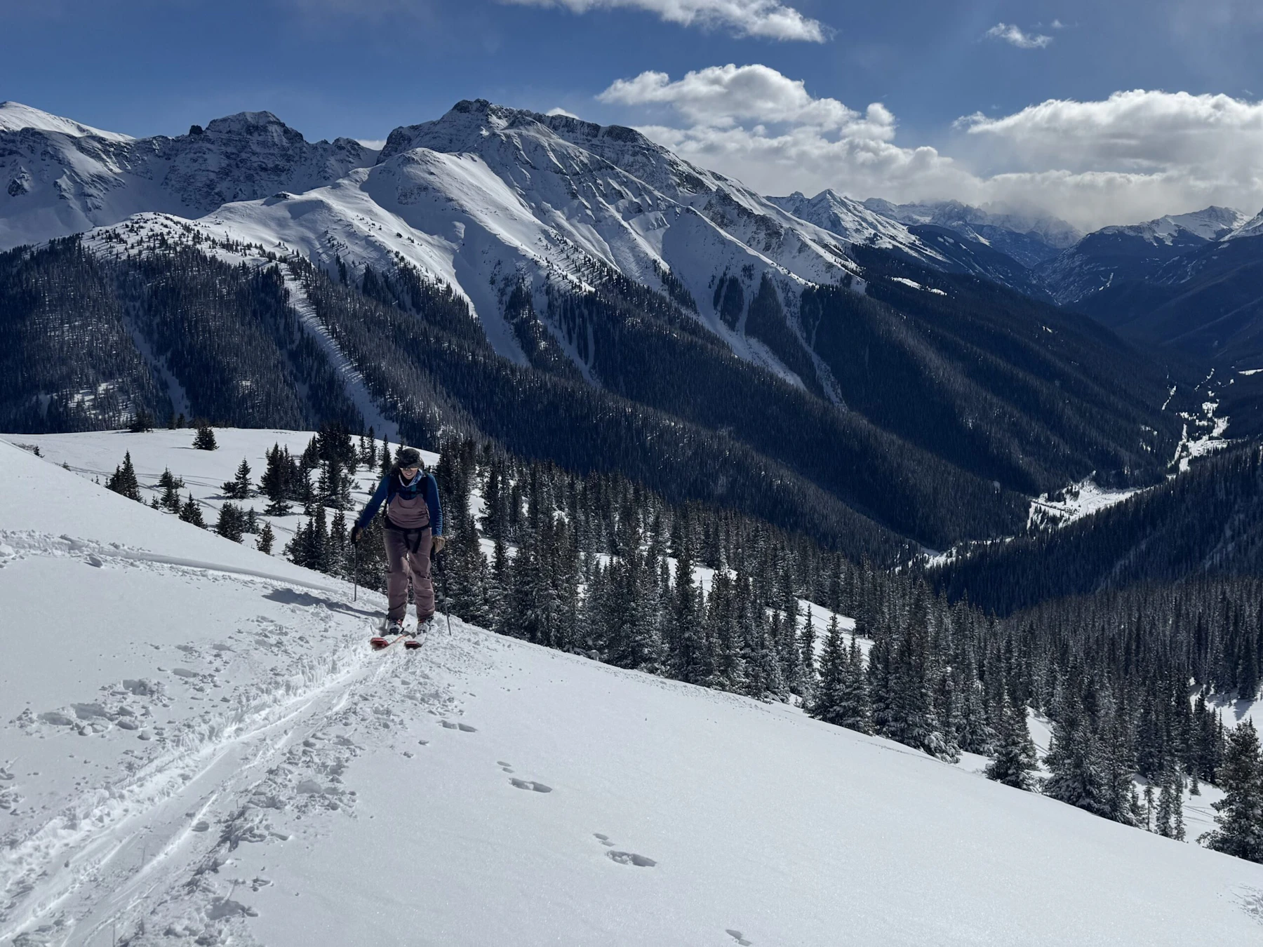
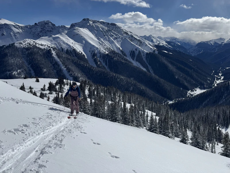
Trico Peak is off the west side of Red Mountain Pass, the snake of a road that splits the high peaks of the San Juan National Forest. In the winter, it’s a wide wedge of snow, with ski lines spilling off its shoulder—a treasure trove of adventure for any backcountry skier.
For a long time, Trico scared me. In winter, snow erases any semblance of a trail. Sometimes, someone will have come through ahead of you and broken a trail, but it can be unwise to assume they’re headed where you are, or that they’re smarter than you.
Part of navigating the winter backcountry is finding your own route, carving a line into a blank canvas. It can feel limitless if you work within the bounds of slope angle and gravity. But it can also feel overwhelming.
I have been a backcountry skier for the better part of two decades. I love the methodical grind of getting uphill on my skis and the weightless float of coming down. I love learning the way a snowpack stacks up over a season and knowing the silence of winter forests. But for a long time, there was one piece that kept eluding and intimidating me: navigation.
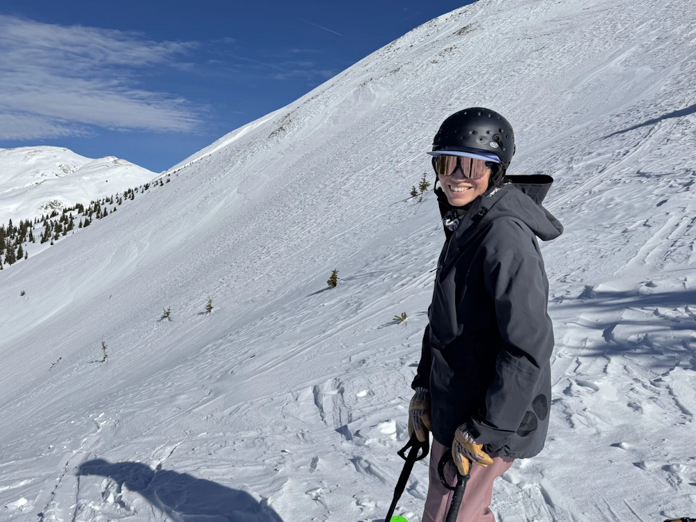
Reading maps, especially when I was off trail, felt intimidating. I found it hard to track where I was, unsure of the markers. It made my brain feel scrambly. It came with too much pressure. I feared steering myself and others wrong and putting us in jeopardy. So I ceded control to friends, even though it felt like I was missing out on better understanding a landscape and my place in it.
Over time, I noticed those friends started to move away from paper maps to apps. They’d pull out their phones and point us toward a route or reorient us toward a ridgeline. It felt, at first, like they were using an artificial cheat code instead of really understanding where we were or should go.
Plus, my phone felt like it was too present in every other part of my life. The backcountry was somewhere I could get away from constant connectivity. Those apps felt antithetical to why I like being outside: in my body, paying attention.
But as my navigation skills fell even further behind, I started to wonder about my calculus. What was I losing by avoiding the responsibility? What was I missing out on by restricting what tools I could use? Was this really where I needed to be puritanical?
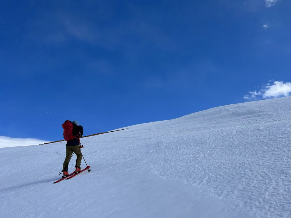
It came to a head on a stormy early season day. A friend’s husband, who was new to backcountry skiing but confident in technology, led us out into the forest on our skis. He was sure, he said, of where we were going. But he read his map wrong, in part because he wasn’t used to moving through the terrain. He took us down a creek bed instead of up toward a peak. In the soupy storm, I knew in my body that we were going the wrong way.
As we trudged back up a drainage, below where we wanted to be, I thought, “I could do better. Why was I giving my power to him?”
“As we trudged back up a drainage, below where we wanted to be, I thought, “I could do better. Why was I giving my power to him?”
Once on the mountain, I began tracking where I was going, tracing routes, and trying to match what I was seeing on the screen to the topography in front of me.
I started to understand how the dips and rolls correlated with the maps. I began to see where it might be smart to head uphill or dangerous to come down. I learned how to add layers, like slope angle, so I could stay out of hazardous terrain and see what was above me. I began to understand how the pieces of terrain fit together, how the valleys and notches rolled into one another.
In the past, I’d have to come back to the same place multiple times to understand where I was and how it f it into the broader geography. Now, I was locating myself within it.
“In the past, I’d have to come back to the same place multiple times to understand where I was and how it fit into the broader geography. Now, I was locating myself within it.”
One frosty morning, up on a wide shoulder of a gentle peak, my intuition surprised me. “It looks like that face in front of us is steep. I think we should head left so we’re not underneath it,” I said to my friends. I consulted the app to confirm the path that had formed in my mind, and found that the fog that had clouded so much of my confidence prior had lifted, revealing long sight lines.
Now, I pop my phone out of my pocket more than I probably should. My fingers get cold, and my battery has died at inconvenient times. There are downsides, but my mapping app has shown me that I know how to move in the backcountry. That, sometimes, I just need a little reassurance.
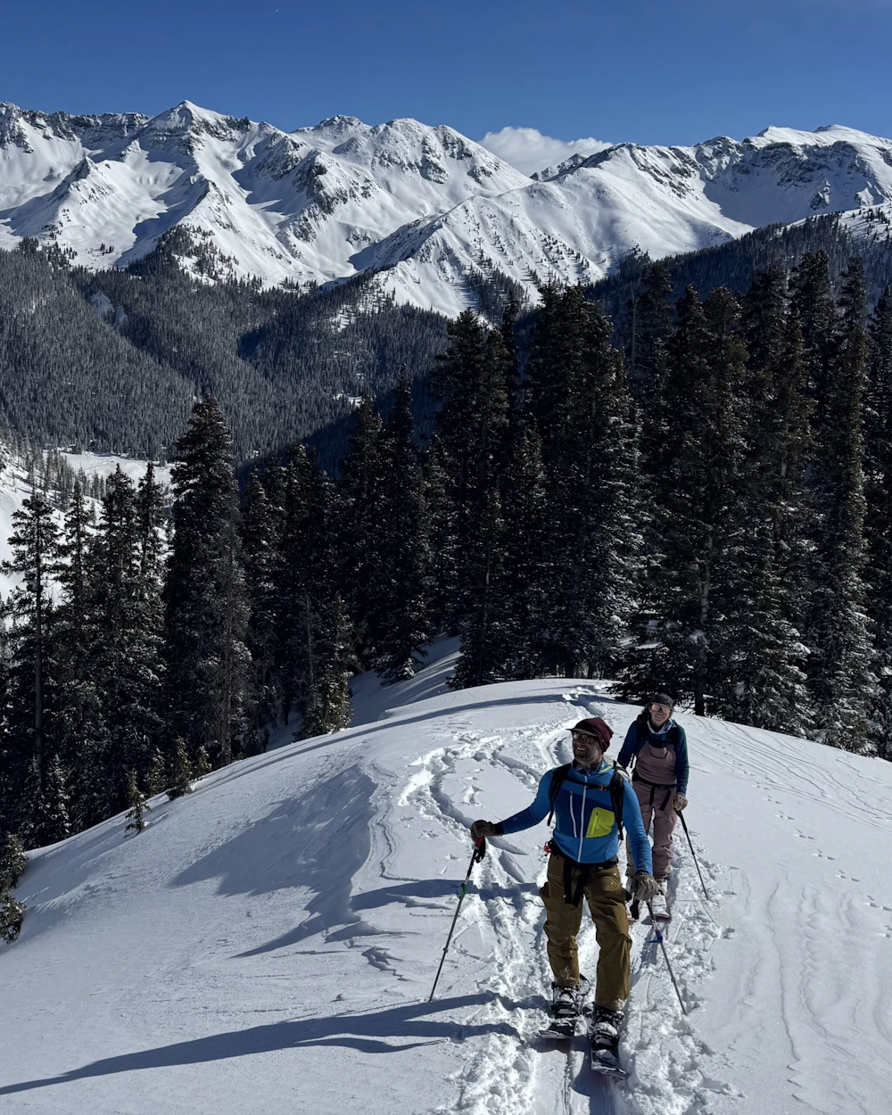
When I could verify where I was, I started to trust myself more, and in turn, pay more attention. When I’m not as worried about where I’m going, my mind can wander to the forest’s quiet details, taking in the wintry breeze, the birds circling the ridge, the way the snow feels under my skis.
Now, when I look at the shoulder of Trico, I don’t see 13,000-plus feet of uncertainty. I see the slopes I can climb, the chutes I can ski down, and the way I can keep myself safe in between. Even more, I see a path to being in my own body.
Sign up for a certified avalanche training course at Avalanche.org, which features instruction on how to navigate by app.
About the Author
Heather Hansman is the author of Downriver and Powder Days. She lives in the mountains of southwest Colorado where she’s at work on a book about women outside.
Want to receive a physical copy of Light & Seed® in your mailbox? Become an annual donor of $25 or more to start receiving your copy twice a year.
Our Forests Need Us Today.
Your donation powers critical, on-the-ground conservation—from wildfire recovery to watershed restoration—protecting forests for the future.

