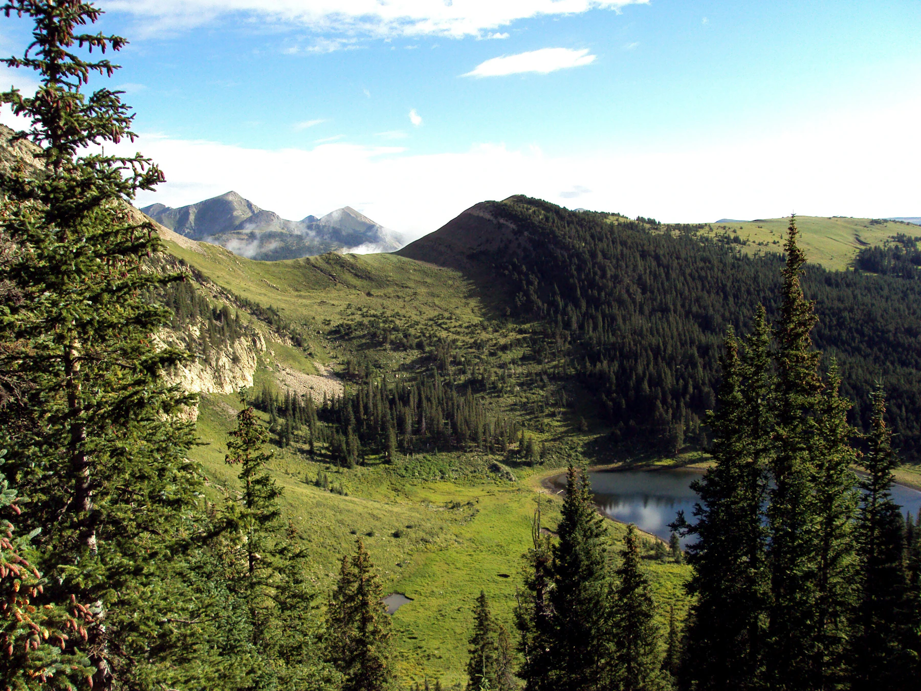
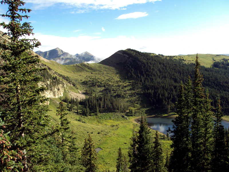
The Santa Fe National Forest offers sage-scented deserts, verdant mountain passes, and river-bottomed canyons for visitors seeking adventure and relaxation. Spread across 1.6 million acres, the National Forest spans east and west of New Mexico’s capital, Santa Fe. Visitors can plan their excursions around the forest’s five districts, each with its own ranger station.
Santa Fe National Forest Scenic Byway
This scenic drive on NM State Highway 475, also known as Hyde Park Road, starts near Santa Fe’s historic downtown plaza and winds up the Sangre de Cristo Mountains to the Santa Fe Ski Basin. The road ascends 3,000 feet in 16 miles, climbing through majestic stands of aspen and pine. Activities abound along the way, with multiple trailheads, campgrounds, overlooks, and picnic areas. Check out Hyde Memorial State Park en route, which has yurts available to rent overnight and a half mile hike to a waterfall.
The scenic byway is a great year-round destination for visitors of all ages and abilities. Late spring and summer are optimal times to stretch your legs on one of the many trails, like Winsor #254 and Chamisa #183, with trailheads right off the road. Spectacular falls colors transform the mountain beginning in mid-September, making this the busiest time of the year to visit.
Winter is also popular with downslope and cross-country skiers. The North Regional Transit District (RTD) in Santa Fe offers free public transportation from various inner-city stops up to the ski basin year-round. Buses operating during non-winter service have front and rear exterior racks that can accommodate bicycles with tire widths up to 2.8 inches.
Jemez National Recreation Area
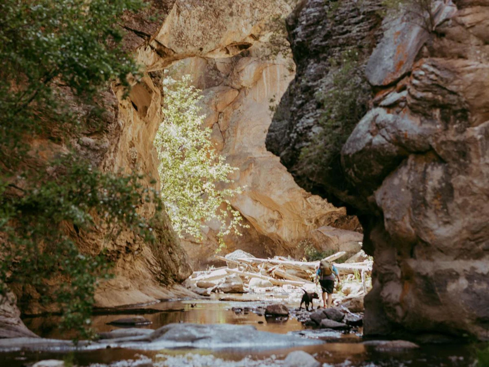
The Jemez National Recreation Area is a wonderland of red rock bluffs, crystalline creeks, and hot springs. Located 90 minutes southwest of Santa Fe along NM State Highway 4, this 57,650 acre region is accessible year-round with some seasonal closures due to snow and habitat protection. Stop at one of more than a dozen day-use areas that offer picnic tables, fishing, and access to trailheads. Six developed campgrounds are available, three on a first-come first-serve basis and three by reservation via recreation.gov. Be aware that some sites require fees.
A day-long excursion might include a stop to the Jemez Historic Site, a village of multistory adobe structures that date back 700 years, home to the ancestors of New Mexico’s present-day pueblo people. In the summer, hikers can enjoy meadows of wildflowers and conifer-studded cliffs starting at Las Conchas trailhead. From there, it’s an easy two mile walk along the East Fork of the Jemez river. Good fishing is available at the Battleship Rock Picnic Site, which showcases a unique rock formation by the same name. Hikers looking for a more challenging trek can access the East Fork Trail #137 from the Battleship Rock Trailhead, which goes by a warm spring.
San Antonio Hot Springs
Prepare for stunning mountain views and a relaxing soak in the natural pools of San Antonio Hot Springs, located within the Jemez National Recreation Area. The pools vary in temperature and are rich with geothermal minerals. Forest Service Road 376, accessible to high clearance and four-wheel drive vehicles between July 1 and February 29, puts you within a 0.7 mile walk to the springs.
When FS 376 is closed (to protect breeding wildlife) visitors will have to walk an additional five miles up the same road to reach the pools. From the town of Jemez Springs, take NM State Highway 4 to NM State Highway 126, then turn right at FS 376. Please be respectful of this much beloved site, by treading lightly and carrying out all your trash.

Chama River Valley
Veer west of the tourist hubs of Santa Fe and Taos and into a landscape of majestic sandstone cliffs made famous by the painter Georgia O’Keeffe. This is rural New Mexico at its best, where small towns dot two-lane highways and travelers and locals alike converge at family-run convenience stores to fuel their vehicles and bellies. Here visitors can pray alongside hooded monks, fall sleep to the sounds of the Chama River, and hike along a portion of the Continental Divide Trail.
A great way to explore this area is along Forest Service Road 151, a well-maintained dirt road that’s suitable for passenger cars, except after a hard rain. To get there, drive north from Abiquiú on NM State Highway 84 for 15 miles then turn left. Drivers should go slow and keep watch for cyclists and hikers. The road follows the Chama River along an 8-mile stretch that’s popular for day-floats (no permit required). The road ends soon after the Monastery of Christ in the Desert, home to a community of Benedictine monks, where the public is welcome to walk the grounds, attend liturgical services, and purchase handmade items at the gift shop.
Some spots to check out along FS 151 include the Ojitos Trail (walk across Skull Bridge to reach the trailhead), the Rio Chama Campground (first-come, first-serve), and Big Eddy Boat Takeout (for picnics and river access).


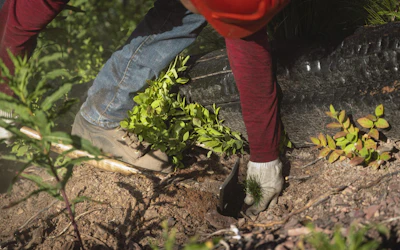
Our Forests Need Us Today.
Your donation powers critical, on-the-ground conservation—from wildfire recovery to watershed restoration—protecting forests for the future.

