

Cross-boundary collaboration to build a fire-resilient community
Home to more than 800 residences and 2,000 residents— the Forest Lakes Metro District (FLMD) sits at the base of Grassy Mountain, surrounded by a mosaic of public lands at high risk of wildfire. Through regional prioritization efforts led by the 4 Rivers Resilient Forest Collaborative and the Southwest Colorado Collaborative Forest Restoration Program, this area was identified as one of the highest priorities for reducing wildfire risk, protecting communities, and restoring forest and watershed health.
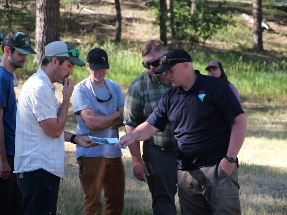
The National Forest Foundation is partnering with the U.S. Forest Service, Bureau of Land Management, Colorado State Forest Service, Colorado State Land Board, and the Forest Lakes Metro District to reduce wildfire risk above the community and protect the Los Piños River Watershed. This three-year project will establish a strategic fuel break across 638 acres of public lands on Grassy Mountain, north of Bayfield, Colorado. Designed to slow wildfire spread and reduce intensity, the fuel break will help safeguard nearby homes, protect water resources, and maintain recreational access across the landscape.
A First-of-Its-Kind Shared Stewardship Effort
The Grassy Mountain Shared Stewardship Project represents a new model for wildfire mitigation in Southwest Colorado. Vegetation treatments are being coordinated across landownership boundaries—an essential approach for creating an effective fuel break in this fire-adapted ecosystem.
The NFF is coordinating implementation alongside the Colorado State Forest Service, ensuring continuity of treatments across jurisdictions. To support the surrounding community, the NFF also awarded a grant to the Forest Lakes Metro District to help maintain roads and offset impacts from logging traffic and heavy equipment.
Much of the project area is dominated by ponderosa pine forest—a fire-adapted ecosystem that has become overly dense due to decades of fire suppression. Tight tree spacing, low-hanging branches, and pockets of dead and diseased trees increase the risk of high-severity wildfire.
Project treatments include mechanical thinning to reduce tree and vegetation density, lower the likelihood of crown fires, and improve overall forest health. By restoring more resilient forest conditions, this work will help protect homes, watersheds, wildlife habitat, and public lands well into the future.
What to Expect During Implementation
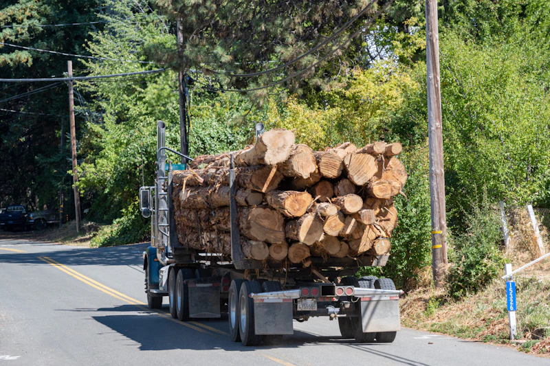
Beginning in April 2025, Forest Lakes residents can expect to see heavy equipment and logging trucks operating above the subdivision and traveling along pre-identified routes. Work includes mechanical thinning, skidding, decking, chipping, grinding, hauling, and road maintenance across multiple jurisdictions.
The U.S. Forest Service is making timber removed from the San Juan National Forest portion of the project available to Forest Lakes residents for fuelwood. Logs will be decked on Big Timber Drive in Forest Lakes Unit 3. Project partners will communicate timing and availability directly with the community.
Fuelwood collection will not be allowed during active operations, and fuelwood access is not currently planned for BLM or State Land Board parcels.

Project Details & Updates
Timeline: April 2025 – December 2027
Daily Operations: Daylight hours
Log Hauling Restrictions: Weekdays from 6:30–8:00 a.m. and 3:30–5:00 p.m. to reduce traffic impacts
- March 1 – May 1: No operations on U.S. Forest Service lands (migratory bird restrictions)
- May 15 – July 15: No operations on BLM lands (migratory bird restrictions)
- July 4–5: No log hauling due to recreation use
- No work on State Land Board parcels during the 2nd, 3rd, and 4th Big Game Rifle Seasons, and one week prior
Operations will primarily use the Loop Road (east route), along with secondary access routes identified on the project map, including Berry Drive, Blue Ridge Drive, Buckhorn Drive, Deer Ridge Drive, Forest Lakes Drive, Hillside Drive, Hilltop Drive, Mesa Drive, Pine Ridge Drive, Pine Tree Drive, Pine Valley Road, Ridge Road, Ridge Top Drive, and Wild Turkey Lane.
Project managers are working closely with the Forest Lakes Metro District to provide road maintenance funding to offset impacts from logging traffic and ensure safe travel for residents.
Behind every project is a story about the people that love and rely on their National Forest for clean water, strong economies, and safe communities.
The largest, most destructive wildfires in California’s history have occurred in the last ten years—everything is at stake for mountain…
Nature-based solutions are bringing life back to streams and wetlands in the Colorado River Watershed, securing water for people, wildlife,…
Seeing the impact first hand on the Grand Mesa, Uncompaghre and Gunnison National Forests
Our Forests Need Us Today.
Your donation powers critical, on-the-ground conservation—from wildfire recovery to watershed restoration—protecting forests for the future.

