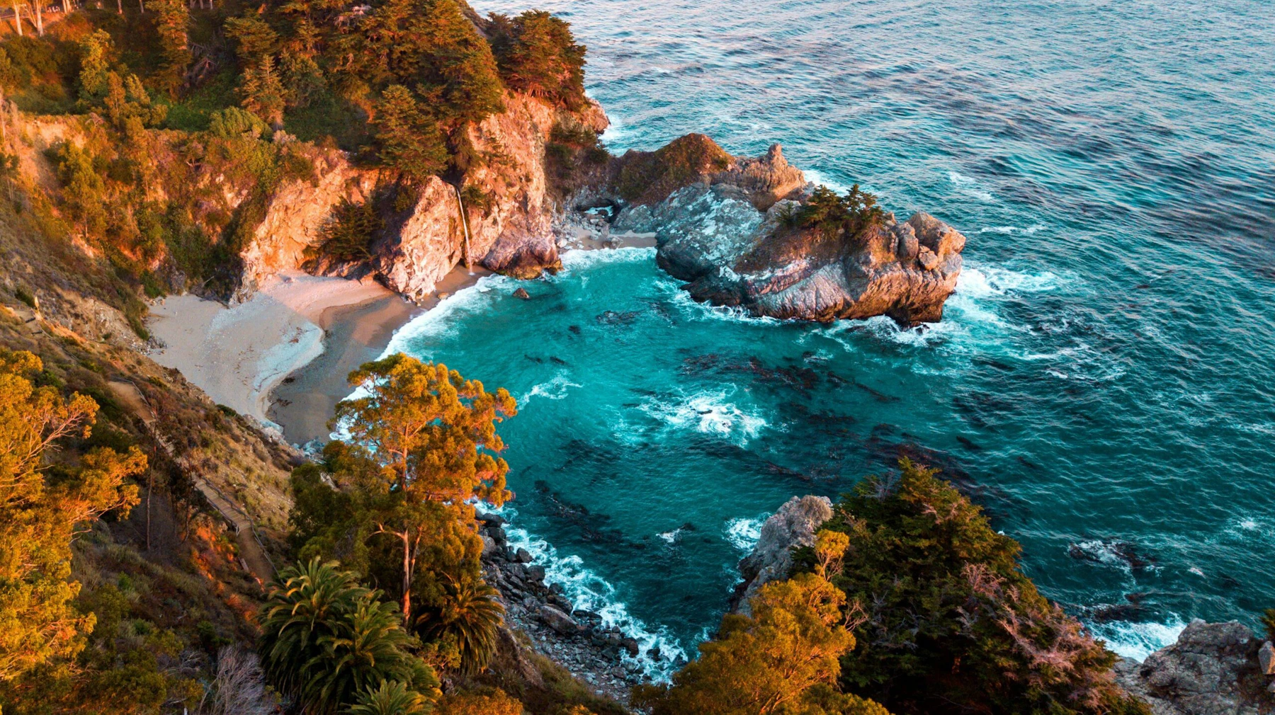
Experience the Los Padres National Forest, encompassing 1.75 million acres of central California’s scenic Coast and Transverse Ranges. The spectacular Big Sur Coast, an international treasure, is one of the outstanding features of the Los Padres.
The forest stretches across almost 220 miles along the coast, including Monterey, San Luis Obispo County, Big Sur Coast, Santa Barbara, Ventura, and Kern. Within this stretch are 10 designated Wilderness Areas, comprising 48 percent of the forest’s total area. These include the Ventana, Silver Peak, Santa Lucia, Machesna Mountain, Garcia, San Rafael, Dick Smith, Sespe, Matilija, and Chumash wildernesses.
A member of the California Condor Recovery Program, the Los Padres has been an active player in the reintroduction of California condors into the wild. The forest manages two condor sanctuaries, including the 53,000-acre Sespe Condor Sanctuary in Ventura County.
The Los Padres National Forest has many trails and roads that are ideal for hikers, cyclists, and equestrian enthusiasts. Mountain bikes are allowed on most forest trails. The Los Padres National Forest is also home to many day-use and overnight developed camping facilities.
Anglers will find a wide variety of fishing opportunities on the 400 miles of year-round and seasonal flowing streams and in the 37 lakes and reservoirs within or near the forest. And, of course, there is the vast expanse of incredible beaches.
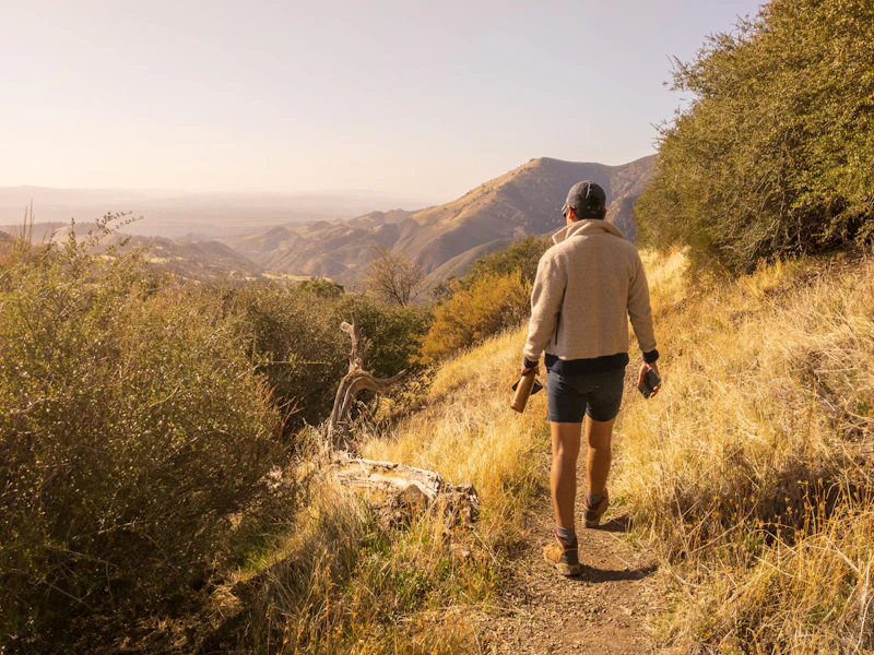 Photo by Taylor Abad
 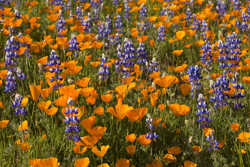 California poppies and lupine. Photo by Damian Gadal
 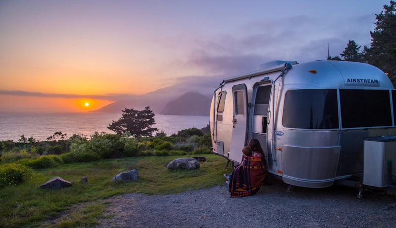 Photo by Nina Ritchie
 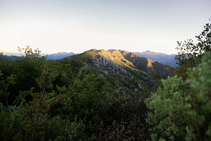 Photo by Sabrina Claros
 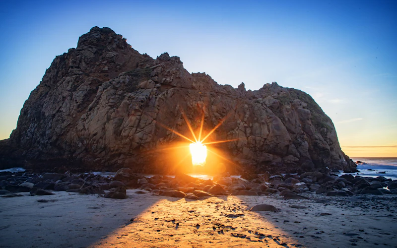 Keyhole Arch at Pfeiffer Beach. Photo by Nate Dunlap
 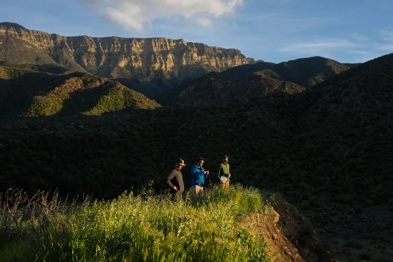 Photo by Jeremy Boggs
 What is the History of the Los Padres National Forest?
Los Padres National Forest has prehistoric and historic Native American sites, including some of the most extraordinary native rock art to be found anywhere in the world. Created by the Chumash Indians, these complex and intriguing pictographs are found on numerous rock outcroppings and in caves throughout the forest. In addition to the Chumash, the area has been home to the Salinan, Esselen, and Yokuts peoples.
Spanish colonization in the late 18th century brought dramatic changes, as missions displaced Native communities and transformed local ecosystems. In the 19th century, after California became part of the United States, the forested lands were logged, grazed, and mined.
The area originally comprised the Monterey and Santa Barbara Forest Reserves, which later merged to form the Los Padres National Forest in 1936.
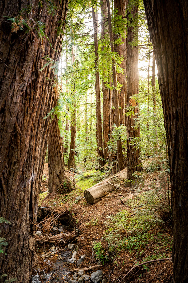
How to Get to the Los Padres National Forest
For visitors heading to the northern district, Highway 1 offers a spectacular coastal route through Big Sur, while Highway 101 connects inland communities like King City, Salinas, and San Luis Obispo. From the coast, Highway 198 leads into the rugged Ventana Wilderness.
In the southern district, travelers can reach the Los Padres via Highway 101 through Santa Barbara, Goleta, and Santa Maria, or from Ojai and Ventura via scenic Highway 33. Farther south, Highway 166 and Interstate 5 connect visitors from the Central Valley and Los Angeles areas.
- San Luis Obispo: 10 minutes to 3 hours by car
- Santa Barbara, California: 1 to 3 hours by car
- Bakerfield, California: 1.5 to 4 hours by car
- Los Angeles, California: 2 to 5 hours by car
- Monterey, California: 1 to 5 hours by car

Just 10 minutes from San Luis Obispo is this stunning landscape of chaparral-covered peaks, lush valleys, and waterfalls. Trails lead to ridgetops from where hikers can see striking Morro Rock, the last of a series of extinct volcanoes along the coast, and the Seven Sisters hills.
This 17-mile one-way route from Piedra Blanca near Ojai to spectacular Sespe Hot Springs passes sandstone cliffs, cool swimming holes, and cottonwood and sycamore groves. The springs are home to some of the hottest natural water in America.
In Big Sur’s Ventana Wilderness, take in dramatic coastal views and redwood forests by hiking trails like Pine Ridge Trail to Sykes Hot Springs or Salmon Creek Falls Trail to a waterfall-fed swimming pool, both featuring classic Central Coast beauty.
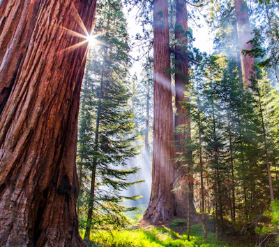 Redwoods Towering hundreds of feet tall, the coast redwoods in the Ventana Wilderness near Big Sur represent the southernmost range of the species.
 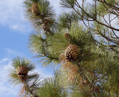 Coulter pine Sometimes called “big-cone pine” for its cones that weigh up to 10 pounds, this species of tree is native to the Los Padres. A 1,500-acre research area in the Machesna Mountain Wilderness is dedicated to studying it.
  Prairie falcon With a pale body, dark facial markings, and long wings, this raptor is a skilled hunter that can be spotted over the forest’s open slopes and canyons.
 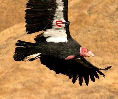 California condor Once nearly extinct, intensive conservation efforts have rehabilitated this scavenger—one of the world’s largest birds—to its native habitat.
 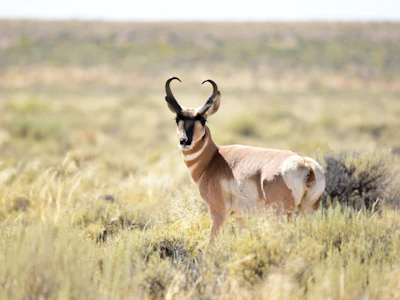 Pronghorn North America’s fastest land animal, capable of reaching speeds of up to 60 miles per hour, can be spotted throughout the prairie areas.
 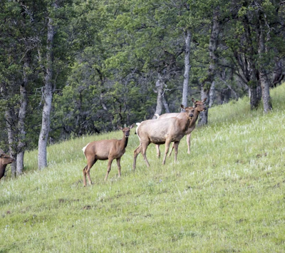 Tule elk This subspecies of elk, found only in California, occupies the grasslands and marshlands of the forest, and can often be spotted in protected areas like the Carrizo Plain.
 Related Impact
The Next Generation of Land Stewards
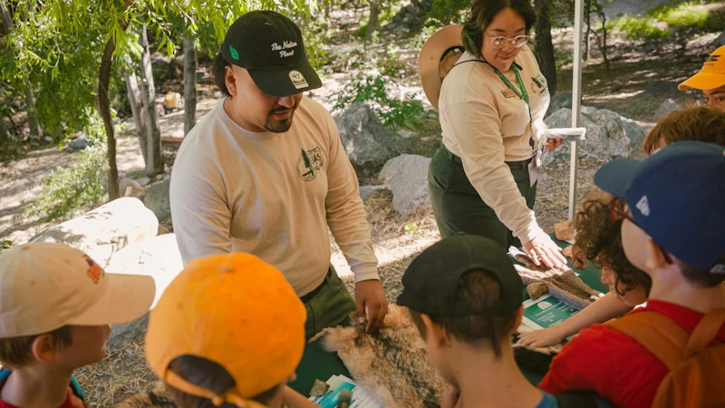
The Field Ranger Program connects communities to forests in Southern California through experiential hands-on learning and mentorship geared towards outdoor careers.
What’s the Best First-Timer’s Adventure in the Los Padres National Forest
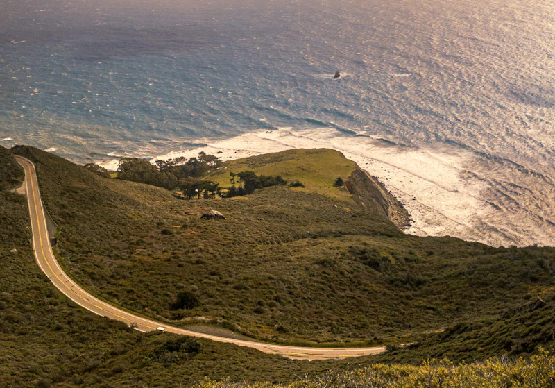
Experience the Jacinto Reyes Scenic Byway, a 38-mile segment of State Highway 33 known as the Maricopa Highway. The route travels through some of the most picturesque and diverse terrain in southern California. Expect spectacular vistas of beautiful cliffs, rock formations, and lush riparian areas.
Where to Find More Information on the Los Padres National Forest
For more information or questions, visit https://www.fs.usda.gov/r05/lospadres
Discover how communities, volunteers, and partners are shaping the future of our National Forests and Grasslands.
Erosion and wildfire had left Arizona's historic Highline Trail rutted and unsafe. After five years of work with the Tonto…
Forest restoration near Flagstaff is reducing wildfire risk for local communities and safeguarding the water supply for millions across the…
Colorado's 14ers draw thousands of visitors each year, and the pressure on these fragile alpine landscapes is growing. Here's a…
Visitors of all ages can explore forest trails and sparkling waters, discover wildlife and underwater habitats, and connect with Tahoe’s…
A partnership-driven program connecting youth on Montana’s Flathead Reservation with hands-on conservation work, heritage education, and pathways in natural resource…
Seeing the impact first hand on the Grand Mesa, Uncompaghre and Gunnison National Forests
Seven Years of Reopening Trails After the Eagle Creek Fire
Field Ranger Program Connects Diverse Communities to Forests in Southern California
Anna's family has been planting trees for 50 years. Now she is helping build a sustainable model to meet the…
Nature-based solutions are bringing life back to streams and wetlands in the Colorado River Watershed, securing water for people, wildlife,…
Our Forests Need Us Today.
Your donation powers critical, on-the-ground conservation—from wildfire recovery to watershed restoration—protecting forests for the future.

