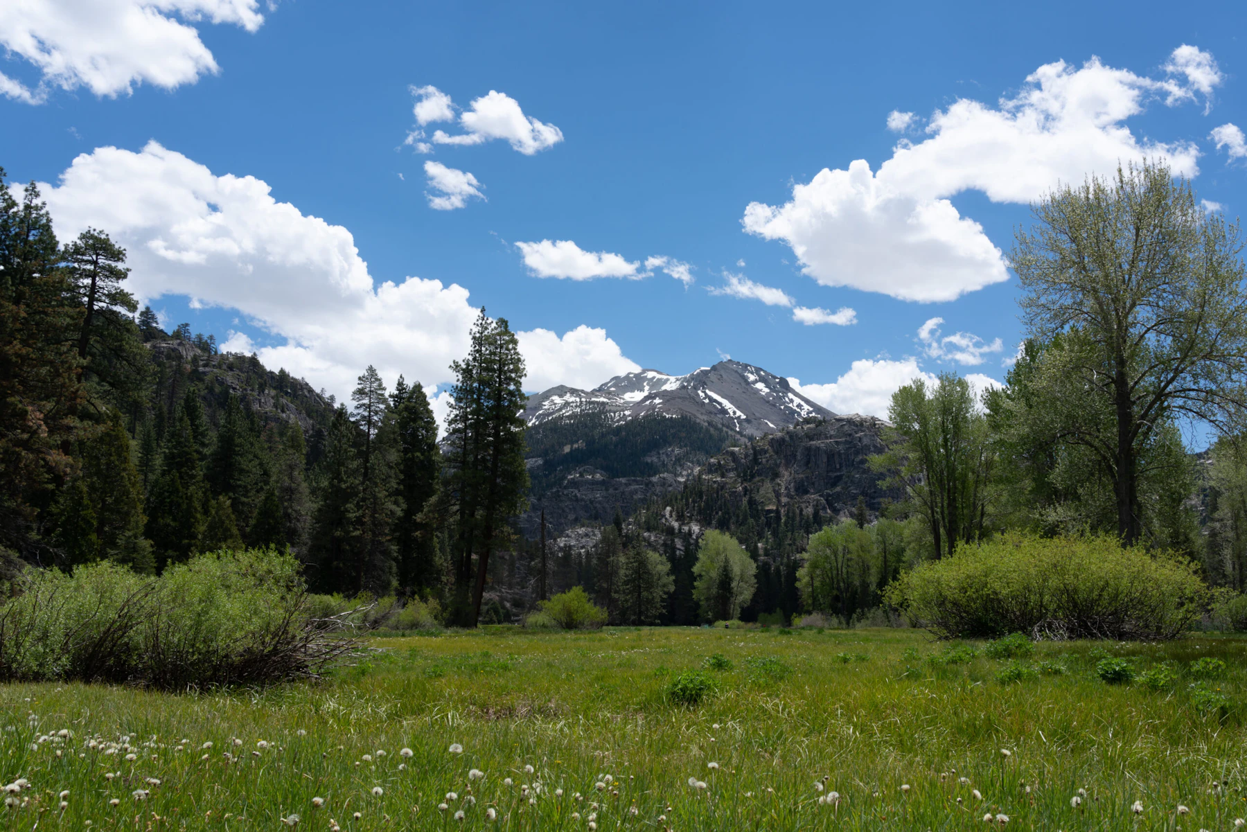
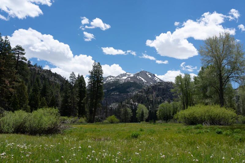
Explore the Stanislaus National Forest, nearly 900,000 acres of volcanic landscapes, towering conifers, pristine rivers in California’s spectacular Central Sierras. The Stanislaus borders Yosemite National Park to the south, offering up the same epic granite formations and recreation without the crowds or booking windows.
Swim near a sandy beach at a recreation area, fish 800 miles of waterways, or kayak along one of 78 lakes. The Stanislaus National Forest contains the headwaters of its namesake river, as well as two Wild and Scenic Rivers, the Tuolumne and Merced, which are preserved in a free-flowing state. As for lakes, Cherry and Beardsley are excellent for motorized boats and water-skiing, while Lake Alpine and Pinecrest cater to sailboats and canoes.
The Stanislaus National Forest contains all of the Emigrant Wilderness Area and portions of the Carson-Iceberg and Mokelumne wildernesses. With more than 1,000 miles of trails, visitors enjoy hiking, mountain biking, horseback riding, and winter sports such as snowshoeing and cross-country skiing throughout this year-round playground. The forest is also a climber’s paradise: Its granite walls at higher elevations, from Columns of the Giants to Donnell Vista, offer an exciting—and more relaxing—alternative to Yosemite.
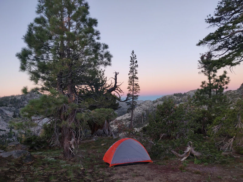 Photo by Will Decker
 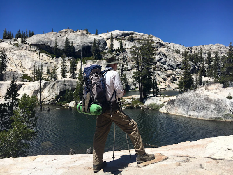 Photo by Susan Clark
 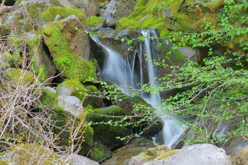 Photo by U.S. Forest Service
 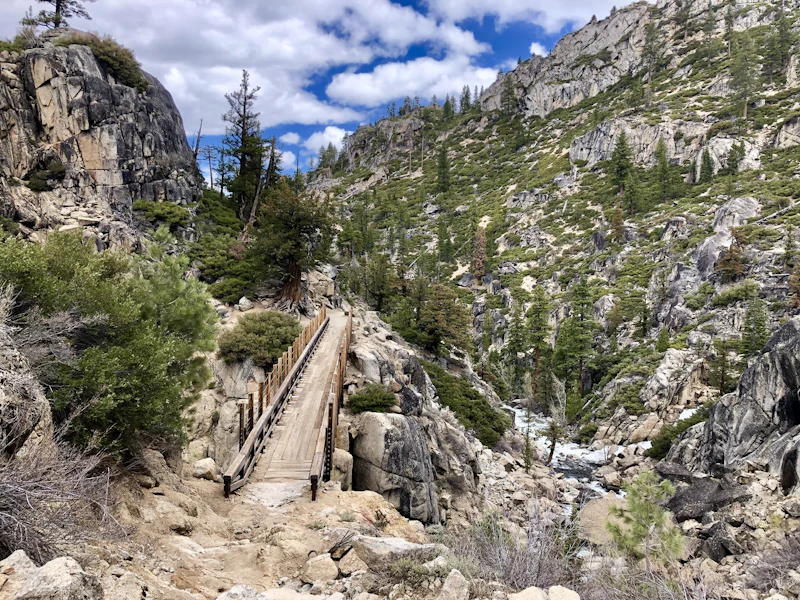 Photo by Martha Geiszler
 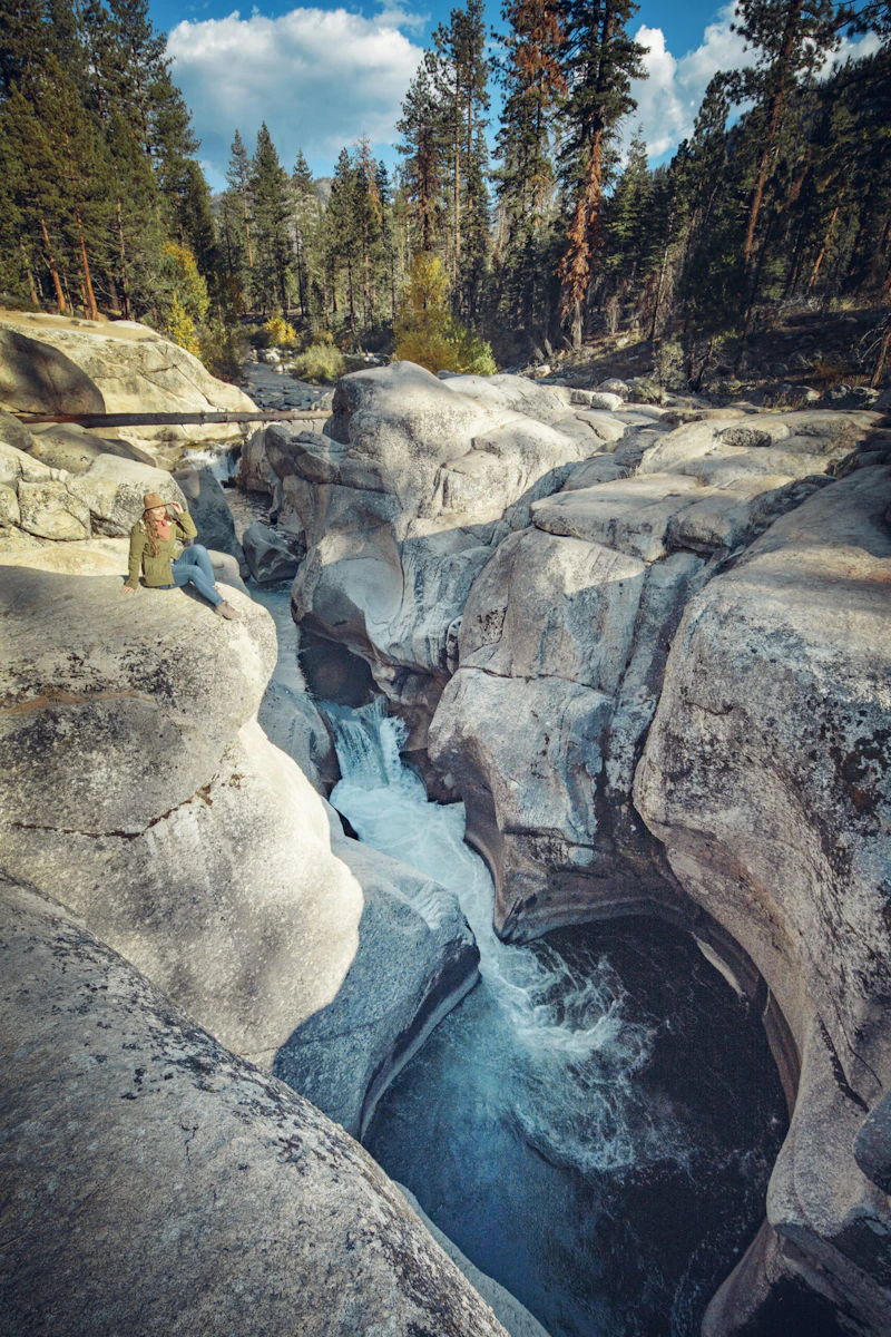 Photo by Nate Dunlap
 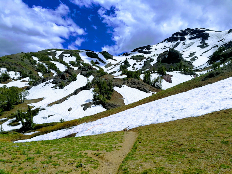 Photo by Ethan Boehm
 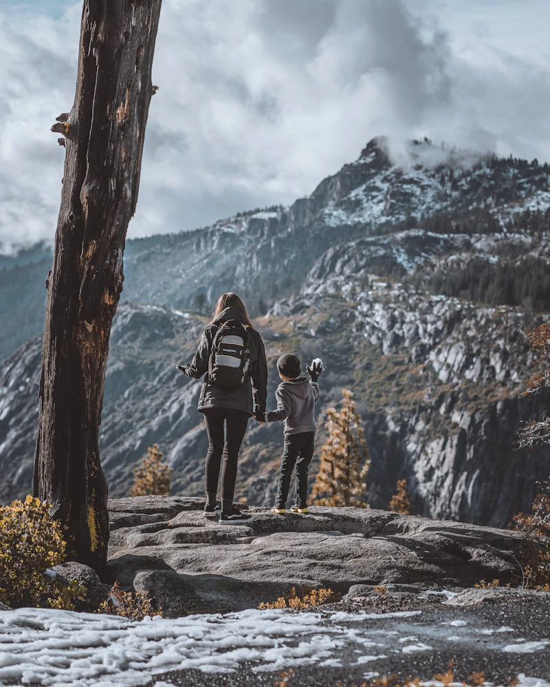 Photo by Tyler Martinez
 What is the History of the Stanislaus National Forest?
Established in 1897, it is one of the oldest national forests in the United States, created during a period when the federal government began recognizing the need to protect forested lands from overuse, unregulated logging, and mining. Long before federal designation, the region was home to Indigenous peoples, including the Miwok and Paiute.
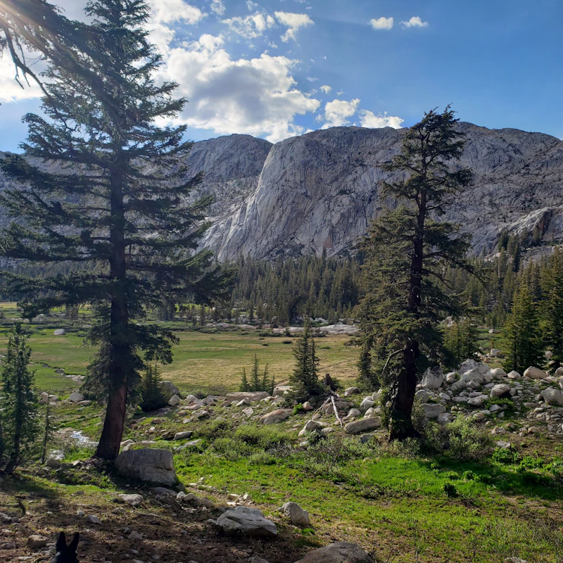
How to Get to the Stanislaus National Forest
One of the main routes into the forest is Highway 108, or the Sonora Pass Highway. This road begins in the Central Valley and passes through the historic town and gateway of Sonora.
Another major entry corridor is Highway 120, which runs from the city of Oakdale through Groveland, another key town, before reaching areas near the forest’s southern boundary and the edge of Yosemite National Park.
To the north, Highway 4 travels through Angels Camp and Arnold to the forest. From the east, the forest can also be reached via mountain roads from Bridgeport when seasonal passes are open.
- Modesto, California: 2 to 2.5 hours by car
- Sacramento, California: 2 to 3 hours by car
- Fresno, California: 3 to 3.5 hours by car
- Reno, Nevada: 3 to 3.5 hours by car
- San Francisco, California: 3.5 to 4 hours by car

Considered one of the top five best whitewater rafting destinations in the country, the Tuolumne is famous for its Class IV–V rapids, crystal-clear pools, waterfalls, and rugged granite canyon scenery. Guided trips typically start at Merced Grove and hit iconic rapids like Rock Garden and Clavey Falls.
These unique basalt formations rise dramatically above the Stanislaus River, providing a mix of crack climbs, face routes, and bouldering problems suitable for a range of skill levels.
One of the largest lakes in the forest, Cherry Lake is a coveted destination for boating, kayaking, fishing, and dispersed camping. It’s quieter than Pinecrest and neighboring lakes in Yosemite, and offers easy access to hiking trails and scenic forest roads in the remote Groveland Ranger District.
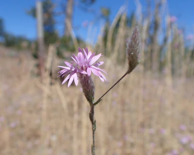 Sierra lessingia The pale-purple to lavender ray flowers of this annual wildflower native to the Sierras can be spotted on dry slopes, ridges, and forest openings.
 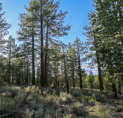 Jeffrey pine One of the most common conifers in the forest, this pine grows up to 200 feet and has bark that smells like butterscotch.
 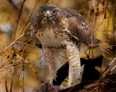 Red-tailed hawk This top predator, recognized by its broad wings and reddish tail, is one of the most commonly spotted raptors in the forest.
 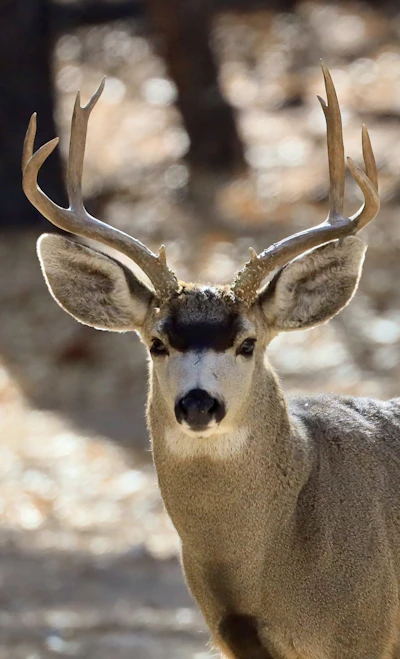 Mule deer With a stocky build, black-tipped tail, and a brown coat that turns gray in the winter, this deer feeds on shrubs, grasses, and acorns and prefers high elevation areas.
 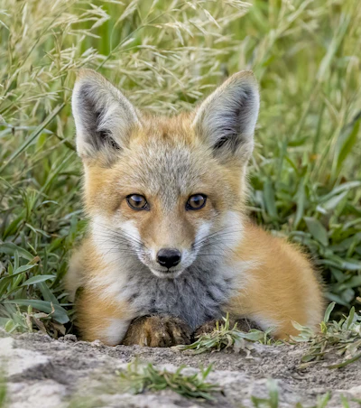 Red fox With a bushy tail, pointed ears, and rust-colored coat, this primarily nocturnal fox inhabits mixed conifer forests and high-elevation meadows.
 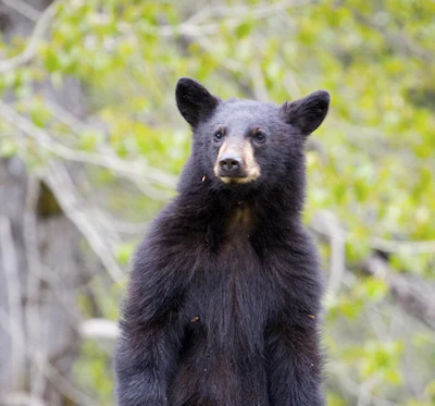 Black bear Ranging in color from black to light brown, this bear is a rare site in the forest’s mixed woodlands and riparian areas, but be sure to stow food away properly and be bear aware.
 Related Impact
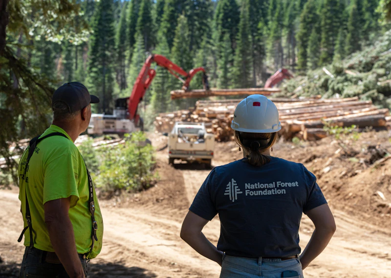
Creating a Fire Resilient Truckee
The largest, most destructive wildfires in California’s history have occurred in the last ten years. Everything is at stake for mountain communities like Truckee.
What’s the Best First-Timer’s Adventure in the Stanislaus National Forest
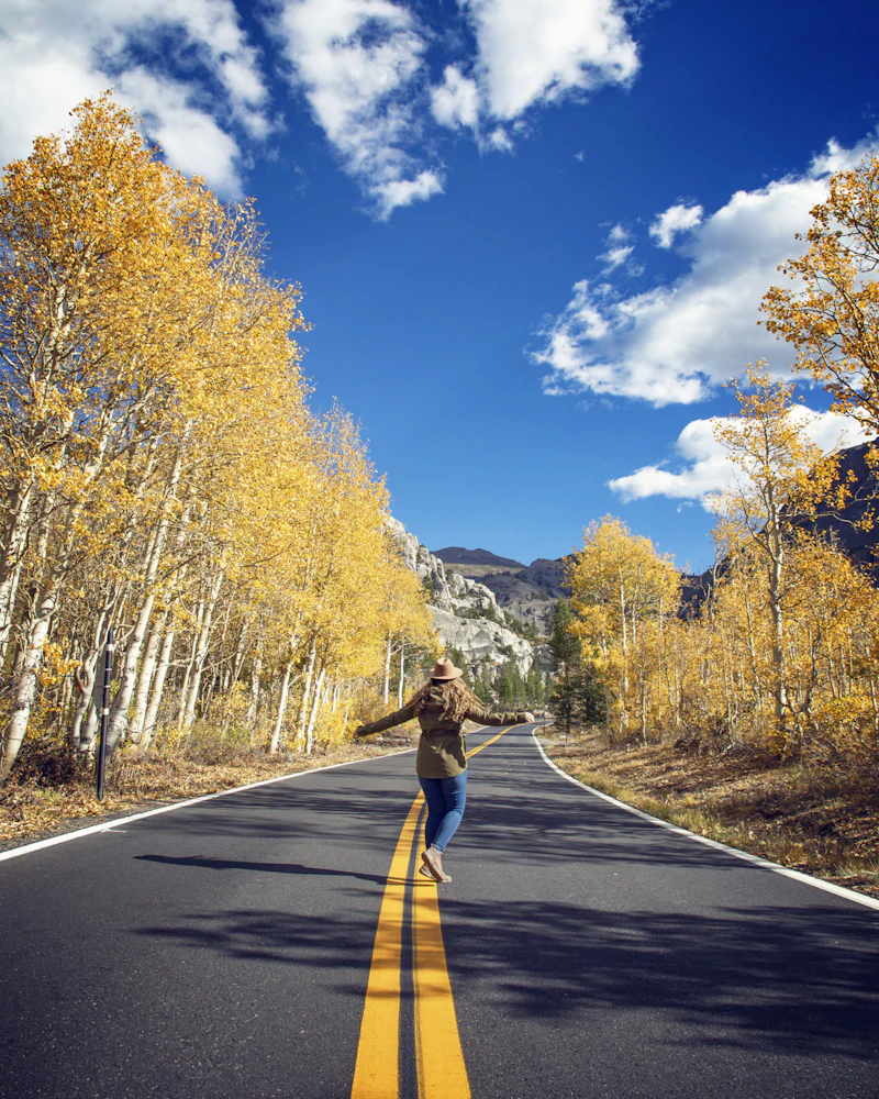
For the best view in Stanislaus National Forest, take Highway 108, which climbs dramatically to 9,623-foot Sonora Pass. The area has breathtaking vistas, wildflowers in summer, and trailheads leading to alpine lakes and high-country ridges. The Pacific Crest Trail crosses the pass, making it a great starting point for scenic day hikes.
Where to Find More Information on the Stanislaus National Forest
For more information or questions, visit https://www.fs.usda.gov/r05/stanislaus.
Discover how communities, volunteers, and partners are shaping the future of our National Forests and Grasslands.
After years of damage, recovery, and reconstruction, the trail to Hanging Lake has been fully rebuilt, creating a more durable,…
Erosion and wildfire had left Arizona's historic Highline Trail rutted and unsafe. After five years of work with the Tonto…
Forest restoration near Flagstaff is reducing wildfire risk for local communities and safeguarding the water supply for millions across the…
Colorado's 14ers draw thousands of visitors each year, and the pressure on these fragile alpine landscapes is growing. Here's a…
Visitors of all ages can explore forest trails and sparkling waters, discover wildlife and underwater habitats, and connect with Tahoe’s…
A partnership-driven program connecting youth on Montana’s Flathead Reservation with hands-on conservation work, heritage education, and pathways in natural resource…
Seeing the impact first hand on the Grand Mesa, Uncompaghre and Gunnison National Forests
Seven Years of Reopening Trails After the Eagle Creek Fire
Field Ranger Program Connects Diverse Communities to Forests in Southern California
Anna's family has been planting trees for 50 years. Now she is helping build a sustainable model to meet the…
Our Forests Need Us Today.
Your donation powers critical, on-the-ground conservation—from wildfire recovery to watershed restoration—protecting forests for the future.

