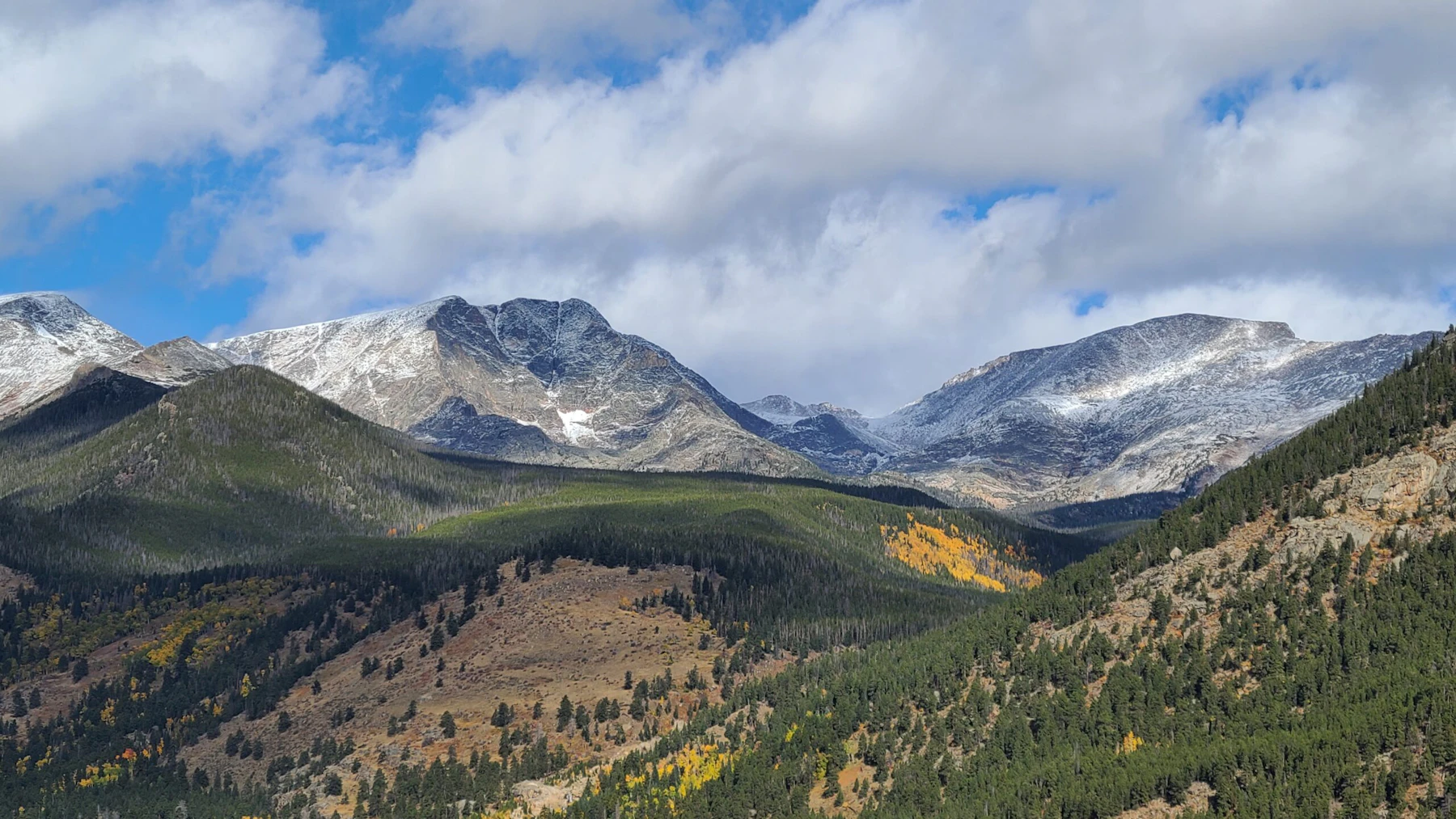
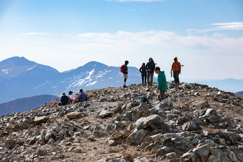
From majestic mountains to vast expanses of grasslands, the Arapaho and Roosevelt National Forests and the Pawnee National Grassland in northern Colorado is a gateway to adventure in the Rocky Mountains. Its diverse topography varies from rolling hills to snow-covered peaks more than 14,000 feet high.
The scale of protected area in the Arapaho-Roosevelt is staggering, with two National Recreation Areas and ten Wilderness Areas. It offers year-round recreation, including hiking, camping, horseback riding, fishing, hunting, climbing, and a variety of winter sports.
This abundance of adventure, combined with the Arapaho-Roosevelt National Forest’s proximity to Denver, make it one of the country’s most popular National Forests and Grasslands. It also provides a much less crowded alternative to neighboring Rocky Mountain National Park, while offering the same epic scenery.
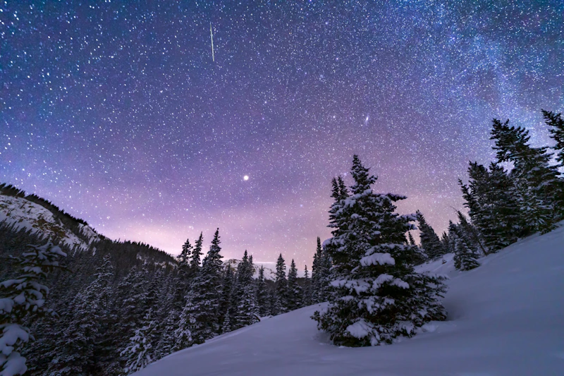 Photo by Steve Pulver
  Photo by Fan Zhang
 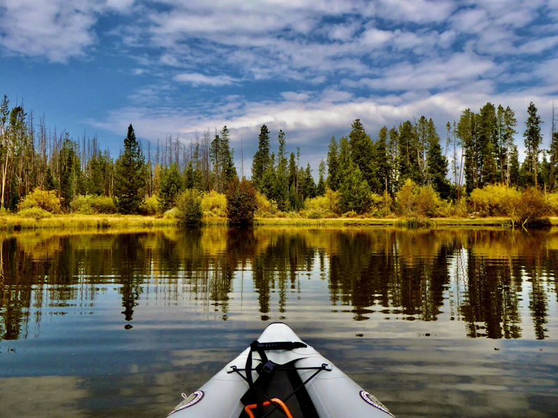 Photo by Kerry Demandante
 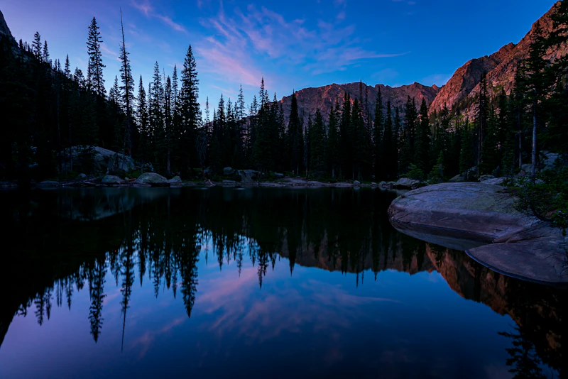 Photo by Brent Newman
 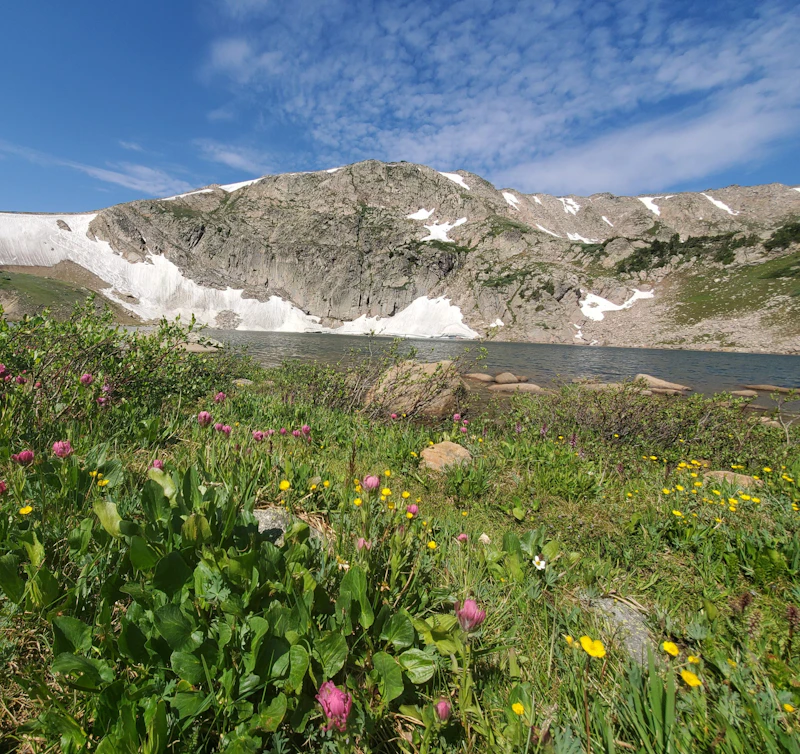 Photo by Christina Fesz
 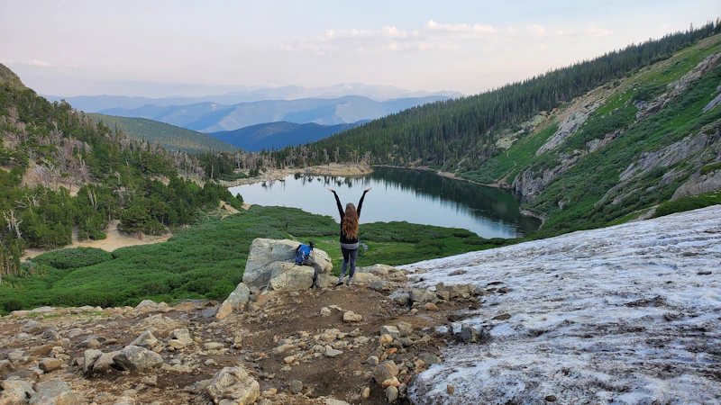 Photo by Shayna Diamond
 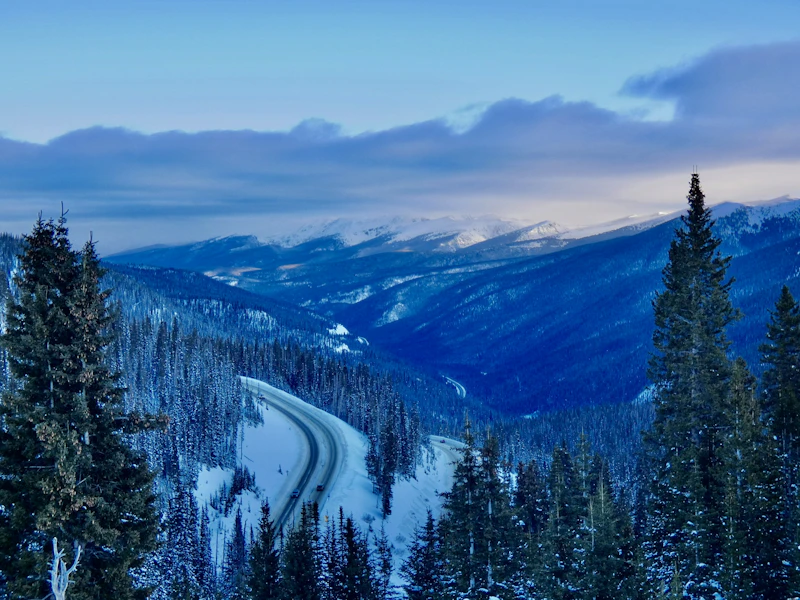 Photo by Kerry Demandante
 What is the History of the Arapaho-Roosevelt National Forest and Pawnee National Grassland?
These lands flank the Rocky Mountains and its foothills on both sides of the Continental Divide, an area that was primarily Ute and Arapaho territory. In 1908, President Theodore Roosevelt established the Arapaho National Forest, naming it after one of the tribes.
The Roosevelt National Forest was first named the Colorado National Forest, before President Hoover renamed it in honor of the former president in 1932. For administrative reasons, the forests were combined in 1978.
The area that makes up today’s Pawnee National Grassland was devastated by the dust bowl of the 1930s, before the Soil Conservation Service (now the Natural Resources Conservation Service) was enlisted to rehabilitate the area. It was designated a National Grassland in 1960.
The combined lands are a testament to successful landscape rehabilitation, containing ten Wilderness Areas, which are some of the most natural and undisturbed places in America: Byers Peak, Cache la Poudre, Comanche Peak, Indian Peaks, James Peak, Mount Evans, Neota, Rawah, Never Summer, and Vasquez Peak.
Today, the Arapaho-Roosevelt ranks as one of the most visited National Forests, averaging 7.5 million visitors every year.
How to Get to the Arapaho-Roosevelt National Forest and Pawnee National Grassland
Arapaho-Roosevelt National Forest and Pawnee National Grassland is in northern Colorado, near its border with Wyoming, making it within a day’s drive from four states. Its proximity to the Denver area’s nearly 3 million residents—less an hour’s drive from the city center without traffic—makes it one of the most visited sites in the National Forest system.
To reach the forest, most visitors take Interstate 70, Highway 287, and Highway 287 to the gateway points of Boulder, Granby, Fort Collins, Nederland, and Estes Park. The town of Estes Park is not only popular for northern access to Arapaho-Roosevelt but also Rocky Mountain National Park. The Pawnee National Grassland is mainly accessed via Highway 85, Interstate 76, and State Highway 14 through the towns of Greeley, Bruch, Weldona, Ault, and Stoneham.
- Fort Collins, Colorado: A half-hour by car
- Boulder, Colorado: A half-hour to 1 hour by car
- Denver, Colorado: 1 hour by car
- Cheyenne, Wyoming: 1 hour by car
- Laramie, Wyoming: 1 hour by car

One of the ten Wilderness Areas in Arapaho-Roosevelt National Forest, Indian Peaks Wilderness ranks among the most stunning alpine landscapes in the West. With its chalky granite peaks, 50 sparkling lakes and 133 miles of trails that feature six crossings of the Continental Divide, there’s no area quite like it. If you’re heading backcountry, be sure to secure a permit.
To experience the highest paved highway in North America, opt for the Mount Blue Sky Scenic Byway and climb more than 7,000 feet in just 28 miles. Along the way, stop at scenic Echo Lake for plenty of camping, fishing, and hiking opportunities.
The Arapaho National Recreation Area is a 36,000 acre scenic water wonderland in the upper reaches of the Colorado River Valley. The Brainard Lake Recreation Area offers spectacular scenery and a wide variety of year-round outdoor recreation opportunities.
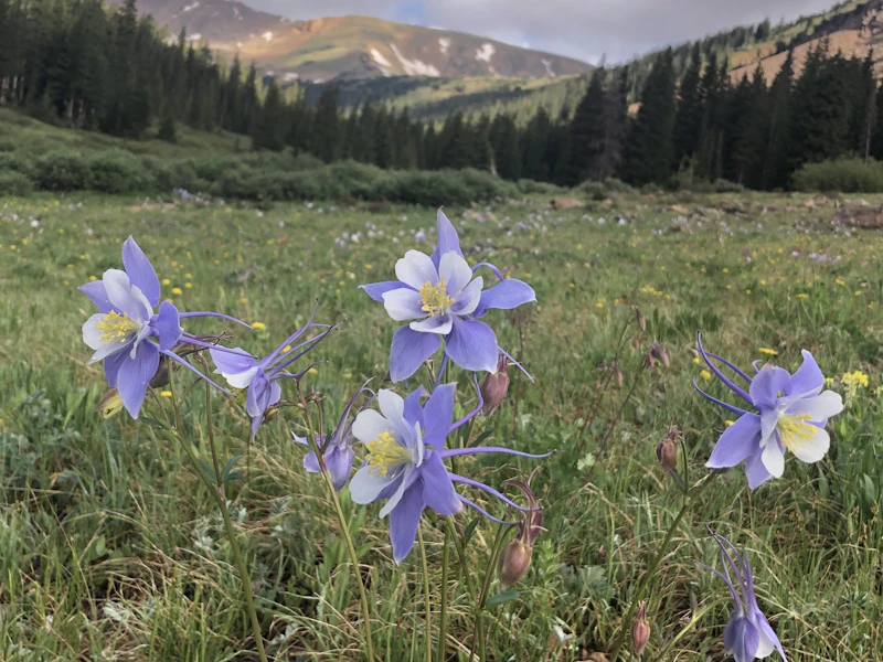
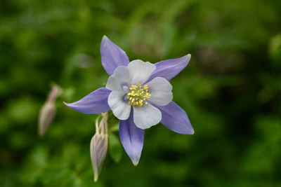 Colorado columbine The state flower turns Arapaho-Roosevelt’s aspen groves, open forests, meadows, and talus slopes white and blue come summer.
 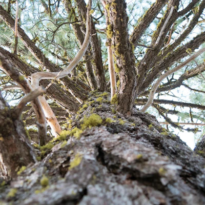 Lodgepole pine This is the most common tree species found in the Arapaho-Roosevelt National Forest. The tall and thin conifer plays an important part in regeneration after wildfire, as the resin in its cones melt—and seeds release—only when heated by fire.
  Pika This rabbit-like creature, known for circular ears, can be spotted in environments above treeline and heard making their distinctive “meep” call.
 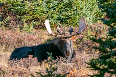 Moose Since being reintroduced to Colorado in the 1970s, moose have thrived across the Front Range. Growing up to six feet tall and weighing up to 1,600 pounds make them easy to spot, especially in Kawuneeche Valley.
 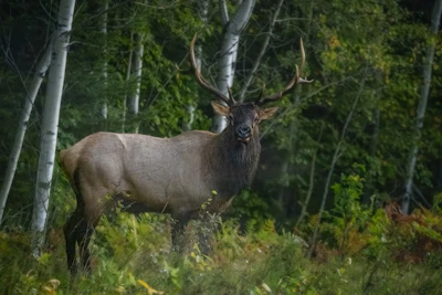 Elk This majestic animal, the second largest species in the deer family after moose, is most active during dawn and dusk and during fall rutting season.
 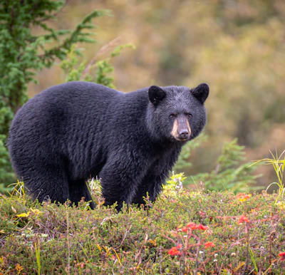 Black bear This small bear isn’t frequently sighted in the National Forest. It is shy and usually avoids humans, but its excellent sense of smell means visitors should keep food stowed properly when camping.
 Related Impact
The Great American Outdoors Act in Colorado
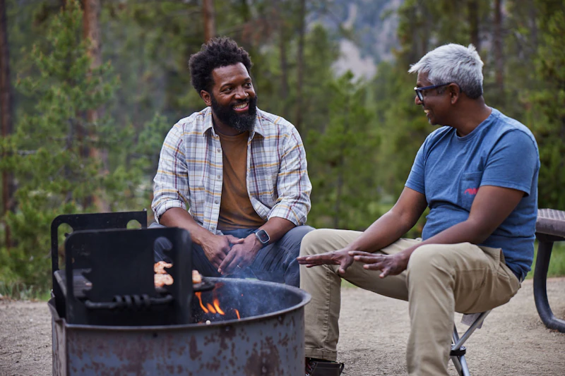
Discover the impact of The Great American Outdoor Act on communities in Colorado with Baratunde Thurston, host of the PBS show America Outdoors.
What’s the Best First-Timer’s Adventure in the Arapaho-Roosevelt National Forest and Pawnee National Grassland?
During the spring wildflower bloom or fall’s peak foliage, take a drive along the Peak to Peak, Colorado’s oldest scenic byway. Starting in Estes Park and ending in Black Hawk, the 55-mile route features some of the most spectacular views of the Front Range mountains.
Where to Find More Information on Arapaho-Roosevelt National Forest and Pawnee National Grassland
For more information or questions, visit https://www.fs.usda.gov/r02/arp
Discover how communities, volunteers, and partners are shaping the future of our National Forests and Grasslands.
Erosion and wildfire had left Arizona's historic Highline Trail rutted and unsafe. After five years of work with the Tonto…
Forest restoration near Flagstaff is reducing wildfire risk for local communities and safeguarding the water supply for millions across the…
Colorado's 14ers draw thousands of visitors each year, and the pressure on these fragile alpine landscapes is growing. Here's a…
Visitors of all ages can explore forest trails and sparkling waters, discover wildlife and underwater habitats, and connect with Tahoe’s…
A partnership-driven program connecting youth on Montana’s Flathead Reservation with hands-on conservation work, heritage education, and pathways in natural resource…
Seeing the impact first hand on the Grand Mesa, Uncompaghre and Gunnison National Forests
Seven Years of Reopening Trails After the Eagle Creek Fire
Field Ranger Program Connects Diverse Communities to Forests in Southern California
Anna's family has been planting trees for 50 years. Now she is helping build a sustainable model to meet the…
Nature-based solutions are bringing life back to streams and wetlands in the Colorado River Watershed, securing water for people, wildlife,…
Our Forests Need Us Today.
Your donation powers critical, on-the-ground conservation—from wildfire recovery to watershed restoration—protecting forests for the future.

