Grand Mesa, Uncompahgre and Gunnison National Forests
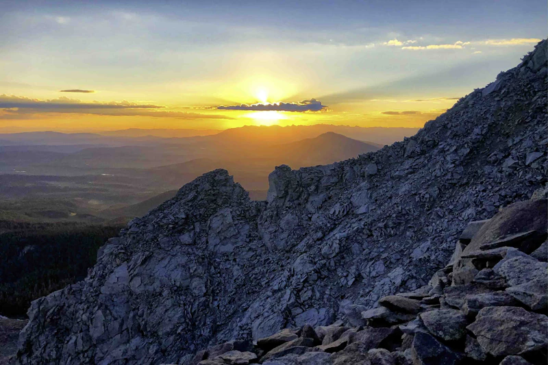
Sunset vista from the Grand Mesa during peak fall foliage. Photo by Steve Luther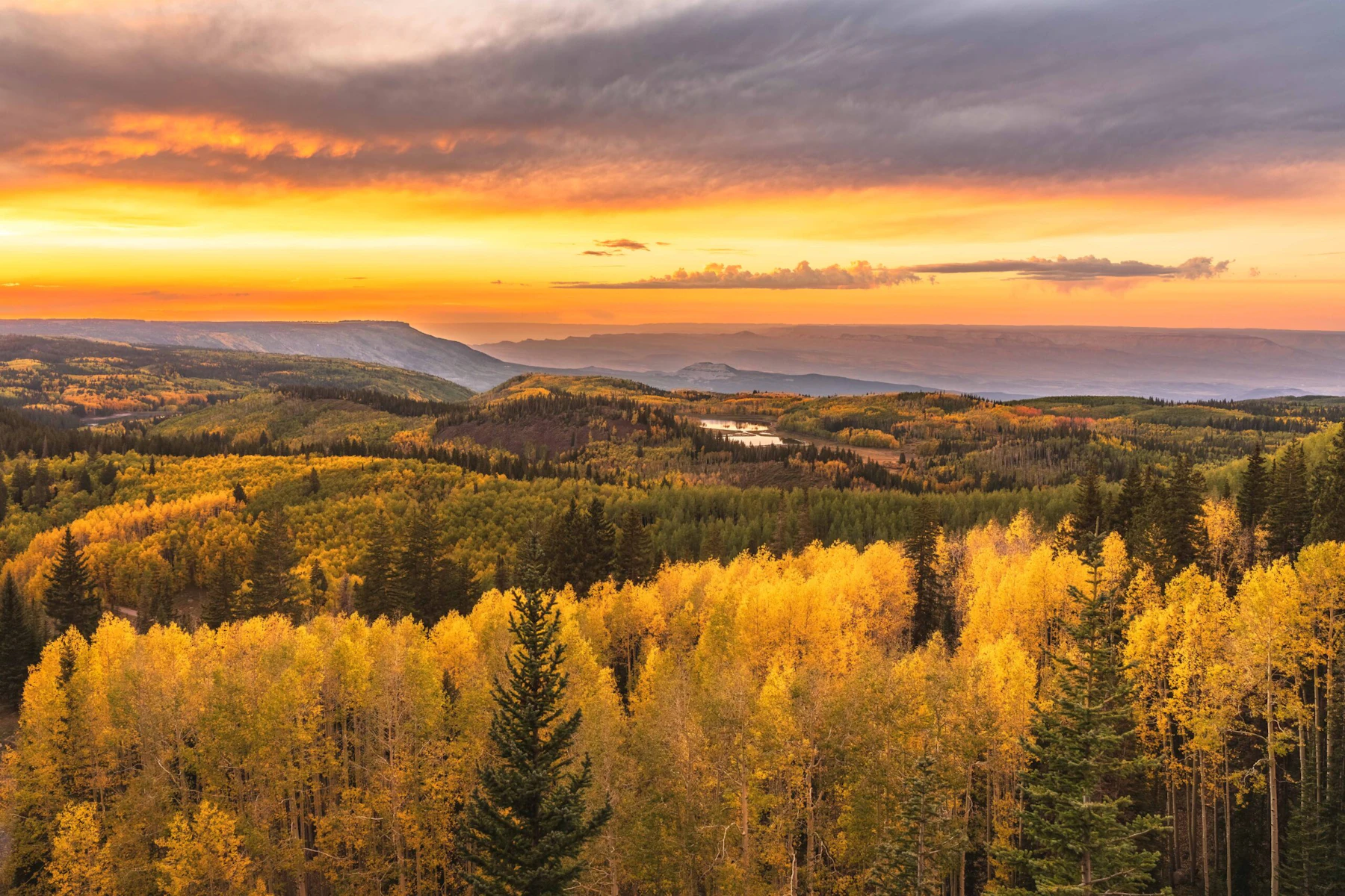
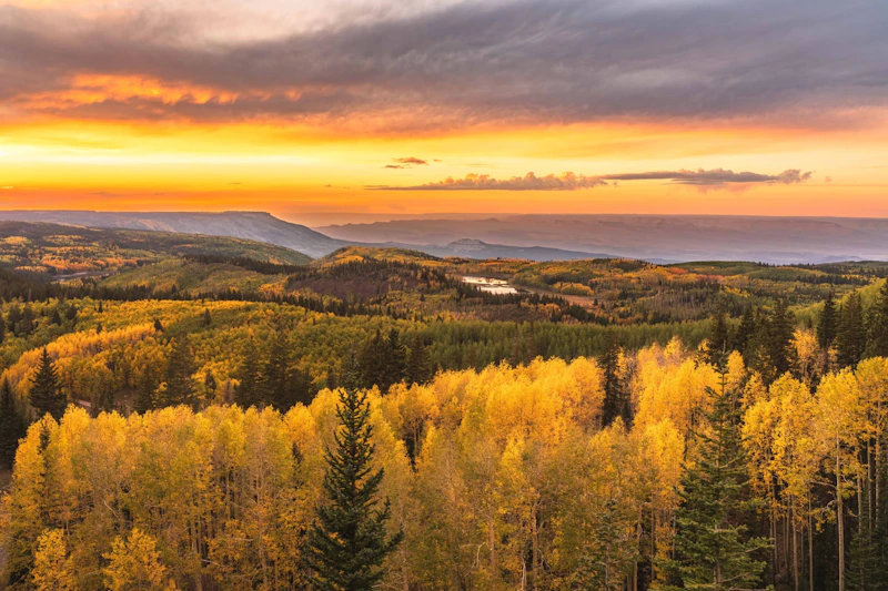
Discover the Grand Mesa, Uncompahgre, and Gunnison National Forests, three combined forests that cover more than three million acres in the central and southern Rocky Mountains. The area lies south of the Colorado River and west of the Continental Divide with some of the most spectacular scenery in the Rockies.
The forests include spectacular features like the 355-foot-high Bridal Veil Falls; the Grand Mesa, one of the world’s largest flat top mountains, dotted with 300 lakes; and Alpine Tunnel, once the highest railroad tunnel in North America. The forests vary in elevation from 5,800 feet above sea level in Roubideau Creek Canyon to 14,309 feet at Uncompahgre Peak.
The Grand Mesa, Uncompahgre, and Gunnison National Forests include 10 designated wilderness areas, which altogether make up 19 percent of the three forests. With over 3,500 miles of trails and six peaks over 14,000 feet in elevation, there’s a variety of hiking, biking, horseback riding, and cross-country skiing at varying levels. In addition for backcountry tracks open to off-roading, there are also four scenic byways, while over 3,600 miles of perennial streams offer excellent fly-fishing.
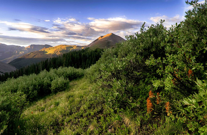 View of the Uncompahgre Wilderness from Wetterhorn Peak. Photo by Matt Nunez
 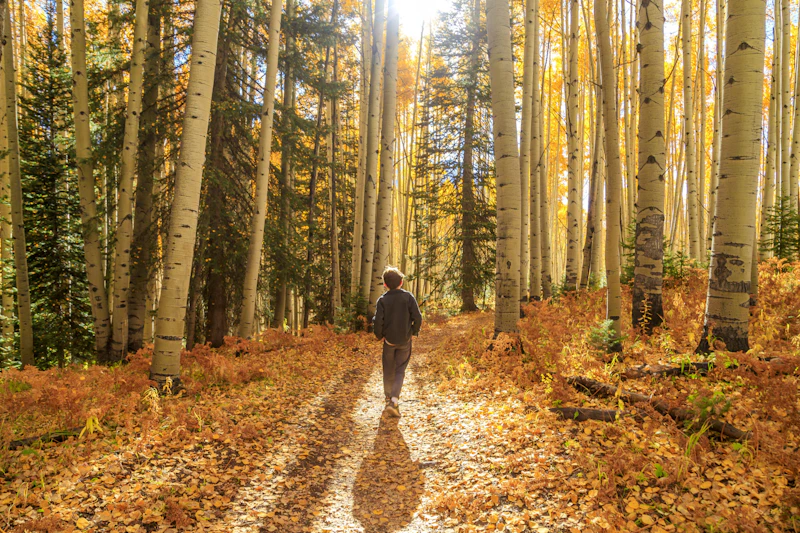 Photo by Nina Ritchie
  Hiking the Continental Divide. Photo by Scott Anderson
  Photo by Bailey Scalise
 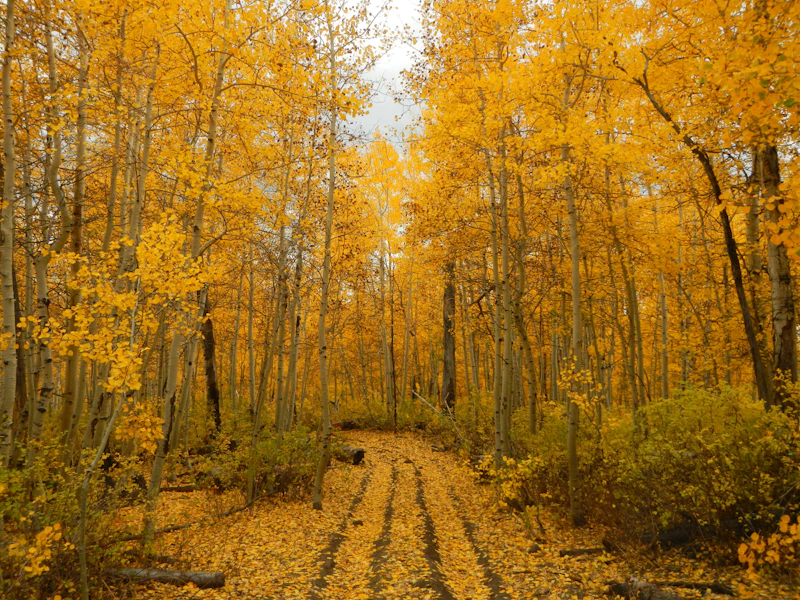 Photo by Kim Clemens
 What is the History of the Grand Mesa, Uncompahgre, and Gunnison National Forests?
The Grand Mesa Forest Reserve was established first in 1892, making it one of the earliest forest reserves in the country. It protected the Grand Mesa, one of the world’s largest flat-topped mountains, a vital watershed for nearby communities.
The Uncompahgre Forest Reserve followed in 1905, encompassing the rugged San Juan Mountains and the headwaters of several major rivers. Finally, the Gunnison Forest Reserve was created in 1905 as well, preserving vast alpine meadows, high peaks, and critical wildlife habitat across central Colorado.
Long before, the Ute people, including the Uncompahgre, Tabeguache, and White River bands, lived, hunted, and traveled throughout these mountains and valleys. The discovery of minerals in the San Juan Mountains in the 1860s and 1870s led to waves of miners, settlers, and loggers.
The reserves were designated as National Forests in 1908, and administratively combined in 1973.
How to Get to the Grand Mesa, Uncompahgre, and Gunnison National Forests
The Grand Mesa, Uncompahgre, and Gunnison National Forests cover a vast area of western Colorado. Interstate 70 provides the main east–west corridor into the region, connecting to smaller scenic byways and forest roads. The closest airports are in Grand Junction, Montrose, and Gunnison.
The Grand Mesa is best reached from the towns of Grand Junction via State Highway 65, also known as the scenic Grand Mesa Byway. To access the Uncompahgre, start in Montrose, Ouray, or Telluride along U.S. Highway 550, the Million Dollar Highway. The Gunnison is reached from Gunnison or Crested Butte via U.S. Highway 50 and State Highway 135.
- Colorado Springs, Colorado: 2.5 to 3 hours by car
- Denver, Colorado: 3 to 3.5 hours by car
- Albuquerque, New Mexico: 5 to 5.5 hours by car

This 10.3-mile circular loop along the Grand Mesa is a designated National Recreation Trail for its spectacular scenery. From a forested start, hikers ascend to a rocky crest that overlooks various lakes and unique geological formations.
Along with countless opportunities for backcountry skiing and snowboarding, the Grand Mesa, Uncompahgre, and Gunnison National Forests are home to three developed ski areas. The Telluride Ski Resort, Powderhorn Ski Area, and Crested Butte Ski Resort are among the best in the Rockies, each receiving more than 250 inches of average annual snowfall.
The forests cover a swath of the Rocky Mountains that consist of six 14,000-foot peaks and 56 13,000-foot peaks. Uncompahgre Peak, with its flat summit at 14,309 feet, is especially popular among climbers for having one side that’s gently sloped.
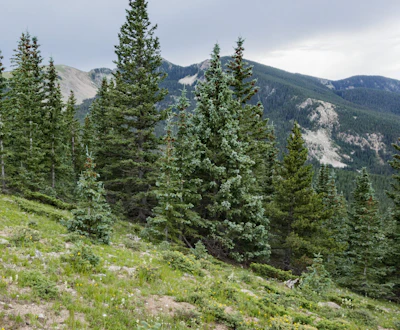 Colorado blue spruce pine This native conifer, known for its bluish needles and conical shape, thrives between 6,000 to 10,000 feet.
 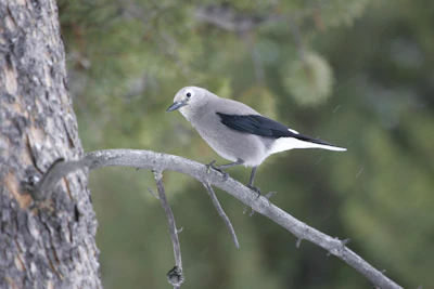 Clark’s nutcracker This gray-and-white bird is responsible for collecting thousands of pine seeds every year and help regenerate forests.
 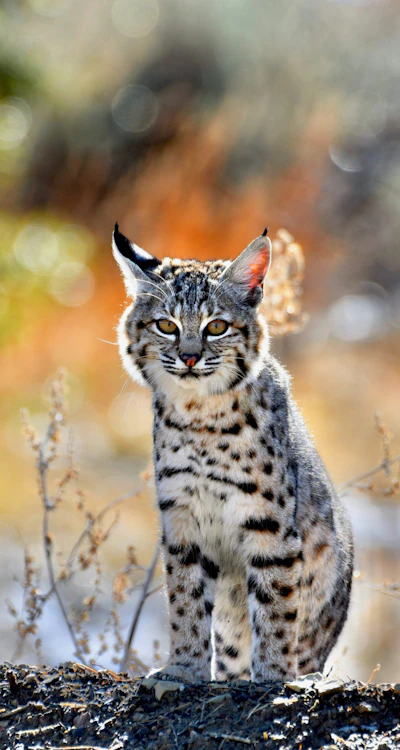 Bobcat This elusive predator, with tufted ears and spotted coats, hunts rabbits, birds, and rodents throughout the forest. While seeing a bobcat is rare, visitors often spot their tracks.
 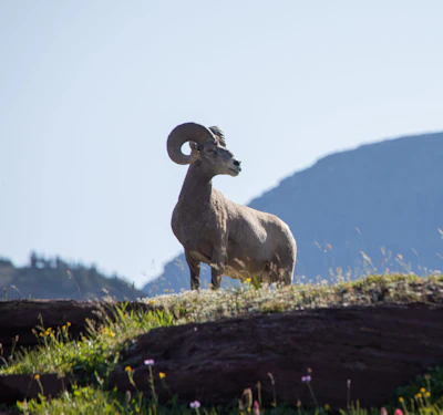 Rocky Mountain bighorn sheep Known for their massive curled horns and climbing skills, this sheep can be found in the high elevation areas.
 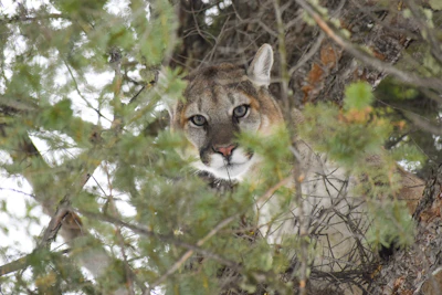 Mountain lion While there’s a healthy population in the forests, its elusive and solitary nature means it is rarely sighted. It primarily hunts deer but will also go after smaller mammals.
 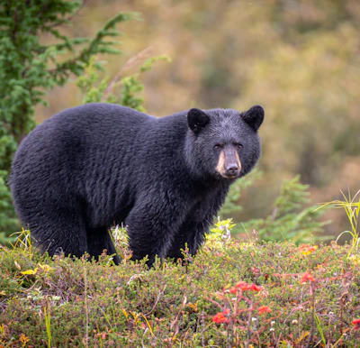 Black bear This medium-sized bear resides in the dense forests and open meadows of the forest, foraging for berries, insects, and small animals.
 Related Impact
The Great American Outdoors Act in Colorado
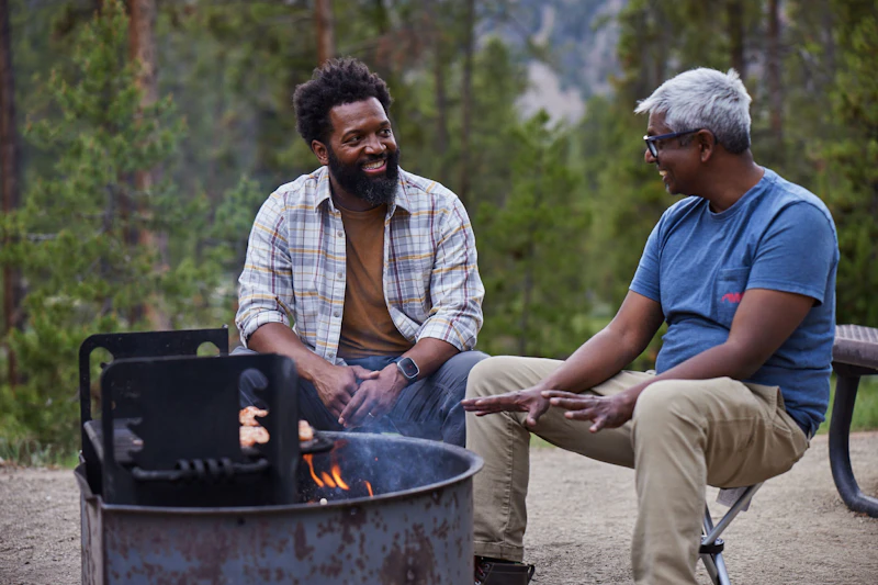
Discover the impact of The Great American Outdoor Act on communities in Colorado with Baratunde Thurston, host of the PBS show America Outdoors.
What’s the Best First-Timer’s Adventure in the Grand Mesa, Uncompahgre, and Gunnison National Forests?
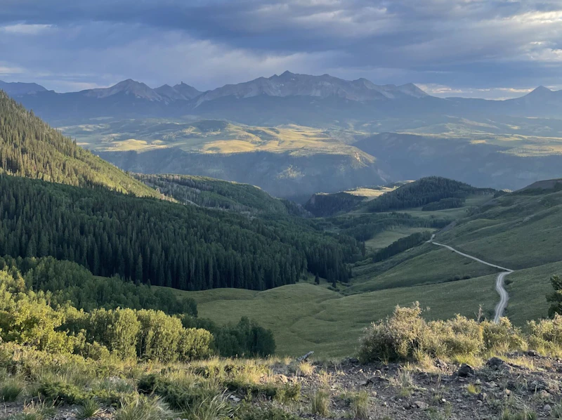
To experience one of the country’s most beautiful drives, take the Million Dollar Highway, or U.S. 550, through Ouray, Silverton, and Telluride. The route crosses multiple alpine passes and features sweeping views of snow-capped peaks, deep canyons, and roadside waterfalls.
Where to Find More Information on the Grand Mesa, Uncompahgre, and Gunnison National Forests
For more information or questions, visit https://www.fs.usda.gov/r02/gmug
Discover how communities, volunteers, and partners are shaping the future of our National Forests and Grasslands.
Erosion and wildfire had left Arizona's historic Highline Trail rutted and unsafe. After five years of work with the Tonto…
Forest restoration near Flagstaff is reducing wildfire risk for local communities and safeguarding the water supply for millions across the…
Colorado's 14ers draw thousands of visitors each year, and the pressure on these fragile alpine landscapes is growing. Here's a…
Visitors of all ages can explore forest trails and sparkling waters, discover wildlife and underwater habitats, and connect with Tahoe’s…
A partnership-driven program connecting youth on Montana’s Flathead Reservation with hands-on conservation work, heritage education, and pathways in natural resource…
Seeing the impact first hand on the Grand Mesa, Uncompaghre and Gunnison National Forests
Seven Years of Reopening Trails After the Eagle Creek Fire
Field Ranger Program Connects Diverse Communities to Forests in Southern California
Anna's family has been planting trees for 50 years. Now she is helping build a sustainable model to meet the…
Nature-based solutions are bringing life back to streams and wetlands in the Colorado River Watershed, securing water for people, wildlife,…
Our Forests Need Us Today.
Your donation powers critical, on-the-ground conservation—from wildfire recovery to watershed restoration—protecting forests for the future.

