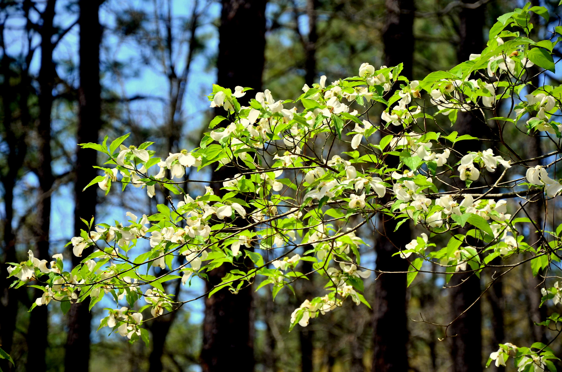
Experience the Kisatchie National Forest, more than 600,000 acres of bayous, bald cypress, and old-growth pine spread across seven parishes in Louisiana.
The southwestern portion of the forest has many ecological types, including longleaf pine savannas, hardwood bottoms, and rolling hills. Its highlights include the Castor Creek Scenic Area, Wild Azalea Seep Area, and Bayou Boeuf Natural Area. The northern section is home to Corney Lake, a 2,300-acre reservoir that has become a very popular fishing and waterfowl hunting destination.
The eastern section is filled with excellent hiking, biking, and hunting, from tracing the scenic Glenn Emery Trail to hunting at the National Catahoula Wildlife Management Preserve. When you visit the western Kisatchie Ranger District, enjoy panoramic views from the sandstone bluffs of the Longleaf Vista Recreation Area.
The most central Winn Ranger District has great horseback riding along Gun Springs Horse Trail, camping in scenic woodland, and native prairies that host unique wildlife. The forest is also home to the Kisatchie Hills Wilderness, home to the most rugged landscapes in the state.
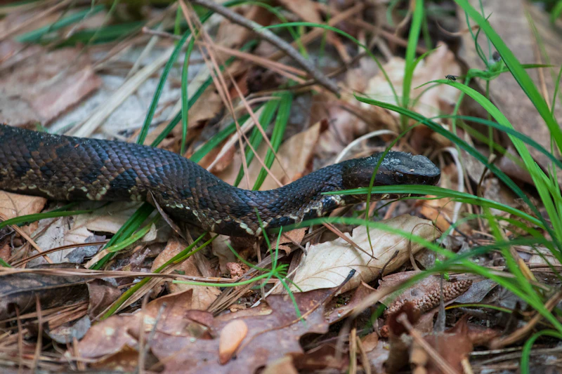 Photo by Maura Boehret
 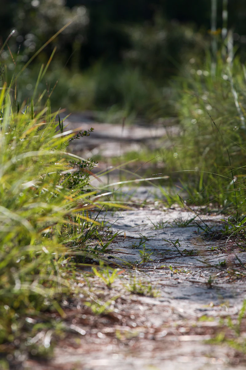 Photo by Maura Boehret
 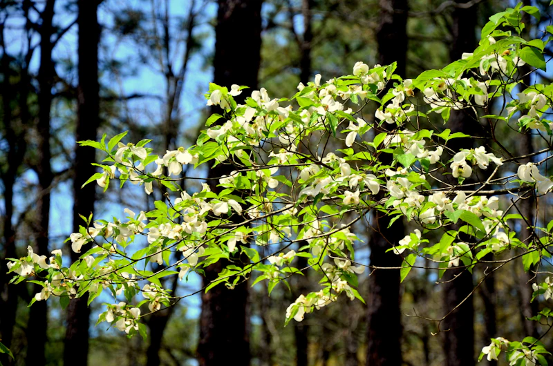 Photo by Ray Foote
 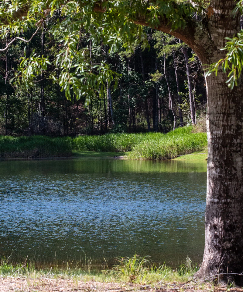 Photo by Maura Boehret
 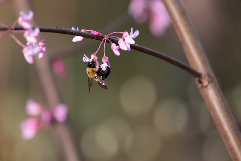 Photo by Maura Boehret
 What is the History of the Kisatchie National Forest?
The name “Kisatchie” comes from the self-referred name of a tribe of Kichai Indians of the Caddoan Confederacy. Along with the Caddo, Choctaw, and Natchez peoples, the Kisatchie lived in this area for centuries.
In the late 1800s, virgin forests—much of it yellow pine—covered 85 percent of Louisiana. European exploration began in the 1700s when French settlers and traders moved into the area, followed later by Spanish and American settlers. Vast longleaf pine forests were heavily harvested for timber and resin and habitat loss.
Recognizing the need for conservation, local citizens and foresters began advocating for federal protection, culminating in the forest being established in 1930.
How to Get to the Kisatchie National Forest
The cities of Alexandria and Natchitoches are the main gateways to different portions of the forest. From Alexandria, visitors can take U.S. Highway 165 south to reach the Calcasieu Ranger District or Louisiana Highway 28 West toward the Kisatchie District. From Natchitoches, Interstate 49 connects directly to Louisiana Highway 6 and Highway 117, which lead into the heart of the forest.
Travelers coming from farther away can access the region via Interstate 20 (from Shreveport or Monroe) or Interstate 10 (from Baton Rouge or Lafayette), both connecting to local routes that lead south or north into the forest.
- Lafayette, Louisiana: 1.5 hours by car
- Lake Charles, Louisiana: 1.5 hours by car
- Baton Rouge, Louisiana: 2 to 2.5 hours by car
- Shreveport, Louisiana: 2.5 to 3 hours by car

This 31-mile trail—the longest in Louisiana—is ideal for hiking, biking, and horseback riding. Take in longleaf pine forests, hardwood bottoms, open meadows, and seasonal wildflowers, including the vibrant azaleas that give the trail its name.
This scenic area features a crystal-clear bayou flowing over smooth sandstone outcrops, ideal for wading, swimming, and photography. Hikers can follow the popular Kisatchie Bayou Trail, which winds through longleaf pine forests and along the bayou’s rocky banks.
Sweeping vistas, wildflower meadows, and ancient pine forests are the backdrop to this 17-mile drive. Visitors can stop at hiking trails, picnic areas, and interpretive sites highlighting the region’s natural and cultural history.
 Oklahoma grass pink Its striking pink blossoms add vibrant color to bogs, wet meadows, and pine savannas come late spring and early summer. Photo by Douglas Goldman (CC BY-SA)
 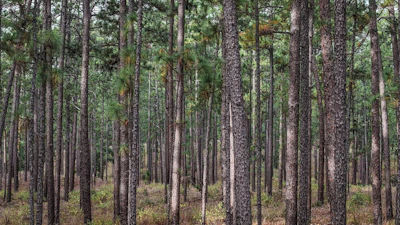 Longleaf pine Known for its tall, straight trunks and long needles, this fire-adapted pine provides critical habitat for endangered species and supports a rich understory.
 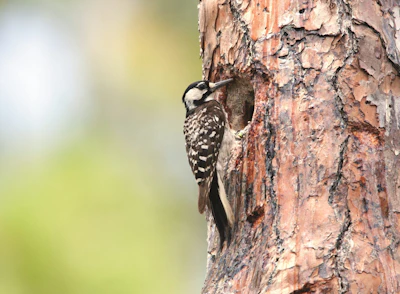 Red-cockaded woodpecker This endangered species, known for its black-and-white striped back and, in its males, a red streak on its head, relies on longleaf pines for habitat.
 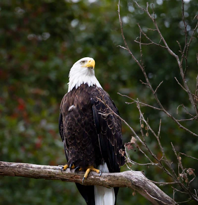 Bald eagle This majestic bird can often be spotted gracefully scanning the water for fish, its primary food source—and on the Forest Service’s Bald Eagle cams, which capture the birds along Kincaid Lake.
 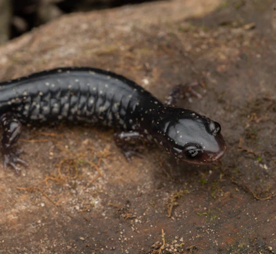 Louisiana slimy salamander Typically dark with subtle markings, this native amphibian thrives in sandstone outcrops, creeks, and leaf-littered forest floors.
 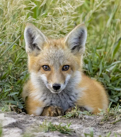 Red fox With a reddish coat, bushy tail, and sharp features, this fox is an opportunistic hunter, feeding on small mammals, birds, insects, and fruits.
 Related Impact
Building Watershed Resiliency in North Texas
The streams and creeks of the LBJ National Grassland flow into the Trinity River Basin, which supplies water for over 6 million people across the Dallas-Fort Worth metropolitan area. At the Basin’s headwaters, the Grassland’s health directly impacts water supply in the region.
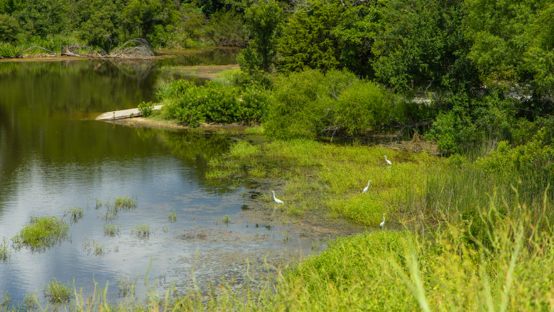
What’s the Best First-Timer’s Adventure in the Kisatchie National Forest
Visitors to the Sugar Cane National Recreation Trail can enjoy hiking or biking 5.6 miles through a very diverse ecosystem, from boggy hardwood bottomland to hillside pine groves to lakeshore views of Upper Caney Lake.
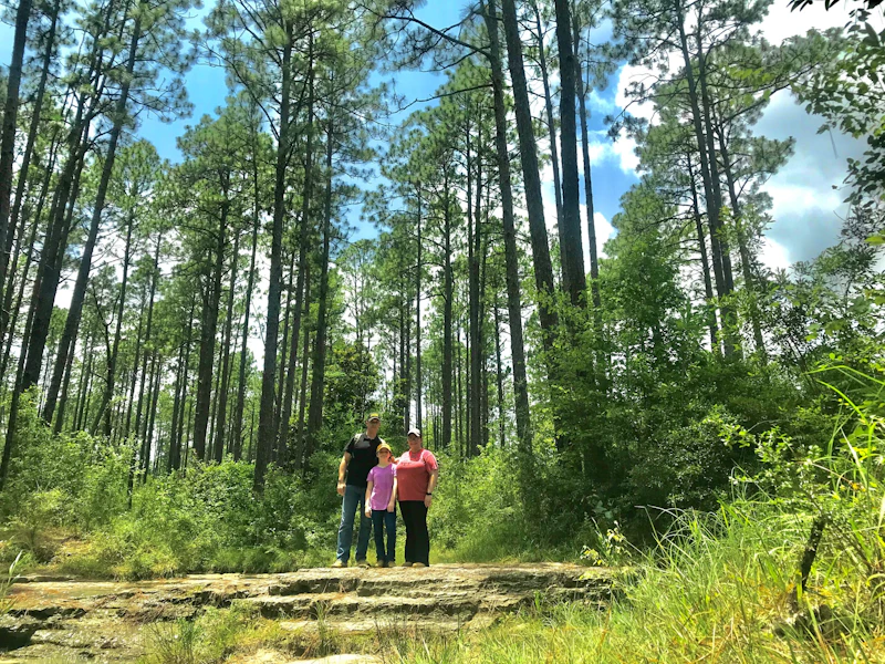
Where to Find More Information on the Kisatchie National Forest
For more information or questions, visit https://www.fs.usda.gov/r08/kisatchie
Discover how communities, volunteers, and partners are shaping the future of our National Forests and Grasslands.
Erosion and wildfire had left Arizona's historic Highline Trail rutted and unsafe. After five years of work with the Tonto…
Forest restoration near Flagstaff is reducing wildfire risk for local communities and safeguarding the water supply for millions across the…
Colorado's 14ers draw thousands of visitors each year, and the pressure on these fragile alpine landscapes is growing. Here's a…
Visitors of all ages can explore forest trails and sparkling waters, discover wildlife and underwater habitats, and connect with Tahoe’s…
A partnership-driven program connecting youth on Montana’s Flathead Reservation with hands-on conservation work, heritage education, and pathways in natural resource…
Seeing the impact first hand on the Grand Mesa, Uncompaghre and Gunnison National Forests
Seven Years of Reopening Trails After the Eagle Creek Fire
Field Ranger Program Connects Diverse Communities to Forests in Southern California
Anna's family has been planting trees for 50 years. Now she is helping build a sustainable model to meet the…
Nature-based solutions are bringing life back to streams and wetlands in the Colorado River Watershed, securing water for people, wildlife,…
Our Forests Need Us Today.
Your donation powers critical, on-the-ground conservation—from wildfire recovery to watershed restoration—protecting forests for the future.

