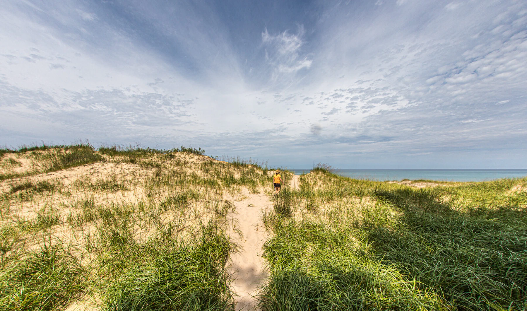
Experience the Huron-Manistee National Forests, which comprise almost a million acres across the northern lower peninsula of Michigan. The Huron National Forest lies primarily in the eastern portion of the state, while the Manistee National Forest is in the west.
The centerpiece of the forest is the Nordhouse Dunes Wilderness, which features dunes that read up to 140 feet high and are estimated to be 3,500 to 4,000 years old. Unlike other dune systems, the Nordhouse Dunes are interspersed with woody vegetation such as juniper, jack pine and hemlock.
The Huron-Manistee has thousands of lakes and four designated Wild and Scenic Rivers: the Pine, Manistee, Au Sable, and Pere Marquette, which offer excellent canoeing and kayaking. Many of the waterways feature riverside camping, making it possible to go on a multiday excursion.
Over 330 miles of trails offer hiking and biking, including portions of the North Country National Scenic Trail. Some 200 miles of this system are shared trails with horses, or cross-country skiers in the winter. The hiking and horse trails are often linear, while the cross-country and interpretive nature trails are usually loops of varied lengths.
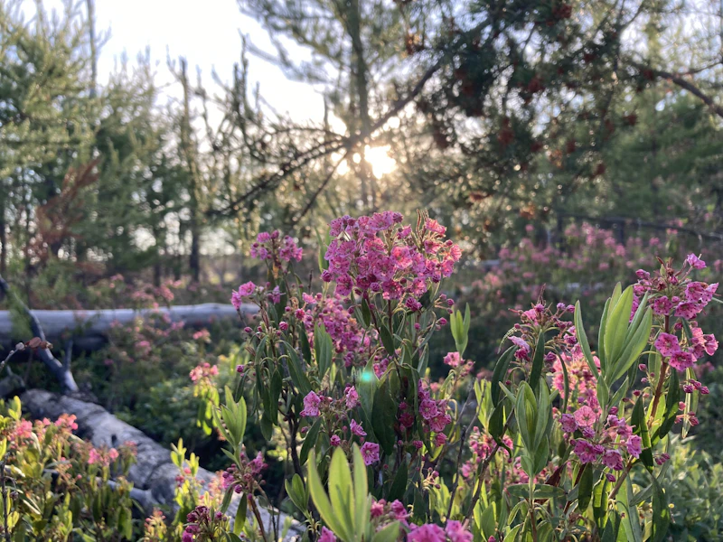 Photo by Kady Winsor
 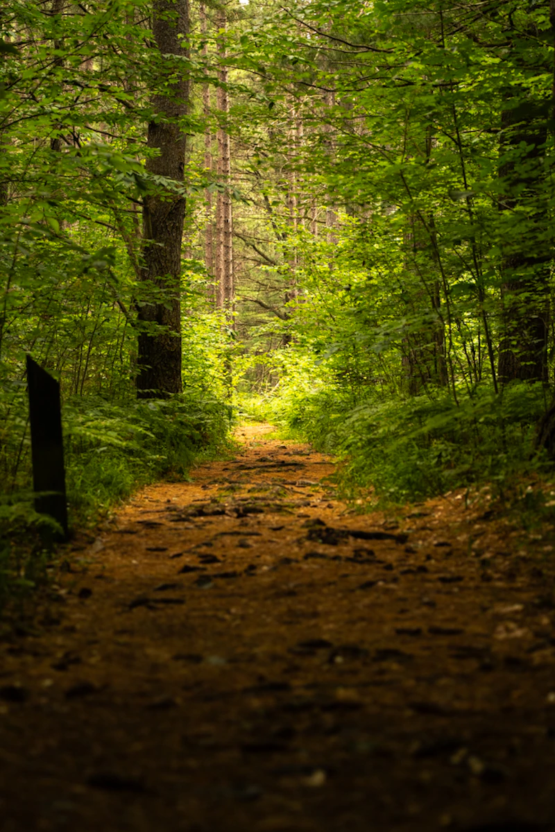 Photo by Justin Buckner
 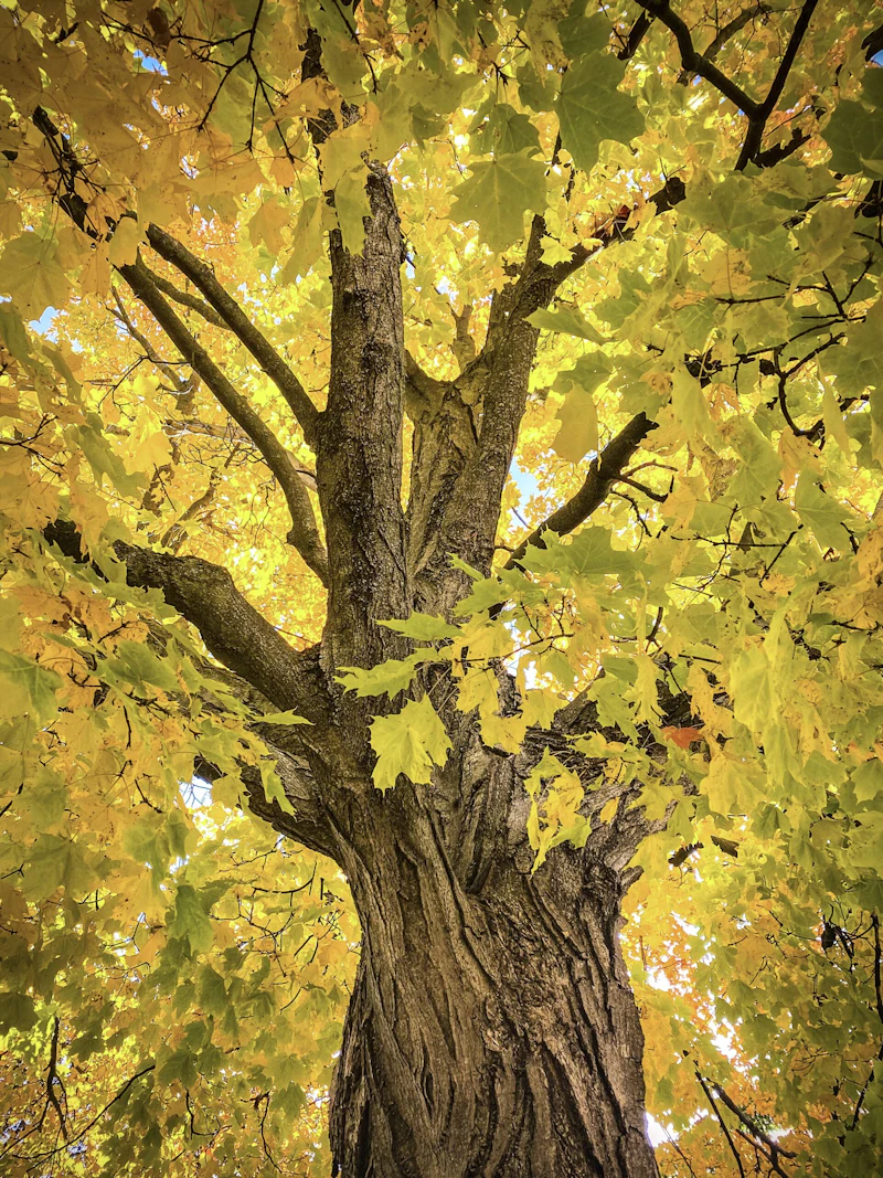 Photo by Jill Yarberry
 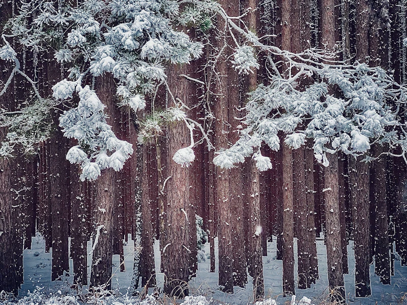 Photo by Tammy Savage
 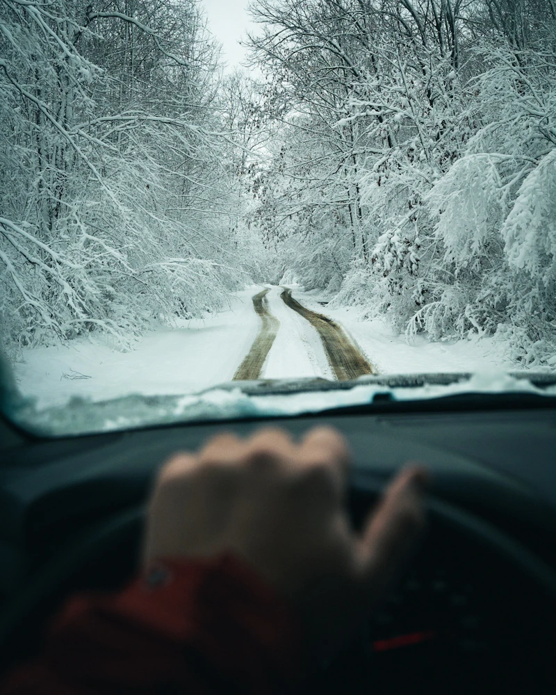 Photo by Colton Evens
 What is the History of the Huron-Manistee National Forests?
The history of these lands extends thousands of years, beginning with Native American tribes such as the Ojibwa, Odawa, and Potawatomi peoples. Archaeological evidence in the form of campsites, burial mounds, and tools exhibit their deep cultural and spiritual connection to the land.
Logging became the dominant industry in the 19th century as white pine and hardwoods were harvested extensively, leading to deforestation, soil erosion, and habitat loss. Farming and small settlements followed, further altering the landscape.
In 1909, the Huron National Forest was established, followed by the creation of the Manistee National Forest in 1938. The two forests were administratively combined in 1945 to streamline management and continue conservation efforts.
How to Get to the Huron-Manistee National Forests
To the Huron National Forest, travelers from the east can use Interstate 75, which runs north-south, connecting cities like Saginaw, Bay City, and Grayling. U.S. Highway 23, which parallels Lake Huron, provides access to forest areas near Oscoda, Au Sable, and Tawas City.
To the Manistee National Forest, U.S. Highway 31 runs north-south along the Lake Michigan shoreline, connecting cities like Manistee, Ludington, and Muskegon. M-55, an east-west route, provides access to inland forest areas, linking Lake Michigan towns with the forest interior. Manistee, Ludington, and Cadillac serve as primary gateway hubs.
- Grand Rapids, Michigan: 1 to 1.5 hours by car
- Lansing, Michigan: 1.5 to 2 hours by car
- Ann Arbor, Michigan: 2.5 to 3 hours by car
- Detroit, Michigan: 3 hours by car
- Chicago, Illinois: 3.5 to 4 hours by car

This wilderness area on the east shore of Lake Michigan is one of the in the country with an extensive lake shore system. There are many small water holes and marshes dotting the landscape and dune grass covers many of the dunes. The beach is wide and sandy, excellent for solitary walks and sunset viewing.
With some 600 miles of groomed snowmobiling trails across both forests, there’s plenty of opportunity for winter adventure. Start with the 45-mile Alcona County Trail, which links up to Iosco and Oscoda County snowmobile trails for a longer excursion.
This 220-mile route, which runs from the town of Empire near Lake Michigan to Lake Huron, is ideal for horseback riders. It follows the Au Sable River for about 50 miles and has four campgrounds located at 25 mile intervals within the National Forests.
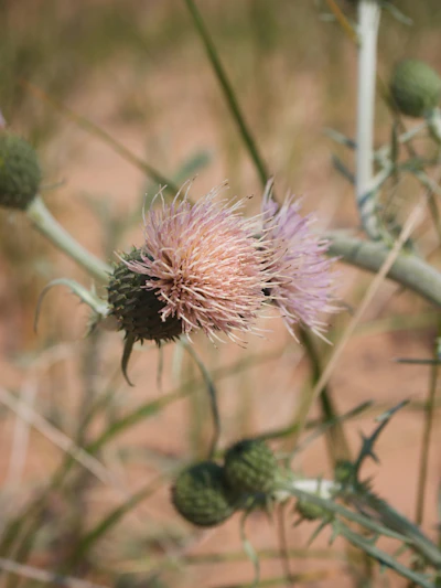 Pitcher’s thistle With silvery leaves and purple flowers, this rare and federally threatened plant found helps stabilize the sandy shorelines and dunes of Huron-Manistee National Forests.
 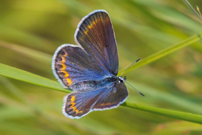 Karner blue butterfly This rare blue-purple butterfly depends on wild lupine, its sole larval host plant, for survival, and can be found in the forest’s oak savannas.
 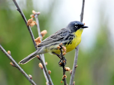 Kirtland’s warbler This songbird with gray-blue back and yellow chest breeds almost exclusively in the jack pine forests of the Huron-Manistee.
 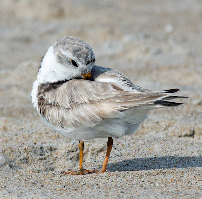 Piping plover This small endangered shorebird, recognized by its white and grey body and black ringed neck, nests on the sandy beaches along Lake Michigan.
 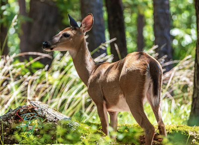 White-tailed deer One of the more common sights in the forest, this deer has a red-brown coat that turns gray in the winter and is active during dawn and dusk.
 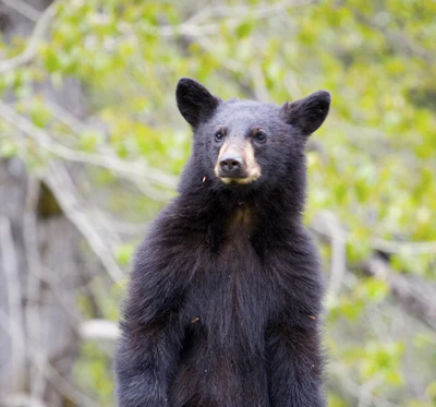 Black bear This more common-than-usual sight inhabits dense hardwoods and mixed conifer forests, feeding on berries, nuts, insects, and small mammals.
 What’s the Best First-Timer’s Adventure in the Huron-Manistee National Forests
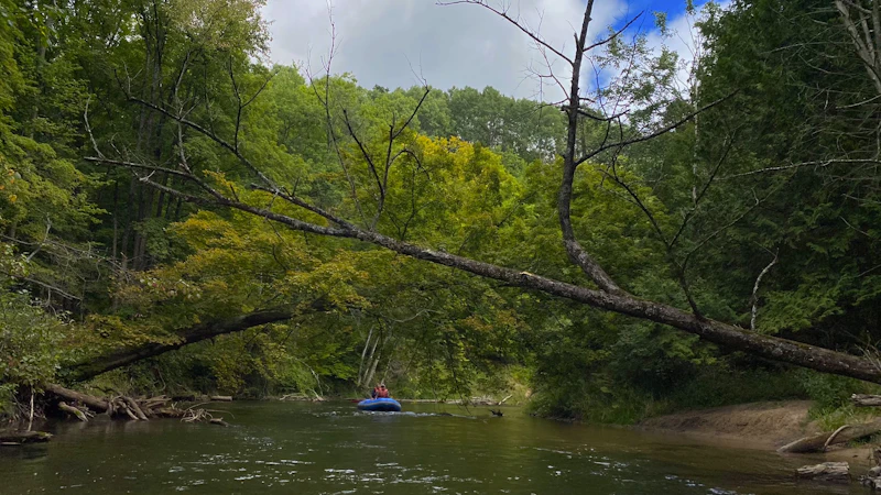
With over 1,800 miles of rivers, there’s nothing like exploring the Huron-Manistee National Forests by water, especially via canoe or kayak along one of its Wild and Scenic Rivers. Head out on the Au Sable River and explore an unrestricted 65-mile section of the river from Grayling to Alcona Dam for great scenery and wildlife-spotting opportunities.
Where to Find More Information on the Huron-Manistee National Forests
For more information or questions, visit https://www.fs.usda.gov/r09/huron-manistee
Discover how communities, volunteers, and partners are shaping the future of our National Forests and Grasslands.
Erosion and wildfire had left Arizona's historic Highline Trail rutted and unsafe. After five years of work with the Tonto…
Forest restoration near Flagstaff is reducing wildfire risk for local communities and safeguarding the water supply for millions across the…
Colorado's 14ers draw thousands of visitors each year, and the pressure on these fragile alpine landscapes is growing. Here's a…
Visitors of all ages can explore forest trails and sparkling waters, discover wildlife and underwater habitats, and connect with Tahoe’s…
A partnership-driven program connecting youth on Montana’s Flathead Reservation with hands-on conservation work, heritage education, and pathways in natural resource…
Seeing the impact first hand on the Grand Mesa, Uncompaghre and Gunnison National Forests
Seven Years of Reopening Trails After the Eagle Creek Fire
Field Ranger Program Connects Diverse Communities to Forests in Southern California
Anna's family has been planting trees for 50 years. Now she is helping build a sustainable model to meet the…
Nature-based solutions are bringing life back to streams and wetlands in the Colorado River Watershed, securing water for people, wildlife,…
Our Forests Need Us Today.
Your donation powers critical, on-the-ground conservation—from wildfire recovery to watershed restoration—protecting forests for the future.

