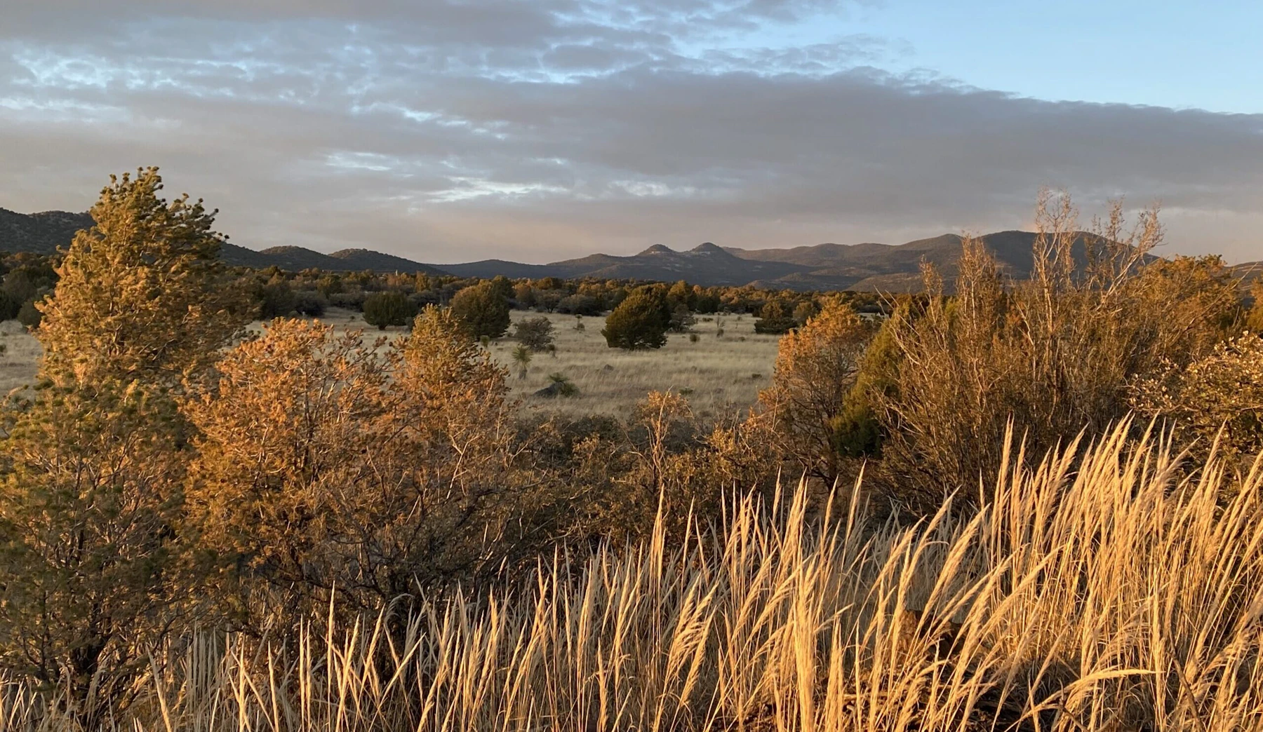
Uncover the Gila National Forest, a 3.3-million-acre collection of rugged mountains, deep canyons, meadows, and semi-desert country in New Mexico. The crown jewels of the Gila are its Wilderness Areas, with more than any other National Forest in the Southwest, including its namesake Gila Wilderness, the first to be designated as such. The Aldo Leopold Wilderness and the Blue Range Wilderness round out the expanse.
The Gila National Forest is most known for its diversity of landscapes, home to four of the six life zones, elevations that range from 4,200 to 10,900 feet, and volcanic activity. A number of hot springs occur within its boundaries, varying widely in temperature and size. The springs usually occur in close proximity to streams and rivers.
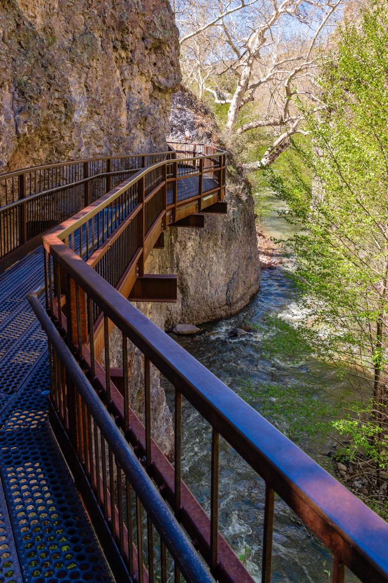
With more than 1,600 miles of trails, including almost 250 miles of the Continental Divide National Scenic Trail (CDT), as well as the Catwalk National Recreation Trail, there are plenty of hiking, biking, and horseback riding adventures in store. Another way to experience the Gila is on a long drive via two scenic drives: the Geronimo National Scenic Byway, which passes two of the largest lakes in the state, and the Trail of the Mountain Spirits Scenic Byway, which crosses the CDT at multiple points.
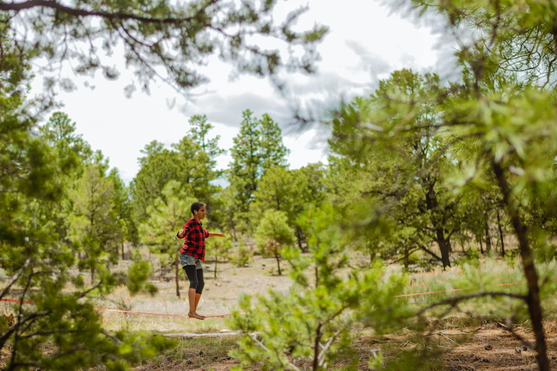 Photo by Abigail Rodriguez
 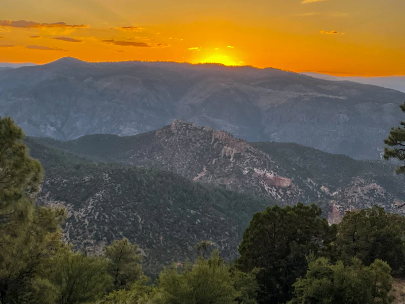 Photo by Emily Jax
 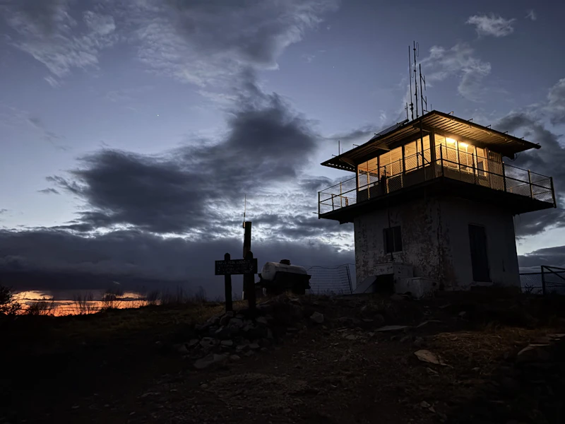 Photo by Michael Bass
 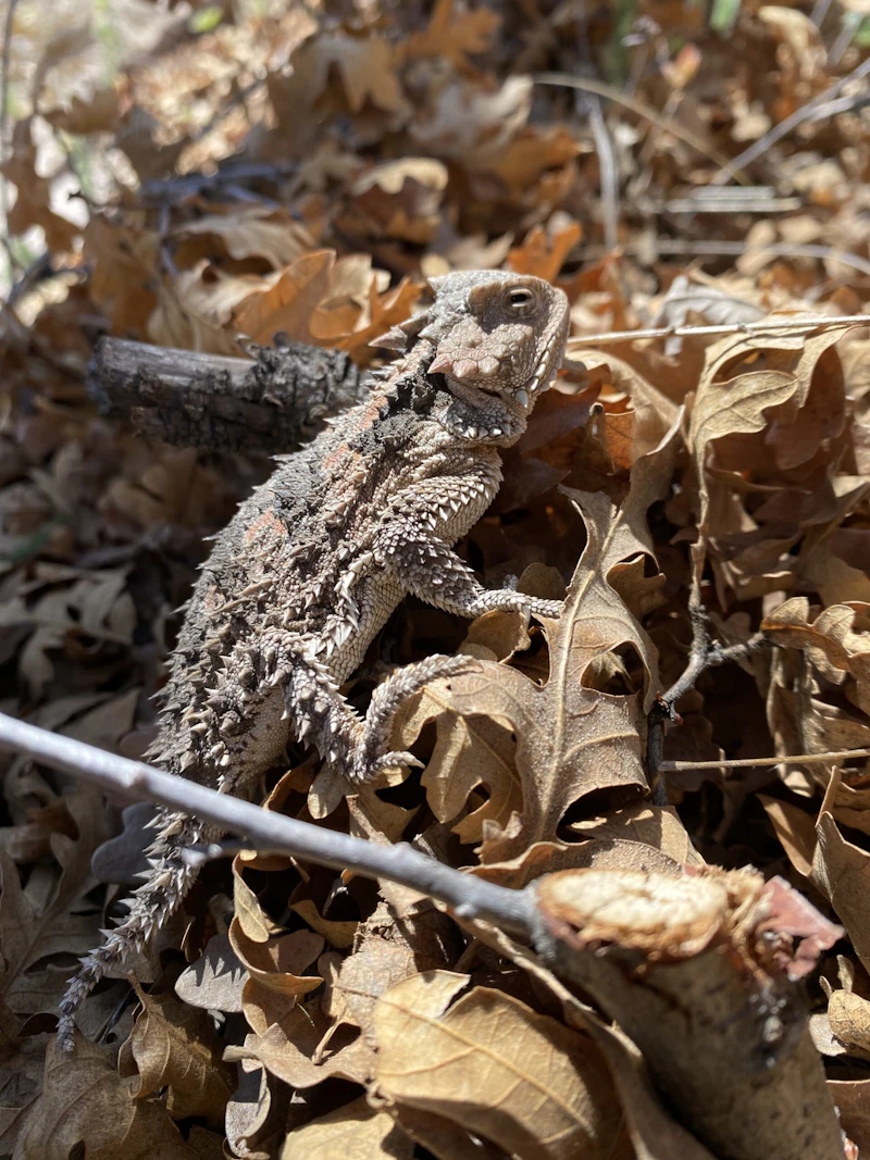 Horny toad. Photo by Kurtis Hulett
 What is the History of the Gila National Forest?
Popular theory says that the word Gila was derived from a Spanish contraction of “hah-quah-sa-eel,” a Yuma Indian word meaning “running water which is salty.” The naming of the Gila National Forest is indicative of its interesting history and beauty.
The earliest known inhabitants were the Mogollon people, who lived in the area from roughly 200 to 1400 CE. They built intricate cliff dwellings, which visitors can experience today via five different trails. After the Mogollon culture declined, the Apache people—particularly the Chiricahua and Mimbreño Apache bands—occupied the region. The famed Apache leader, Geronimo, was born near the Gila River, and resisted Spanish, Mexican, and later American incursions into the late 19th century.
In the 1800s, mining, ranching, and westward expansion shaped the area. In 1905, the Gila Forest Reserve was established, and in 1907 it officially became the Gila National Forest. In 1924, conservationist Aldo Leopold helped shepherd through the Gila Wilderness as the first in the United States.
How to Get to the Gila National Forest
Located in southwestern New Mexico near the border with Arizona, the Gila National Forest is the farthest from the state’s largest cities. From the north, Highway 25 connects hubs like Albuquerque and Santa Fe to the primary gateway town of Silver City, which is near the Gila Cliff Dwellings National Monument.
Visitors coming from the east, from Arizona, often travel through the town of Truth or Consequences via Interstate 25 and Highway 152, which provides scenic access through the Black Range.
- Albuquerque, New Mexico: 4.5 hours by car
- Tuscon, Arizona: 7 hours by car
- Phoenix, Arizona: 7 to 8 hours by car

The Gila Cliff Dwellings is a trailhead for five different trails. The area offers a glimpse of the homes and lives of the agricultural Mogollon, or Southern Ancestral Pueblo, people who lived there from the late 1270s through the early 1300s. The surroundings today probably look very much like they did when the cliff dwellings were inhabited. Archaeologists have identified 46 rooms at the Gila Cliff Dwellings.
A wide array of bird fauna is found on the Gila National Forest, and this viewing area off of Highway 180 in an easy access point. Approximately 337 bird species have been sighted in the forest. The numerous species of birds is related to the diverse ecological habitat found on the Gila and its location on a migratory flight path.
This area includes the man-made trout lake with two ADA fishing piers, two boat ramps, seven developed campgrounds, one primitive campground, and links to more than seven miles of hiking trails. The lake is nestled between piñon-juniper woodlands and pine forests at an elevation of 7860 feet.
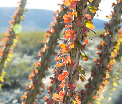 Ocotillo While it doesn’t look like much most of the time, this desert plant’s spiny stems can reach up to 20 feet tall. It turns green after rains and in the spring produces red and orange flowers.
 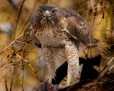 Red-tailed hawk With broad wings and reddish tail, this skilled hunter feeds on small mammals, reptiles and other birds and often nest in pine trees or rocky outcroppings.
 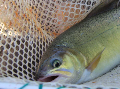 Gila trout Many native fish are also found in the streams on the Gila, several of these, such as the Gila Trout, are considered threatened or endangered. Recovery efforts are underway to help establish fishable populations of the Gila Trout.
 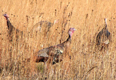 Wild turkey The Gila provides ideal conditions for both the Merriam’s subspecies, native to the mountainous Southwest, and Rio Grande turkeys in lower elevations.
 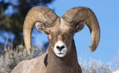 Bighorn sheep Known for its massive curled horns and climbing skills, this sheep can be found in the high elevation areas of the three mountain ranges.
 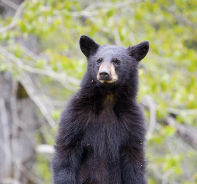 Black bear This medium-sized bear resides in the dense forests and open meadows of the forest, foraging for berries, insects, and small animals.
 What’s the Best First-Timer’s Adventure in the Gila National Forest?
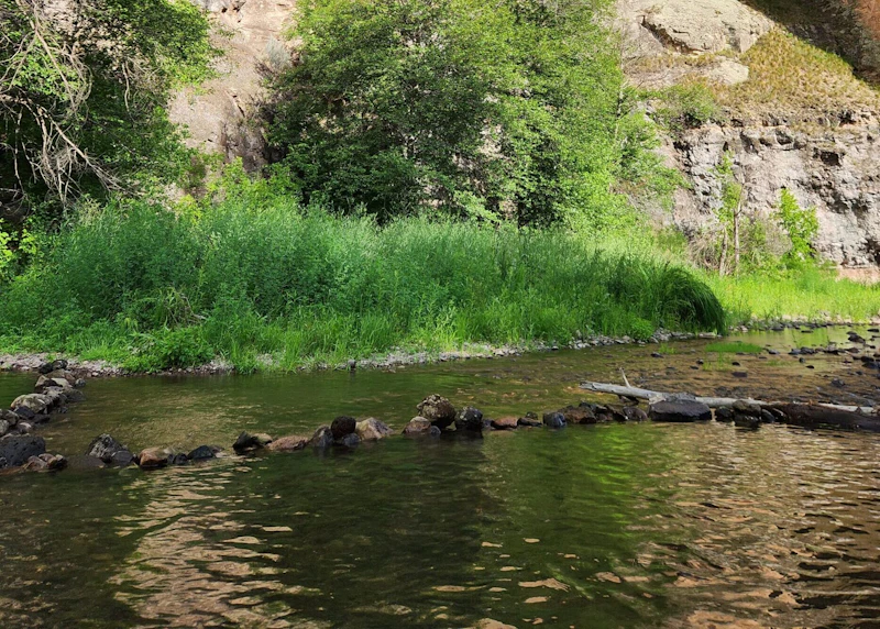
Have a soak in Lightfeather Hot Spring, a 0.75-mile from the Gila Visitor Center along Trail 157, the Middle Fork Trail. The rock-lined pools are found in the Middle Fork River in a steep canyon and offer a scenic place to relax in the Gila National Forest.
Where to Find More Information on the Gila National Forest
For more information or questions, visit https://www.fs.usda.gov/r03/gila
Discover how communities, volunteers, and partners are shaping the future of our National Forests and Grasslands.
Erosion and wildfire had left Arizona's historic Highline Trail rutted and unsafe. After five years of work with the Tonto…
Forest restoration near Flagstaff is reducing wildfire risk for local communities and safeguarding the water supply for millions across the…
Colorado's 14ers draw thousands of visitors each year, and the pressure on these fragile alpine landscapes is growing. Here's a…
Visitors of all ages can explore forest trails and sparkling waters, discover wildlife and underwater habitats, and connect with Tahoe’s…
A partnership-driven program connecting youth on Montana’s Flathead Reservation with hands-on conservation work, heritage education, and pathways in natural resource…
Seeing the impact first hand on the Grand Mesa, Uncompaghre and Gunnison National Forests
Seven Years of Reopening Trails After the Eagle Creek Fire
Field Ranger Program Connects Diverse Communities to Forests in Southern California
Anna's family has been planting trees for 50 years. Now she is helping build a sustainable model to meet the…
Nature-based solutions are bringing life back to streams and wetlands in the Colorado River Watershed, securing water for people, wildlife,…
Our Forests Need Us Today.
Your donation powers critical, on-the-ground conservation—from wildfire recovery to watershed restoration—protecting forests for the future.

