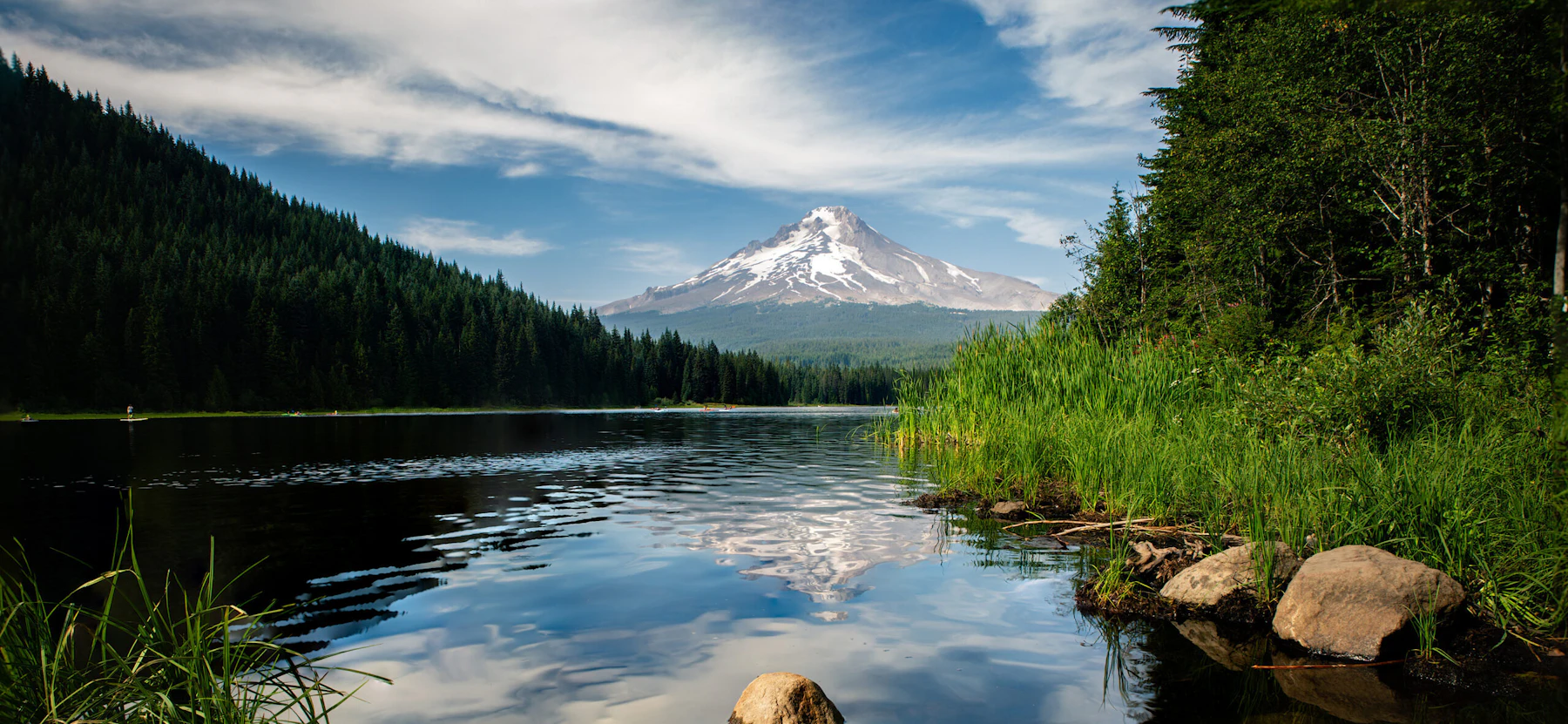
Experience the Mt. Hood National Forest, 1.1 million acres that extends from the Columbia River Gorge across more than sixty miles of forested mountains, lakes, and streams that meet Oregon’s tallest mountain. From Mt. Hood’s 11,249-foot summit, the forest slopes down in all directions into varied and unique landscapes.
The northern side of the mountain borders the Columbia Gorge National Scenic Area, the western slopes are thick with coniferous trees and lush undergrowth, and the eastern side of the mountain is noticeably drier as you descend into central Oregon.
Glaciers cover more than five square miles near the top of the mountain and are estimated to contain more than 300 million cubic meters of snow and ice, although historic photos show the rapid loss of these glaciers that has occurred over the last century. Streams flowing down the mountain collect into larger rivers, which in turn provide one-third of the state’s drinking and agricultural irrigation water.
The forest contains 311,448 acres of designated Wilderness, making up almost one-third of the total area. The largest is the Mt. Hood Wilderness, which includes the mountain’s peak and upper slopes. Others include Badger Creek, Salmon-Huckleberry, Clackamas, Lower White River, Roaring River, Hatfield, and Bull-of-the-Woods. While not a Wilderness, the Olallie Scenic Area is a less developed lake basin that provides a primitive recreational experience.
The Mt. Hood National Forest has around 1,000 miles of trails for hiking, biking, and horseback riding, and more than 60 campgrounds for more in-depth adventures. Five commercial ski areas operate on the mountain’s slopes, and there are also less-developed areas for cross-country skiing, sledding, and snowmobiling. More than 150 lakes and 200 miles of Wild and Scenic Rivers offer endless fishing and water activities.
Climbing Mt. Hood is a challenging adventure for seasoned mountaineers, but for those with the experience and the equipment, the views from the top of Oregon are unmatched.
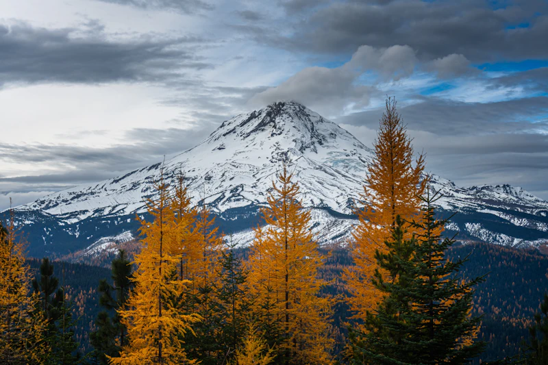 Golden larches stand Mt. Hood. Photo by Carlos Miguel
 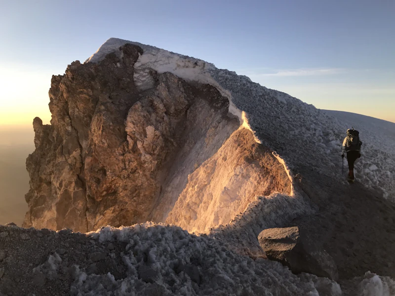 Nearing the summit of Mt. Hood. Photo by Josh Lawrence
 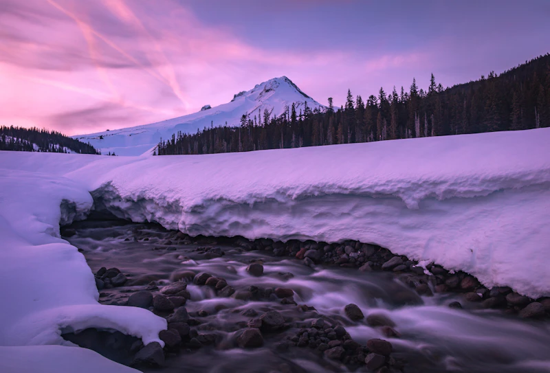 Photo by Dan Lawler
 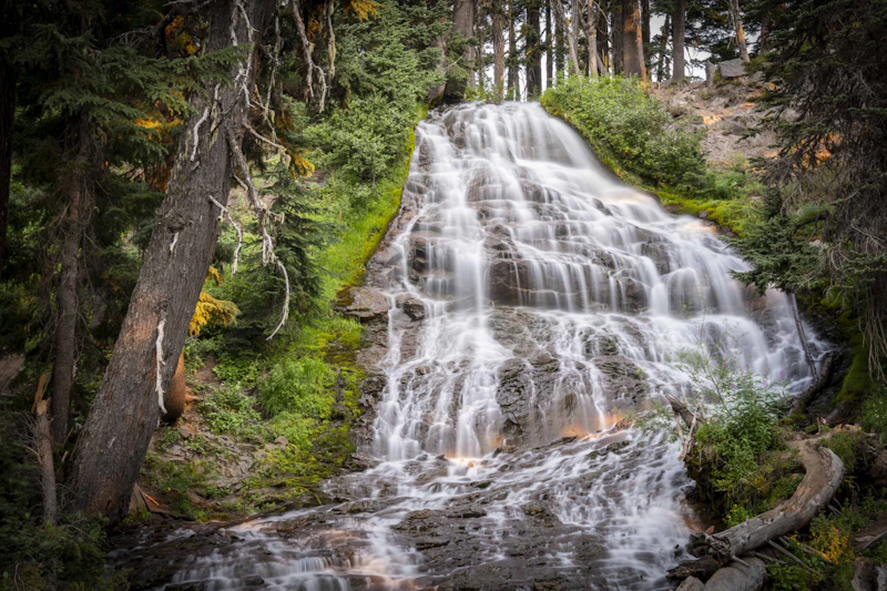 Photo by Katarzyna Anoszczenko
 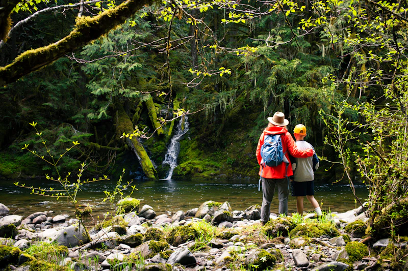 Salmon River Trail. Photo by Jon Crays
 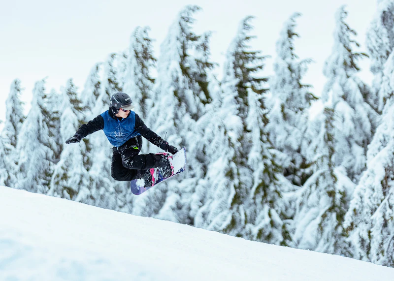 Photo by Jaden Howlett
 What is the History of the Mt. Hood National Forest?
The name Wy’east is often described as the Native American name for Mt. Hood, although there is little evidence to understand exactly which tribe or group of tribes used this term. Many different Indigenous cultures lived around the mountain or nearby, and it probably had various names in multiple different languages. The current name, Mt. Hood, was coined by British explorers in 1792 who named the mountain after Samuel Hood, an Admiral in the Royal Navy.
What is now the Mt. Hood National Forest was once inhabited by the Multnomah, Chinook, Wasco, Tenino, and Molalla peoples, among others. Trade routes connected tribes from the mountain’s western side with those who lived farther inland. Today, the Warm Springs Indian Reservation borders the eastern side of Mt. Hood National Forest.
As with many other National Forests in Oregon, Mt. Hood was originally part of the Cascade National Forest, designated in 1908. Then in 1911 and again in 1924, the Forest Service divided the forest and readjusted the boundaries, leading to what we know today as the Mt. Hood National Forest.
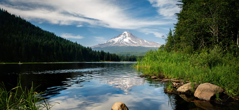
How to Get to the Mt. Hood National Forest
From Portland, U.S. Highway 26, or the Mount Hood Highway connects the gateway towns of Sandy, Welches, and Government Camp to the forest, passing attractions such as Trillium Lake, Timberline Lodge, and the Mount Hood Meadows Ski Area.
Visitors from the Columbia River Gorge area can access the forest via Oregon Highway 35, which connects to Highway 26 near Government Camp. This route passes through the picturesque Hood River Valley. From central or southern Oregon, Highway 97 connects with Highway 26 near Madras, offering a scenic approach from the high desert.
- Seattle, Washington: 1 to 1.5 hours by car

Built in 1937 by the Works Progress Administration, this lodge is a National Historic Landmark, known for its hand-crafted architecture and rustic charm. Set at 6,000 feet on Mount Hood’s southern slope, it offers breathtaking views, year-round skiing, and access to the Pacific Crest Trail.
This 63-acre lake in the shadow of Mt. Hood is one of the most popular stops in the National Forest, and for good reason. It has a scenic campground, a small boat ramp, an accessible fishing pier, and a two-mile trail that encircles the lake.
This is Oregon’s premier ski area, set on the southeastern slopes of Mount Hood. The resort features over 2,100 acres of diverse terrain, from gentle groomed runs for beginners to challenging bowls and tree-lined trails for experts.
 Monkeyflower With tubular blooms that range yellow, orange, or red, this vibrant wildflower is an important pollinator and adds color to meadows in spring and summer.
 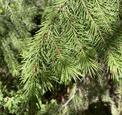 Douglas fir Towering up to 250 feet tall, this evergreen dominates the forest canopy, and has distinctive cone bracts that resemble a mouse’s tail.
 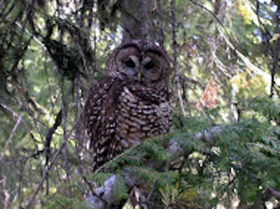 Northern spotted owl This threatened species, which thrives in old-growth coniferous forests, has been making a slow return thanks to conservation efforts.
 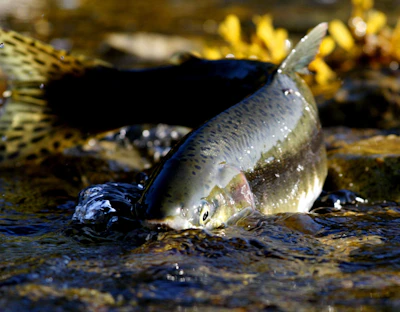 Chinook salmon This species is anadromous, migrating from the Pacific Ocean upstream to spawn in freshwater habitats of the Clackamas, Sandy, and Hood Rivers.
 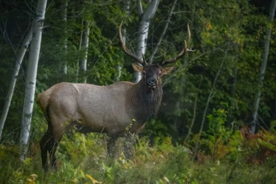 Elk This majestic animal is found grazing in high mountain valleys in the summer, migrating to lower elevations in the winter, and making bugling calls during fall’s rutting season.
 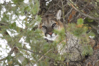 Mountain lion Inhabiting dense forests, rugged slopes, and remote valleys, this big feline primarily preys on mule deer and its subspecies.
 Related Impact
Restoring the Columbia River Gorge National Scenic Area
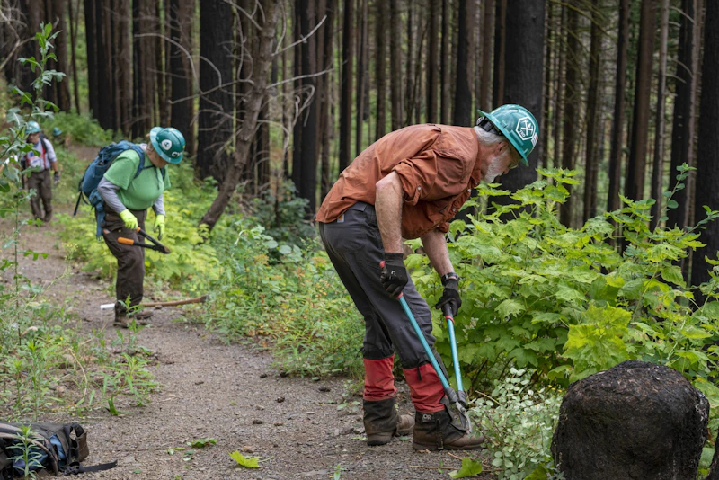
Working hand-in-hand with the community and our partners, less than a decade after the devastating Eagle Creek Fire, nearly every mile of trail that was damaged has reopened.
What’s the Best First-Timer’s Adventure in the Mt. Hood National Forest
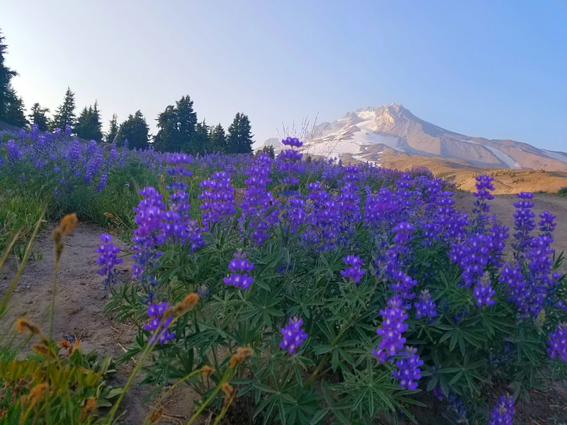
For the ultimate Mt. Hood experience, hike the Timberline Trail. This 40-mile route, considered challenging, circles Mt. Hood at or near tree line. It packs in waterfalls, wildflower meadows, beautiful forest, and stunning alpine vistas. Shorter sections are accessible for day hikes, including the scenic Paradise Park area.
Where to Find More Information on the Mt. Hood National Forest
For more information or questions, visit https://www.fs.usda.gov/r06/mthood.
Discover how communities, volunteers, and partners are shaping the future of our National Forests and Grasslands.
Erosion and wildfire had left Arizona's historic Highline Trail rutted and unsafe. After five years of work with the Tonto…
Forest restoration near Flagstaff is reducing wildfire risk for local communities and safeguarding the water supply for millions across the…
Colorado's 14ers draw thousands of visitors each year, and the pressure on these fragile alpine landscapes is growing. Here's a…
Visitors of all ages can explore forest trails and sparkling waters, discover wildlife and underwater habitats, and connect with Tahoe’s…
A partnership-driven program connecting youth on Montana’s Flathead Reservation with hands-on conservation work, heritage education, and pathways in natural resource…
Seeing the impact first hand on the Grand Mesa, Uncompaghre and Gunnison National Forests
Seven Years of Reopening Trails After the Eagle Creek Fire
Field Ranger Program Connects Diverse Communities to Forests in Southern California
Anna's family has been planting trees for 50 years. Now she is helping build a sustainable model to meet the…
Nature-based solutions are bringing life back to streams and wetlands in the Colorado River Watershed, securing water for people, wildlife,…
Our Forests Need Us Today.
Your donation powers critical, on-the-ground conservation—from wildfire recovery to watershed restoration—protecting forests for the future.

