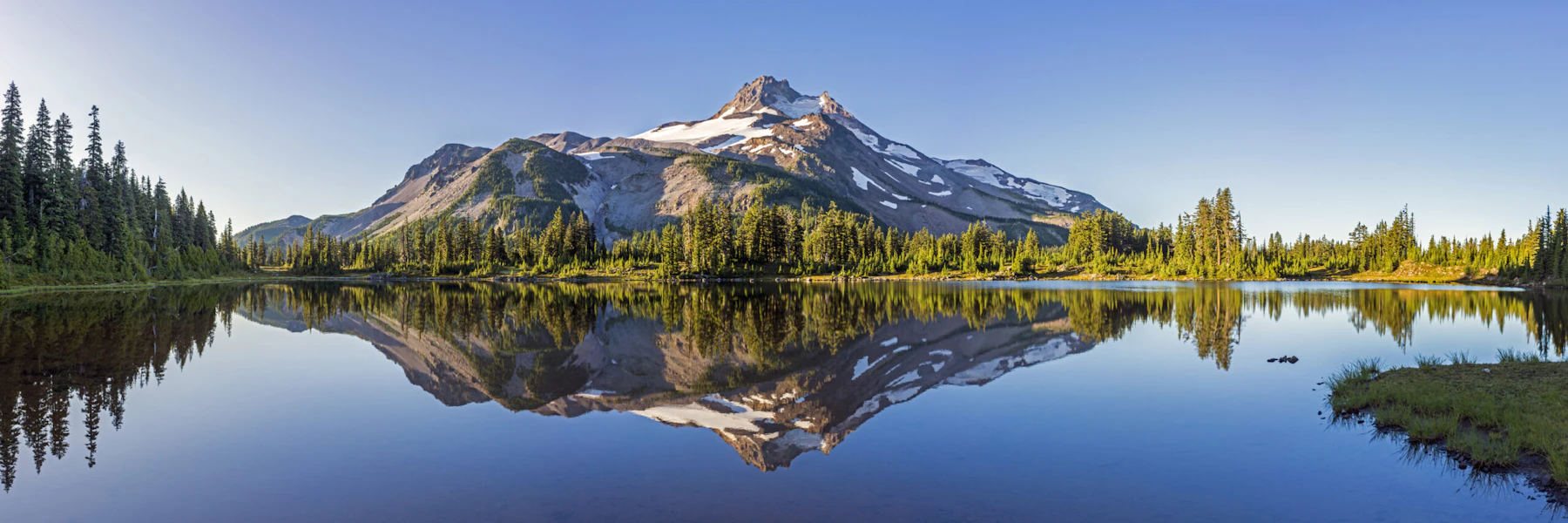
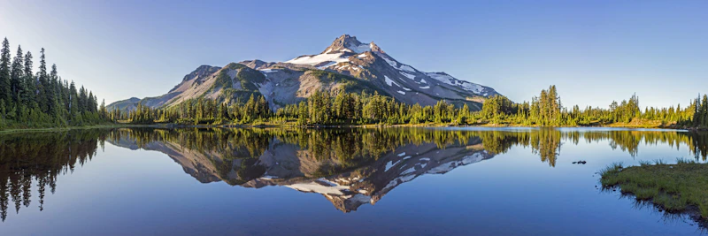
Explore the Willamette National Forest, more than 1.6 million acres across the dramatic western slopes of the Cascade Mountains in Oregon. From volcanic peaks to narrow canyons and immense waterfalls, the Willamette stretches 110 miles along the range and encompasses elevations from 1,000 to over 10,000 feet.
At 10,495 feet above sea level, Mt. Jefferson is Oregon’s second-highest peak and the tallest point within the forest. Six other major Cascade peaks can also be found in the Willamette, including Three Fingered Jack, Mt. Washington, Three Sisters, and Diamond Peak.
Snow covers these high peaks throughout most of the year, and the annual spring snowmelt feeds the headwaters of the McKenzie, Santiam, and Willamette Rivers. These rivers are some of the cleanest in the United States and provide drinking water for many of Oregon’s largest cities.
Not only are they a crucial resource, but a source of recreation. More than 1,500 miles of rivers and streams and 375 lakes, including many beautiful alpine lakes at elevations above 4,000 feet, offer fishing and swimming.
There are eight designated Wilderness Areas in the Willamette National Forest, covering one-fifth of its total area. Most encompass the major peaks of the Cascades and are popular with backpackers and mountain climbers, but others protect pristine lakes and pockets of old-growth forest at lower elevations that are easier to explore.
More than 70 developed campgrounds are spread across the forest’s four ranger districts, along with eight historic cabins available for rent. In addition to sections of the Pacific Coast Trail, the Willamette contains almost 1,700 miles of trails for hikers, equestrians, mountain bikers, and OHV riders. In the winter, many of these trails are groomed for cross-country skiing and snowmobiling.
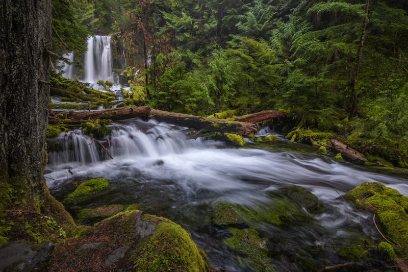 Photo by Sandy Wilson
 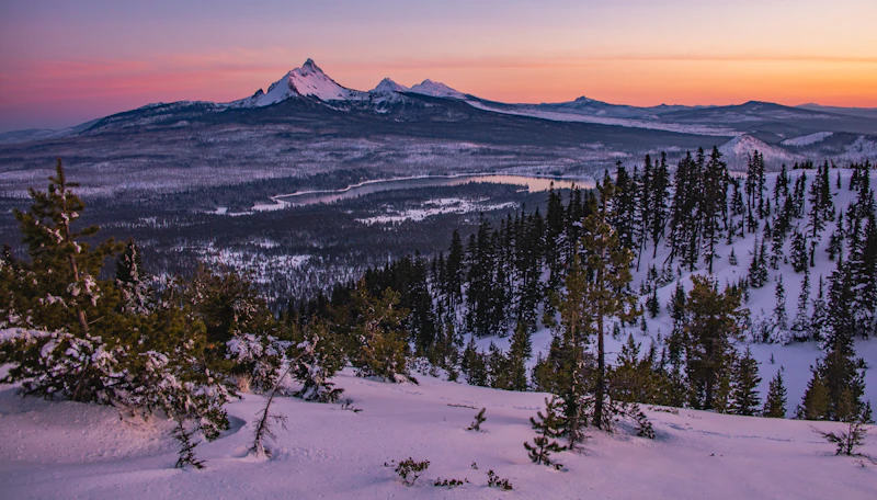 Photo by Dan Lawler
 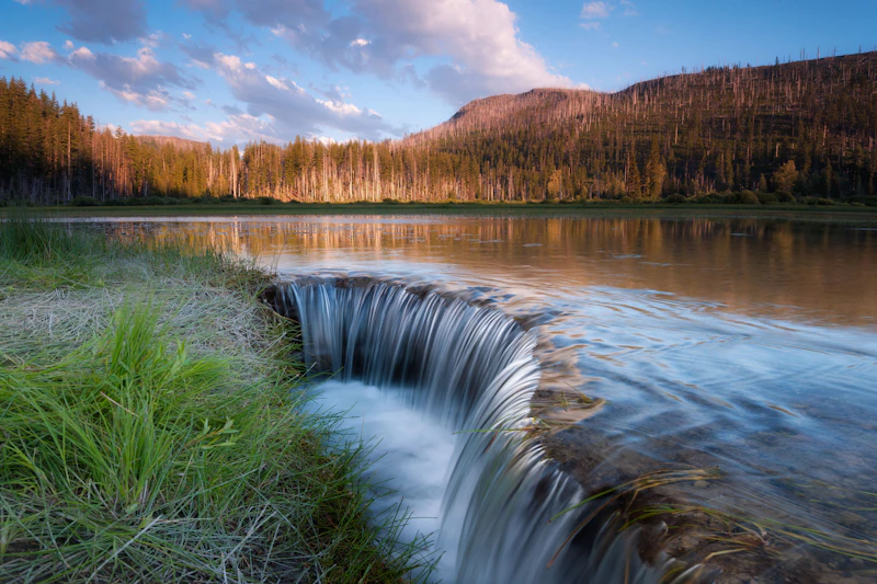 Photo by Andrew Kumler
 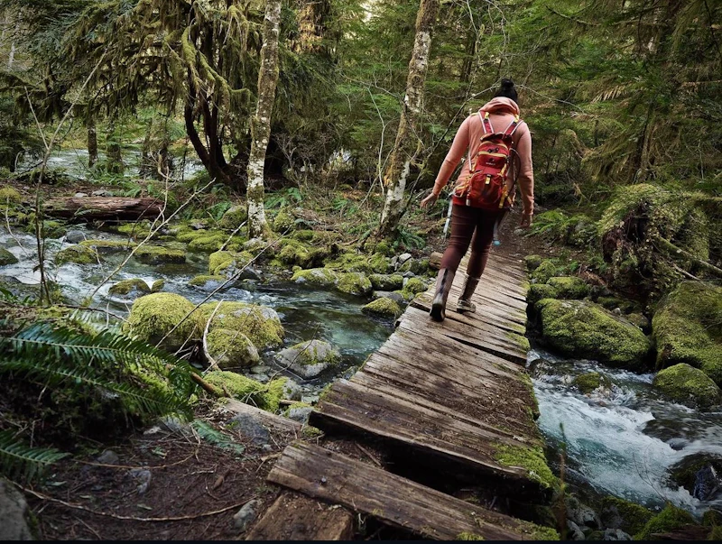 Blue Opal Wilderness. Photo by Porsche Vann
 What is the History of the Willamette National Forest?
The landscape of the Willamette National Forest includes the traditional homelands of the Kalapuya, Yoncalla, Molalla, Cayuse, Umatilla, and Walla Walla, among many others. These Indigenous peoples are now part of three federally recognized tribes: The Confederated Tribes of the Grand Ronde, The Confederated Tribes of Siletz Indians, and The Confederated Tribes of the Umatilla Indian Reservation.
The forest was originally part of the Cascade Forest Reserve, created in 1893 by a proclamation from President Grover Cleveland. When the Forest Service was established, the Cascade Forest Reserve was divided up into four different National Forests. Further administrative changes occurred in 1933, when the Cascade National Forest and the Santiam National Forest were combined into what we know today as the Willamette National Forest.
How to Get to the Willamette National Forest
From the west, Interstate 5 is the main route, connecting the gateway cities of Eugene and Springfield to the Willamette National Forest. From Eugene, U.S. Highway 126 heads east into the forest, following the McKenzie River corridor.
From the north, Interstate 5 again provides access, with exits near Salem or Stayton. From these towns, travelers can use Oregon Highway 22 or Oregon Highway 126 to reach the forest. From the east, U.S. Highway 20 runs across central Oregon and connects to the forest near the entry point of Santiam Pass.
- Eugene, Oregon: 1 to 1.5 hours by car
- Bend, Oregon: 1 to 1.5 hours by car
- Salem, Oregon: 2 to 2.5 hours by car
- Portland, Oregon: 3 to 3.5 hours by car

One of five designated National Recreation Trails in the forest, this five-mile roundtrip route traces across hardened lava flows from ancient eruptions, providing dramatic views of black basalt, lava tubes, and sparse high-desert vegetation. The trail is moderately challenging, with uneven terrain and occasional loose rocks.
This 65-mile trail system features Class I, III, and some Class IV trails in a dense Douglas fir and huckleberry forest. From old logging roads to tight single-track riding, the trails are open year-round and require an Oregon OHV permit.
This four-person rental atop 5,300-foot Warner Ridge is a challenging but rewarding winter destination. A replica of an old cupola-style lookout, the cabin is at the top of a 40-foot tower surrounded by a catwalk. Visitors can explore the nearby Moon Point Trail Area.
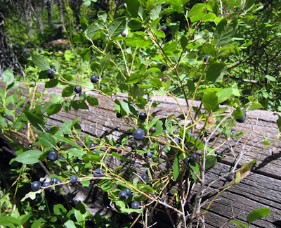 Huckleberry This small, dark berry is sweet and tart, ripening in late summer, and is often foraged by both wildlife and visitors along open conifer forests or recently disturbed areas, like trails and roads.
 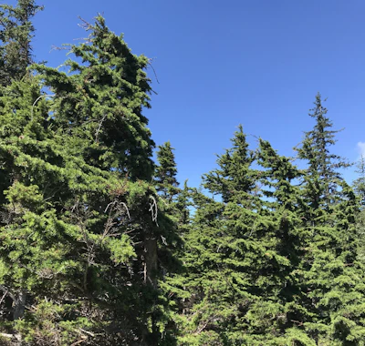 Mountain hemlock Recognizable by its bluish-green needles and drooping branch tips, this high-elevation conifer thrives on cool, moist slopes near timberline and volcanic peaks.
 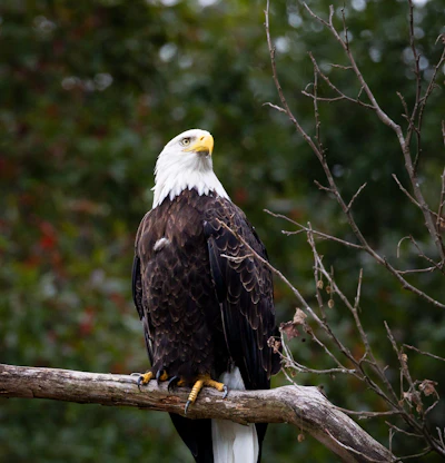 Bald eagle This white-headed raptor primarily feeds on fish but will also hunt small mammals or scavenge carrion.
 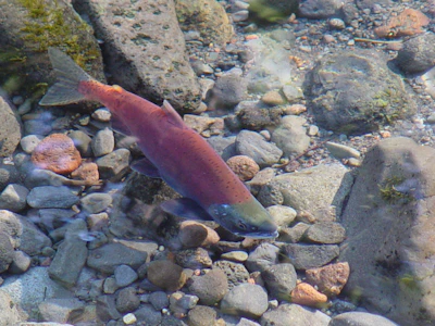 Kokanee salmon This landlocked sockeye salmon typically spawns in tributaries before spending most of its life in lakes or reservoirs.
 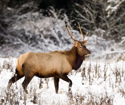 Roosevelt elk This is the largest of the country’s elk subspecies, with adult males weighing up to 1,200 pounds. It’s often active in meadows at dawn and dusk.
 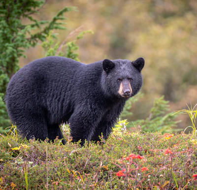 Black bear This omnivore is most active at dawn and dusk, foraging for berries and insects near streams and meadows, but may roam during the day, especially in less-traveled areas.
 Related Impact
Reforestation on the Umpqua
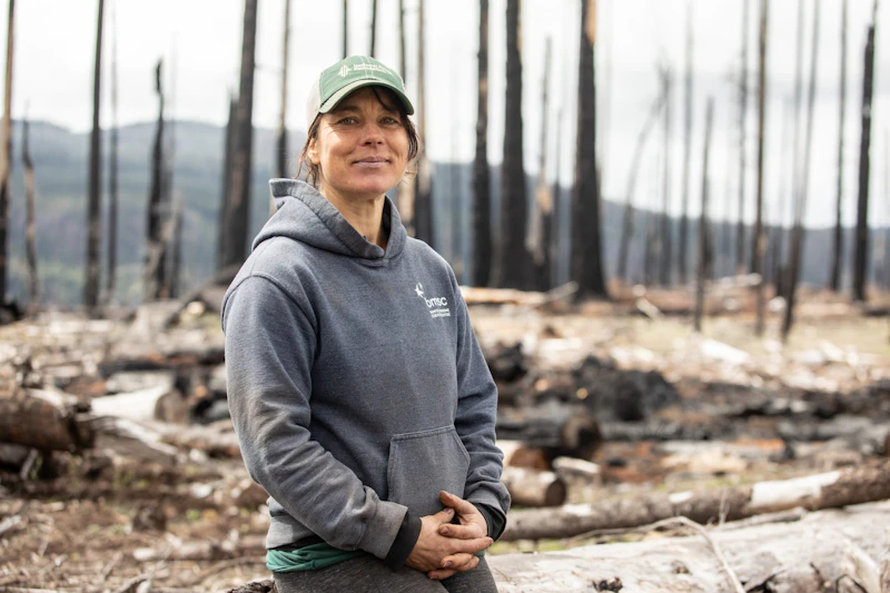
Anna’s family has been planting trees for 50 years. Now she is helping build a sustainable model to meet the Forest’s future post-fire reforestation needs.
What’s the Best First-Timer’s Adventure in the Willamette National Forest
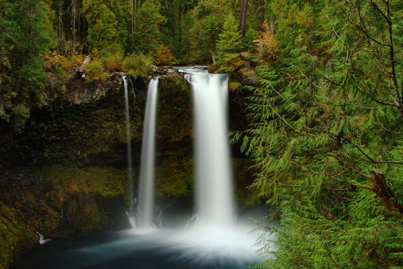
Visiting Sahalie & Koosah Falls is an easy but epic adventure in the Willamette National Forest. These powerful waterfalls sit along the McKenzie River and are connected by the Waterfalls Loop Trail, a 2.6-mile hike through lush old-growth conifer forest.
Where to Find More Information on the Willamette National Forest
For more information or questions, visit https://www.fs.usda.gov/r06/willamette
Discover how communities, volunteers, and partners are shaping the future of our National Forests and Grasslands.
Erosion and wildfire had left Arizona's historic Highline Trail rutted and unsafe. After five years of work with the Tonto…
Forest restoration near Flagstaff is reducing wildfire risk for local communities and safeguarding the water supply for millions across the…
Colorado's 14ers draw thousands of visitors each year, and the pressure on these fragile alpine landscapes is growing. Here's a…
Visitors of all ages can explore forest trails and sparkling waters, discover wildlife and underwater habitats, and connect with Tahoe’s…
A partnership-driven program connecting youth on Montana’s Flathead Reservation with hands-on conservation work, heritage education, and pathways in natural resource…
Seeing the impact first hand on the Grand Mesa, Uncompaghre and Gunnison National Forests
Seven Years of Reopening Trails After the Eagle Creek Fire
Field Ranger Program Connects Diverse Communities to Forests in Southern California
Anna's family has been planting trees for 50 years. Now she is helping build a sustainable model to meet the…
Nature-based solutions are bringing life back to streams and wetlands in the Colorado River Watershed, securing water for people, wildlife,…
Our Forests Need Us Today.
Your donation powers critical, on-the-ground conservation—from wildfire recovery to watershed restoration—protecting forests for the future.

