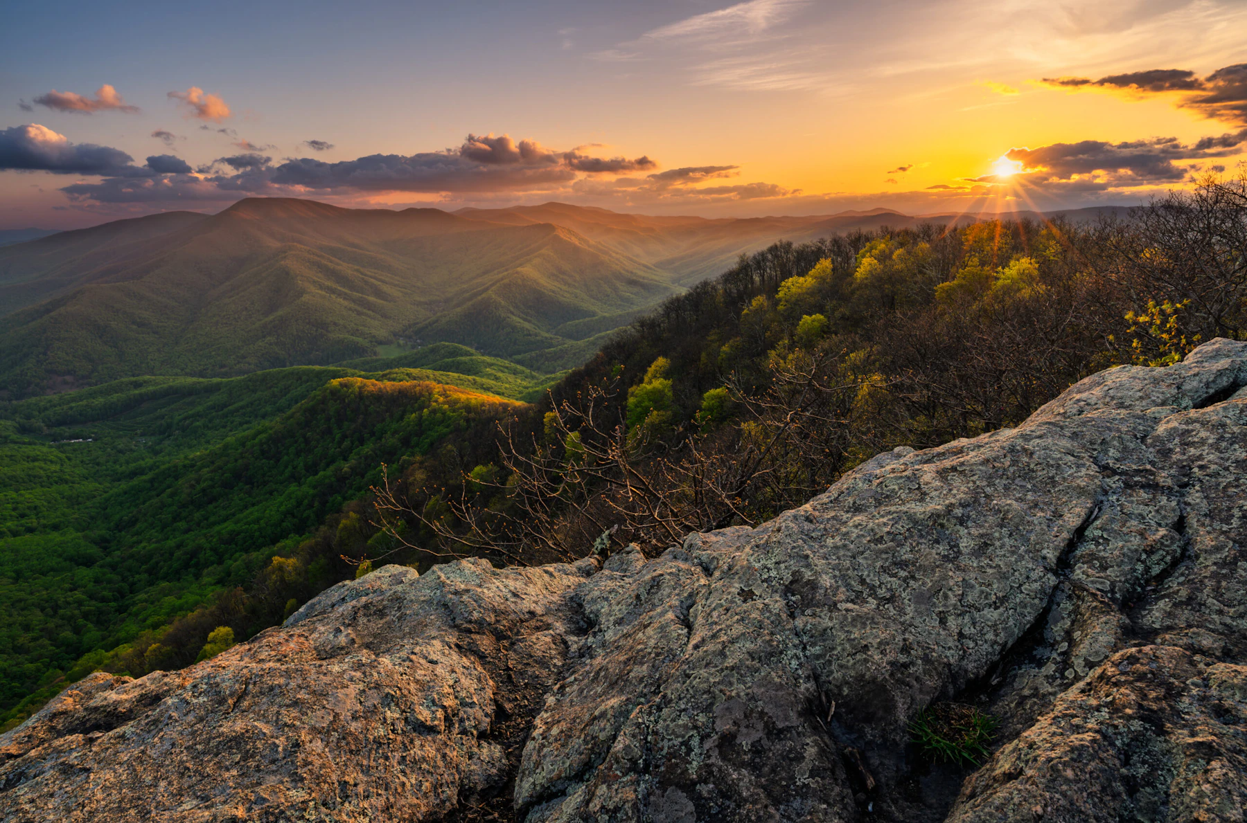
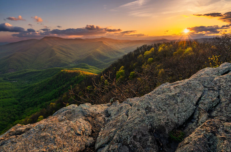
Experience the George Washington and Jefferson National Forests, which stretch 1.8 million acres along the border of Virginia and West Virginia, following the spectacular Blue Ridge Mountains. The forests are a wild expanse of beauty, home to 17 designated wilderness areas that consist of woodlands, mountain balds, and waterways.
The famed Blue Ridge Parkway cuts through the George Washington and Jefferson, and a portion of the forests adjoin Shenandoah National Park. As you can imagine, this beautiful region offers a collection of scenic drives. Treat yourself to a fall foliage drive through the George Washington and Jefferson National Forests .
The Jefferson National Forest is home to Mount Rogers, Virginia’s tallest peak at 5,729 feet. The surrounding Mount Rogers National Recreation Area has over 400 miles of trails, which range from primitive single-track to old logging roads and railroad grades. Some are only for hiking, others allow horse and bicycle use. Both forests host 325 miles of the Appalachian Trail.
The forests are located within eight major river basins: the Potomac, James, Roanoke, New, Big Sandy, Holston, Cumberland, and Clinch rivers. There are 2,340 miles of perennial streams, of which over 1,000 are trout waters. Plenty of recreation areas centered around lakes and reservoirs host all kinds of water activities. More than 40 developed campgrounds and three cabins provide a variety of overnight options.
 Campbell Creek. Photo by Matthew Grahovac
 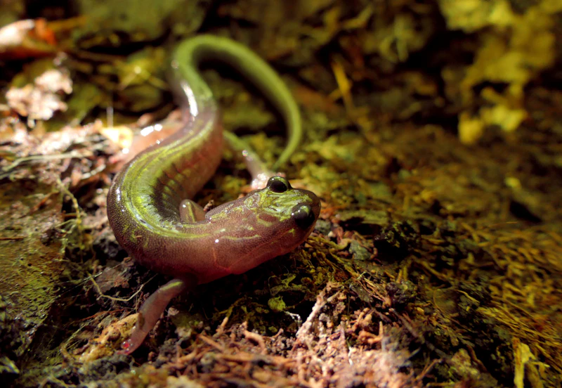 Photo by Patti Black
  Photo by Tate McPherson
 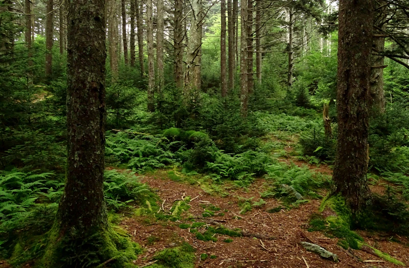 Photo by Patti Black
 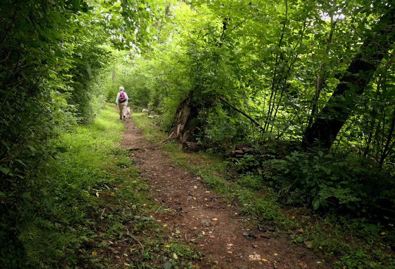 Photo by Patti Black
 What is the History of the George Washington and Jefferson National Forests?
European colonization in the 1700s dramatically altered the region’s cultural and ecological landscape. As settlers pushed westward into the Appalachian Mountains, conflicts intensified with the area’s original inhabitants, including the Monacan, Shawnee, Cherokee, and Tutelo peoples. By the 19th century, much of the Native presence had been destroyed through treaties, warfare, and assimilation policies.
Widespread logging, mining, and farming in the late 1800s and early 1900s led to significant deforestation and erosion. In response, the federal government began purchasing land to restore forest health and protect watersheds. The Jefferson National Forest was established in 1936, followed by the George Washington National Forest in 1932. The two were administratively combined in 1995.

How to Get to the George Washington and Jefferson National Forests
Interstate 81 is the primary north-south corridor running along the eastern edge of the forests, connecting towns like Harrisonburg, Staunton, Lexington, and Roanoke. Travelers from the east, including Richmond or Washington, D.C., can take Interstate 64 west, which intersects with I-81 and provides access to the central and southern areas of the forests.
The scenic Blue Ridge Parkway also skirts the eastern portion, offering stunning drives and direct access to ridge-top trails and overlooks. Routes 220 and 460 access the inner reaches of the forests. Gateway cities such as Roanoke and Blacksburg are great starting points for forest adventure.
- Richmond, Virginia: 2.5 to 3 hours by car
- Washington, D.C.: 3.5 to 4 hours by car
- Charlotte, North Carolina: 4 hours by car
- Pittsburgh, Pennsylvania: 5 hours by car

One of the most outstanding viewing spots in the George Washington National Forest is the High Knob Fire Lookout Tower. The tower is located at an elevation of 4,107 feet, and on a clear day, it’s possible to see five states, as well as the area’s most iconic peaks.
Within the George Washington and Jefferson are 325 miles of the iconic trail’s 2,190 total miles. The section that passes through the forests is among its most scenic, ranging in elevation from 265 feet at the James River Footbridge to 5,500 feet at Pine Mountain. A popular AT hike in the forests is 2.3-mile Dragon’s Tooth—part of Virginia’s famed “Triple Crown” of hiking.
A three-mile roundtrip hike leads to Crabtree Falls, a cascading waterfall that drops a total of 1,200 feet. The moderate climb is reached by a series of switchbacks that feature scenic overlooks of the falls.
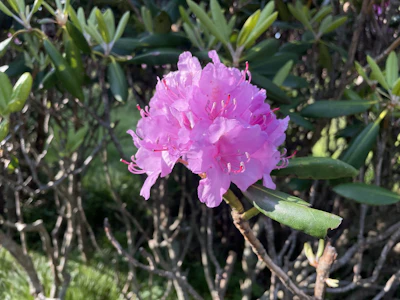 Rhododendron The most common species of this native shrub, Rhododendron maximum, or great laurel, produces large clusters of pink and white blossoms in late spring and early summer.
 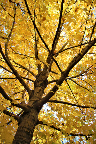 Sugar maple This iconic hardwood has brilliant fall foliage, is valued for its high-quality timber, and is the main source of maple syrup.
 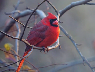 Northern cardinal This vivid bird, known for its whistling songs, is one of the forests’s most recognizable and non-migratory.
  Wild pony Introduced in the 1970s to help maintain the grassy balds through grazing, this hardy small horse has become an iconic part of the landscape.
 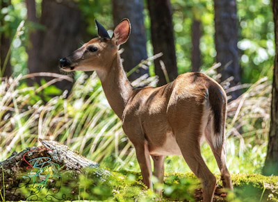 White-tailed deer With a red-brown coat that turns gray in the winter, this deer is frequently spotted throughout the forest. A buck, or adult male, grows antlers annually, which it sheds after mating season.
 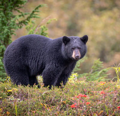 Black bear This medium-sized bear resides in the dense forests and open meadows of the forest, foraging for berries, insects, and small animals.
 Related Impact
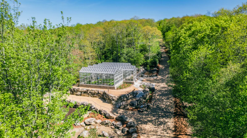
Restoring Red Spruce in the Southern Appalachians
The National Forest Foundation and our partners are joining forces to protect the iconic “sky island” ecosystems of the Southern Appalachians by expanding the capacity for red spruce restoration with a new state-of-the-art greenhouse.
What’s the Best First-Timer’s Adventure in the George Washington and Jefferson National Forests?
No visit to the George Washington and Jefferson National Forests is complete without drive along one of the country’s most famous roads, the Blue Ridge Parkway. The stunning 469-mile journey winds along the spine of the Blue Ridge Mountains, featuring picnic areas, trailheads, and scenic overlooks.

Where to Find More Information on the George Washington and Jefferson National Forests
For more information or questions, visit https://www.fs.usda.gov/r08/gwj
Discover how communities, volunteers, and partners are shaping the future of our National Forests and Grasslands.
Erosion and wildfire had left Arizona's historic Highline Trail rutted and unsafe. After five years of work with the Tonto…
Forest restoration near Flagstaff is reducing wildfire risk for local communities and safeguarding the water supply for millions across the…
Colorado's 14ers draw thousands of visitors each year, and the pressure on these fragile alpine landscapes is growing. Here's a…
Visitors of all ages can explore forest trails and sparkling waters, discover wildlife and underwater habitats, and connect with Tahoe’s…
A partnership-driven program connecting youth on Montana’s Flathead Reservation with hands-on conservation work, heritage education, and pathways in natural resource…
Seeing the impact first hand on the Grand Mesa, Uncompaghre and Gunnison National Forests
Seven Years of Reopening Trails After the Eagle Creek Fire
Field Ranger Program Connects Diverse Communities to Forests in Southern California
Anna's family has been planting trees for 50 years. Now she is helping build a sustainable model to meet the…
Nature-based solutions are bringing life back to streams and wetlands in the Colorado River Watershed, securing water for people, wildlife,…
Our Forests Need Us Today.
Your donation powers critical, on-the-ground conservation—from wildfire recovery to watershed restoration—protecting forests for the future.

