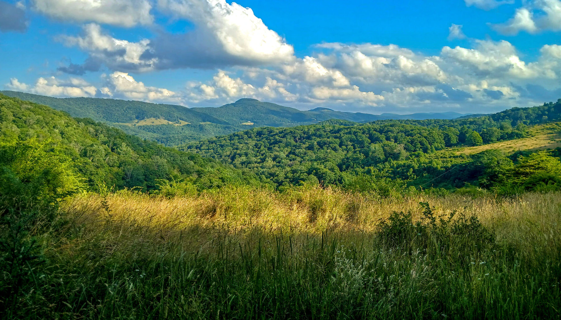
Experience the Monongahela National Forest, over 919,000 acres across the Allegheny Mountains of eastern West Virginia. Its unique and very diverse landscape spans rugged peaks, blueberry thickets, highland bogs, and the headwaters of six major rivers.
The quartzite crag of Seneca Rocks, which rise nearly 900 feet above the North Fork River, is one of the most known natural features in West Virginia, not only as a scenic attraction but as a popular climbing destination.
Elevation ranges from 900 feet at the area around the city of Petersburg to 4,861-foot Spruce Knob, the highest point in West Virginia. The Monongahela includes seven designated Wilderness Areas: Big Draft, Otter Creek, Dolly Sods, Laurel Fork (North and South), Roaring Plains West, Spice Run, and Cranberry; as well as one National Recreation Area, Spruce Knob-Seneca Rocks.
Hikers and horseback riders can choose from short day hikes to backpacking routes. The Monongahela has a bounty of water activities, as the home of 250 acres of manmade lakes and of the headwaters of the Monongahela, Potomac, Greenbrier, Elk, Tygart, and Gauley rivers. These waterways provide excellent whitewater rafting, and the 576 miles of trout streams for fishing.
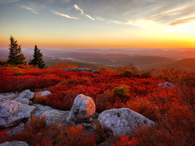 Photo by Clay McCreary
 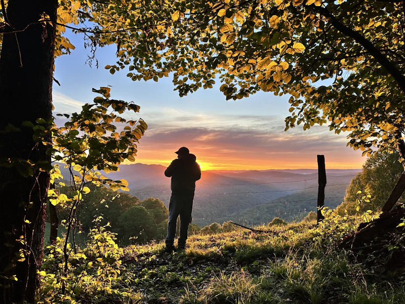 Photo by Kendra Evans
 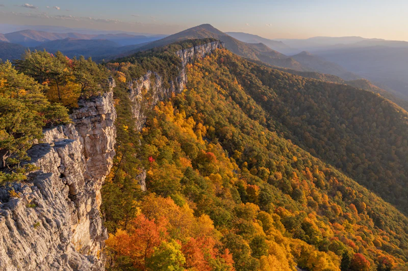 Photo by Thomas Cluderay
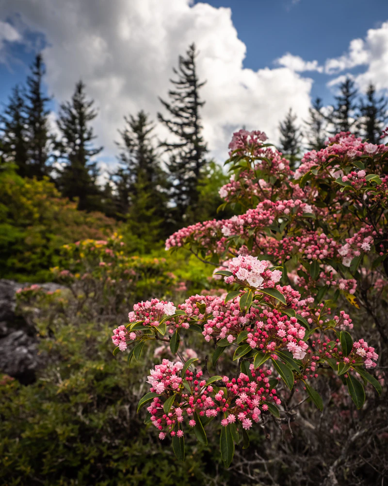
 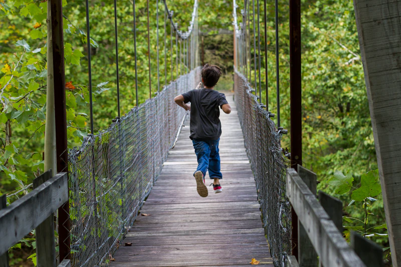 Photo by Kevin Frick
 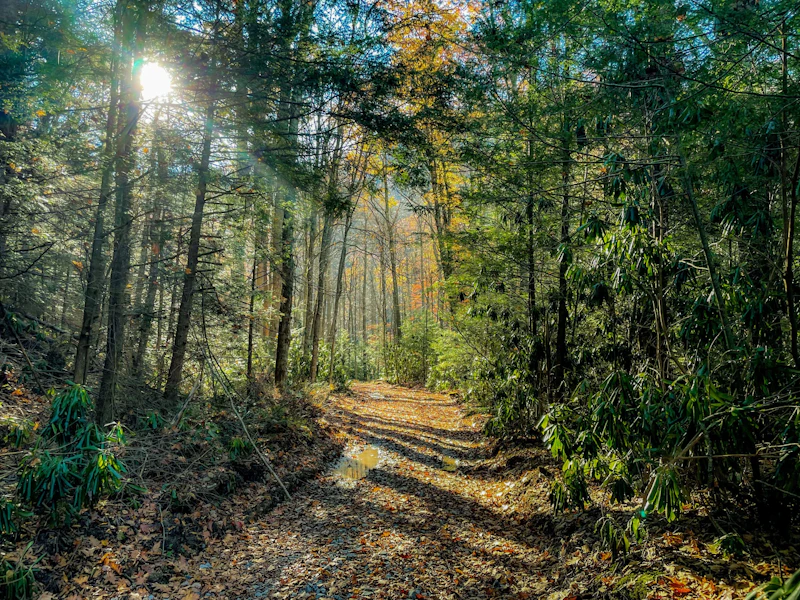 Photo by Kirsten Owens, courtesy of the U.S. Forest Service
 What is the History of the Monongahela National Forest?
After the logging boom during the late 19th and early 20th centuries, the government acquired degraded lands in the 1920s and 1930s, eventually establishing the Monongahela National Forest in 1920.
The Civilian Conservation Corps played a critical role in shaping the forest, planting millions of trees, constructed trails, fire towers, and roads during the Great Depression.
Long before European settlers arrived, the area was inhabited by Native American peoples, including the Shawnee, Delaware, and Cherokee.
How to Get to the Monongahela National Forest
Interstate 79 runs north-south west of the forest, connecting Morgantown and Clarksburg, while Interstate 68 to the north provides access from Cumberland, Maryland. For travelers coming from the south, Interstate 64 passes near Lewisburg, a key gateway town.
U.S. Route 33 cuts through the forest east-west, offering scenic approaches to popular areas like Seneca Rocks. U.S. Route 219, serves as a hub for exploring the northern forest and the Spruce Knob area. Marlinton sits along U.S. Route 250, providing access to the central part of the forest, including the Cranberry Wilderness.
The closest major airport is in Roanoke, Virginia, though Elkins and Lewisburg have small regional airports.
- Harrisonburg, Virginia: 2 hours by car
- Roanoke, Virginia: 3 to 3.5 by car
- Charleston, West Virginia: 3 to 3.5 hours by car
- Richmond, Virginia: 3.5 to 4 hours by car
- Huntington, West Virginia: 4 to 4.5 hours by car

This crag in the Spruce Knob–Seneca Rocks National Recreation Area is considered to have some of the best multi-pitch trad climbs on the East Coast. It has climbs for all skill levels, from big ascents for beginners to 5.10-plus routes for experienced climbers.
This unique area protects the largest area of bogs in West Virginia. A half-mile boardwalk features rare bog plants, orchids, and carnivorous plants and allows visitors to explore these unique acidic wetlands, more commonly found in the northern areas of this country and in Canada, without disturbing this fragile community.
At 4,863 feet, Spruce Knob is West Virginia’s highest peak. Hikers can take the 11-mile Huckleberry Trail to the summit for panoramic views of the Allegheny Mountains. Also at the peak is a two-story observation tower that offers even better views. In winter, nearby trails offer cross-country skiing.
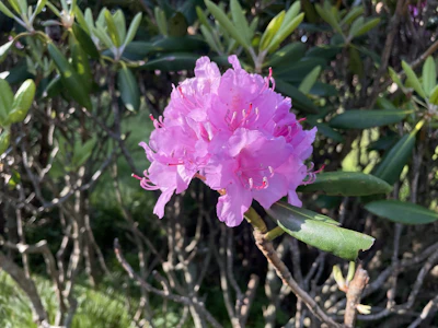 Rhododendron The most common species of this native shrub, Rhododendron maximum, or great laurel, produces large clusters of pink and white blossoms in late spring and early summer.
 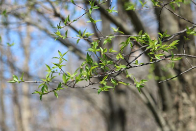 Black cherry A tall hardwood known for its reddish-brown wood, fragrant white spring blossoms, and leaves that turn every color come fall.
 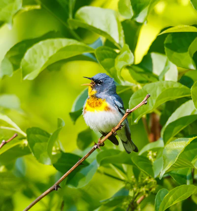 Northern parula This colorful, small warbler has blue-gray head, with a greenish back back and bright yellow chest and can be spotted in mature forest sections during breeding season.
 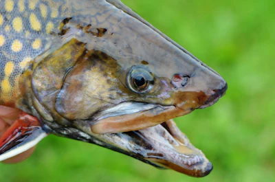 Brook trout The Monongahela’s 600 miles of cold water streams are inhabited year-round by native brook trout, distinguished by wavy lines on its olive-green back.
 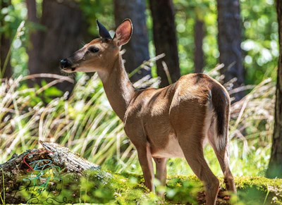 White-tailed deer With a red-brown coat that turns gray in the winter, these deer are frequently spotted throughout the forest. Bucks, or adult males, grow antlers annually, which they shed after mating season.
 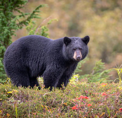 Black bear This medium-sized bear resides in the dense forests and open meadows of the forest, foraging for berries, insects, and small animals. It’s important to keep all food stored when recreating in the Monongahela.
 Related Impact
Restoring Red Spruce in the Southern Appalachians
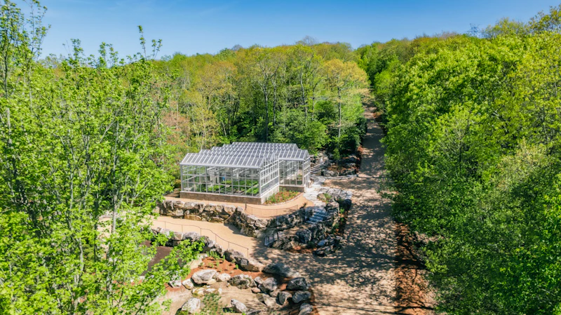
The National Forest Foundation and our partners are joining forces to protect the iconic “sky island” ecosystems of the Southern Appalachians by expanding the capacity for red spruce restoration with a new state-of-the-art greenhouse.
What’s the Best First-Timer’s Adventure in the Monongahela National Forest
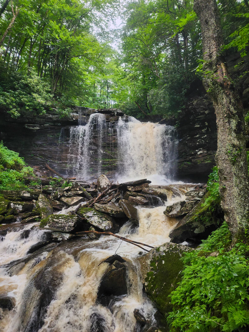
Explore the Falls of Hills Creek Scenic Area, a 114-acre site in a narrow gorge that contains three waterfalls at 25, 45, and 63 (one of the tallest in the state). The scenic area features an accessible boardwalk overlooking the first falls, which leads to stairs that bring visitors to boardwalks near the remaining cascades.
Where to Find More Information on the Monongahela National Forest
For more information or questions, visit https://www.fs.usda.gov/r09/monongahela.
Discover how communities, volunteers, and partners are shaping the future of our National Forests and Grasslands.
Erosion and wildfire had left Arizona's historic Highline Trail rutted and unsafe. After five years of work with the Tonto…
Forest restoration near Flagstaff is reducing wildfire risk for local communities and safeguarding the water supply for millions across the…
Colorado's 14ers draw thousands of visitors each year, and the pressure on these fragile alpine landscapes is growing. Here's a…
Visitors of all ages can explore forest trails and sparkling waters, discover wildlife and underwater habitats, and connect with Tahoe’s…
A partnership-driven program connecting youth on Montana’s Flathead Reservation with hands-on conservation work, heritage education, and pathways in natural resource…
Seeing the impact first hand on the Grand Mesa, Uncompaghre and Gunnison National Forests
Seven Years of Reopening Trails After the Eagle Creek Fire
Field Ranger Program Connects Diverse Communities to Forests in Southern California
Anna's family has been planting trees for 50 years. Now she is helping build a sustainable model to meet the…
Nature-based solutions are bringing life back to streams and wetlands in the Colorado River Watershed, securing water for people, wildlife,…
Our Forests Need Us Today.
Your donation powers critical, on-the-ground conservation—from wildfire recovery to watershed restoration—protecting forests for the future.

