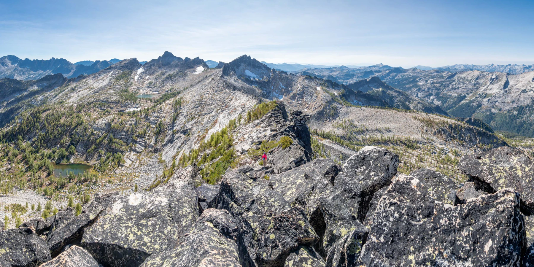
Explore the Bitterroot National Forest in southwest Montana and eastern Idaho, home to the largest continuous wilderness in the lower 48: the Selway–Bitterroot, Frank Church–River of No Return, and Anaconda Pintler. Much of the forest’s beauty can be attributed to the heavily glaciated, rugged peaks and steep canyons of the Bitterroot Range.
In the drier valley floor and lower foothills, you’ll find arid-lands mix of grasslands, shrublands, and ponderosa pine that borders cottonwood forest along rivers and streams. On grassland ecosystems, wildlife and domestic livestock share forage.
Mid-elevations receive more moisture and are habitat for stands of Douglas fir, lodgepole pine, and western larch. Higher elevations produce Engelmann spruce, subalpine fir, and whitebark pine.
Elevation ranges from 10,157-foot Trapper Peak, reached by an epic eight-mile hike, to 2,600 feet along the Selway River, a prime rafting and kayaking destination. Spend the night at 18 scenic campgrounds, hike or ride on more than 1,600 miles of trails, and raft the iconic Middle Fork of the Salmon River.
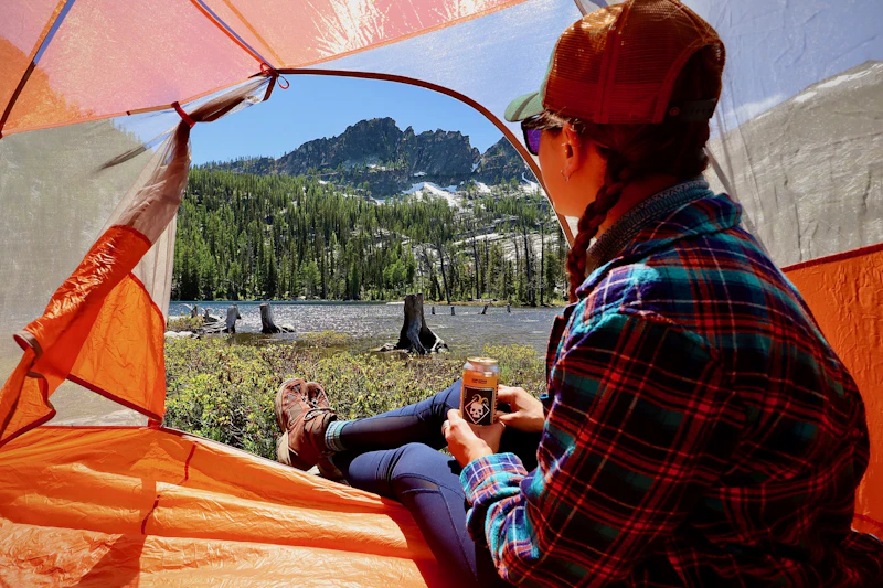 Photo by Alisha Taylor
 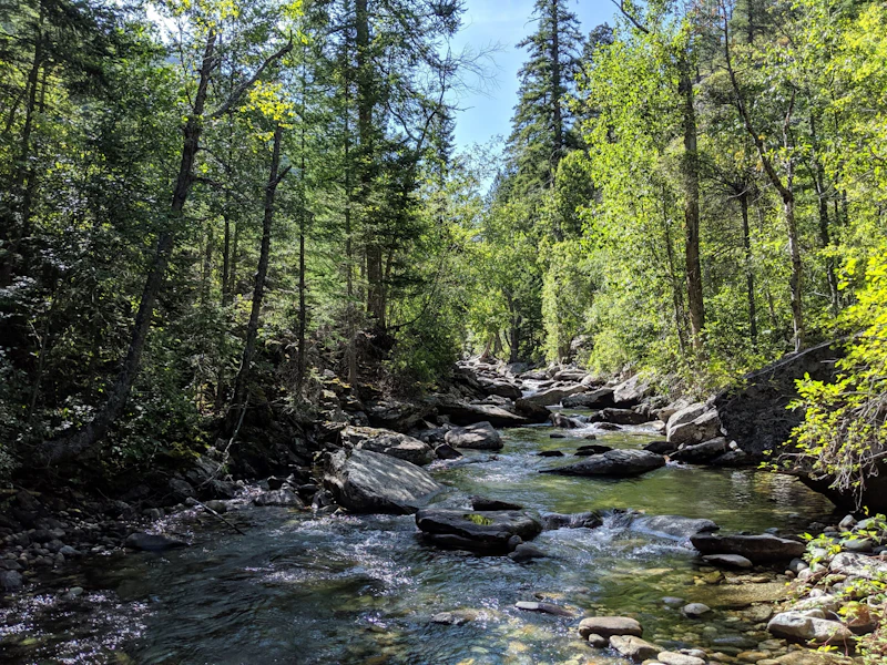 Photo by E. Shearer
 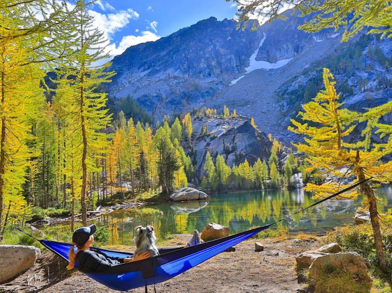 Photo by Maddie Roberts Photography
 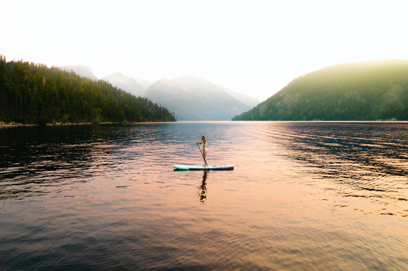 Photo by Jordan Lefler
 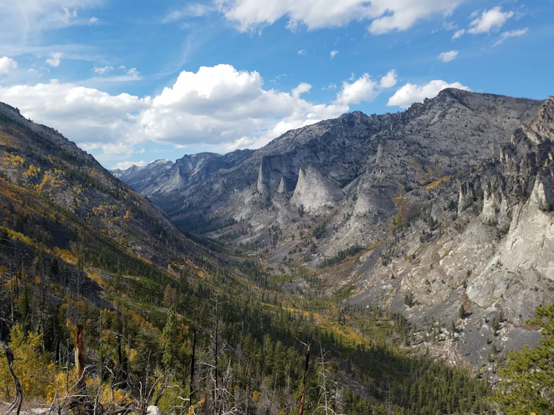 Photo by Conor Phelan
 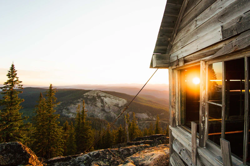 Photo by Jordan Lefler
 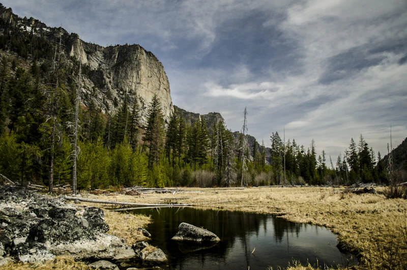 Photo by Aaron Olsen
 What is the History of the Bitterroot National Forest?
The original inhabitants of the valley between the Bitterroot Range and Sapphire Mountains are the Salish people, who continue to reside in the area, as part of the Confederated Salish and Kootenai Tribes.
The forest was established in 1898 as part of the Selway Forest Reserve, and later designated the Bitterroot National Forest in 1908. Its name comes from Montana’s state flower, the perennial, pink-flowered bitterroot, which is common in the area.
In the years following WWII, timber harvesting increased in Bitterroot, which caused clearcutting protests that led to congressional hearings in 1971 over best practices and eventually, the passage of the National Forest Management Act of 1976.
Today, in response to the changing needs of society, the Bitterroot National Forest balances the principles of multiple-use and ecosystem management. The forest supports recreation, wildlife, fisheries, water, cultural resources, as well as timber, minerals, and grazing.
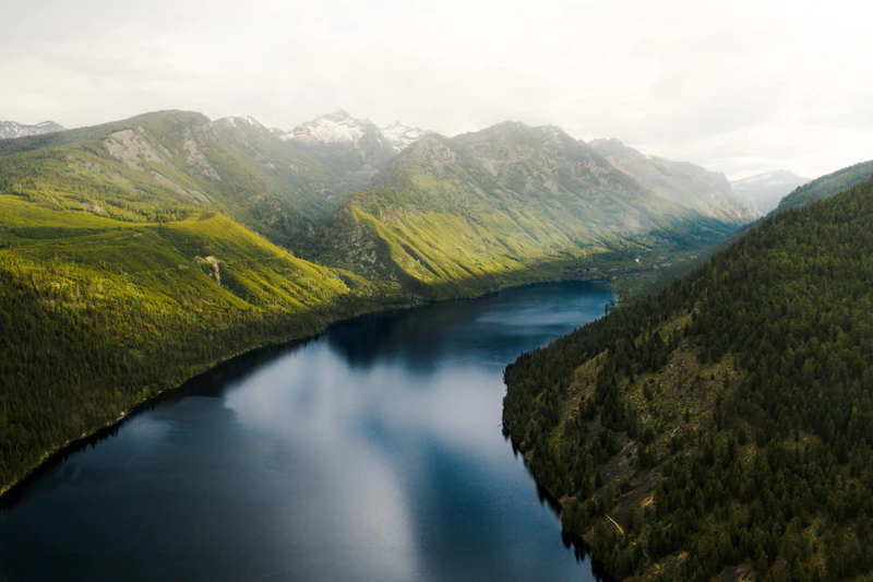
How to Get to the Bitterroot National Forest
To get to the Bitterroot National Forest, visitors primarily use Highway 93, which runs through the Bitterroot Valley. The forest is easily reached from Missoula, Montana, a major gateway city about 30 miles north. From Missoula, Highway 93 runs north through communities like Lolo and Hamilton. From Idaho, Highway 12 connects to Highway 93 near Lolo.
- Missoula, Montana: 1.5 to 2 hours by car
- Bozeman, Montana: 3.5 to 4 hours by car
- Spokane, Washington: 5 hours by car

The historic Alta Ranger Station, on the West Fork of the Bitterroot River, is the oldest Forest Service station, built in 1899. Visitors can enter the sod-roof log cabin for an authentic look at life as a ranger in the 19th century.
For an easy day hike filled with the best of Bitterroot Mountains scenery, take this 2.5-mile out-and-back trail along Blodget Creek into a canyon flanked with granite spires before topping out at an overlook.
The Lake Como Beach Swimming Site is an ideal family-friendly getaway, with a sandy shoreline (a rarity in Montana!), scenic mountain views, and excellent facilities. There’s also a motorized boat launch and hiking trails that encircle the lake.
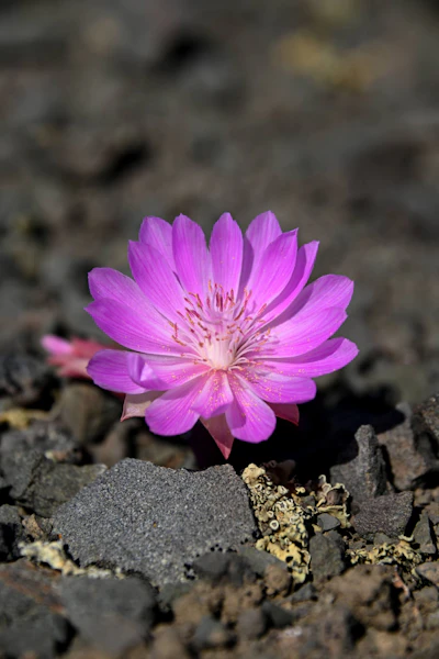 Bitterroot This perennial that blooms pink in the early summer is what gave the area its name. Its roots were a source of food for Native Americans.
 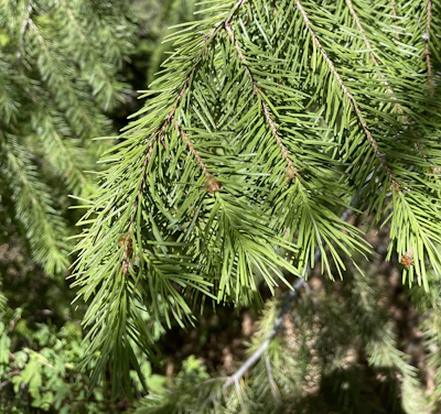 Douglas fir This towering conifers, with its aromatic needles and fire-resistent bark, make up the majority of the forest’s mid- to high-elevation landscapes.
 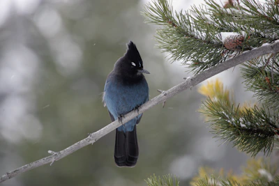 Steller’s jay With its black upper-half and blue lower-half, this jay is a unique sight in the upper ranges of Bitterroot. It’s known for its ability to mimic other animal sounds, from hawks to humans.
 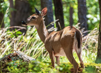 White-tailed deer One of the most common sights in Bighorn National Forest, this deer is active at dawn and dusk and supports predators like mountain lions and wolves.
 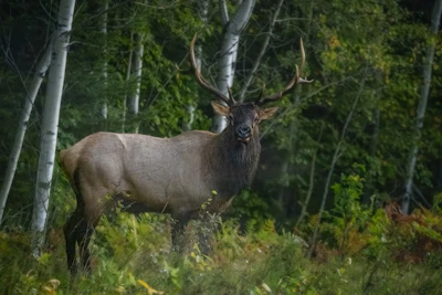 Elk This majestic animal, the second largest species in the deer family after moose, is most active during dawn and dusk and during fall rutting season.
 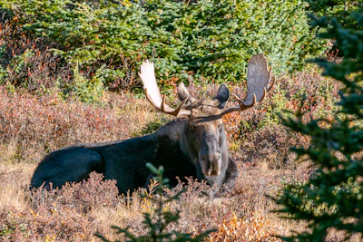 Moose Growing up to six feet tall and weighing up to 1,600 pounds makes this herbivore easy to spot, especially near lakes and rivers.
 Related Impact
Cultivating Leaders in the Mission Mountains
A partnership-driven program connects youth on Montana’s Flathead Reservation with hands-on conservation work, heritage education, and pathways in natural resource careers.
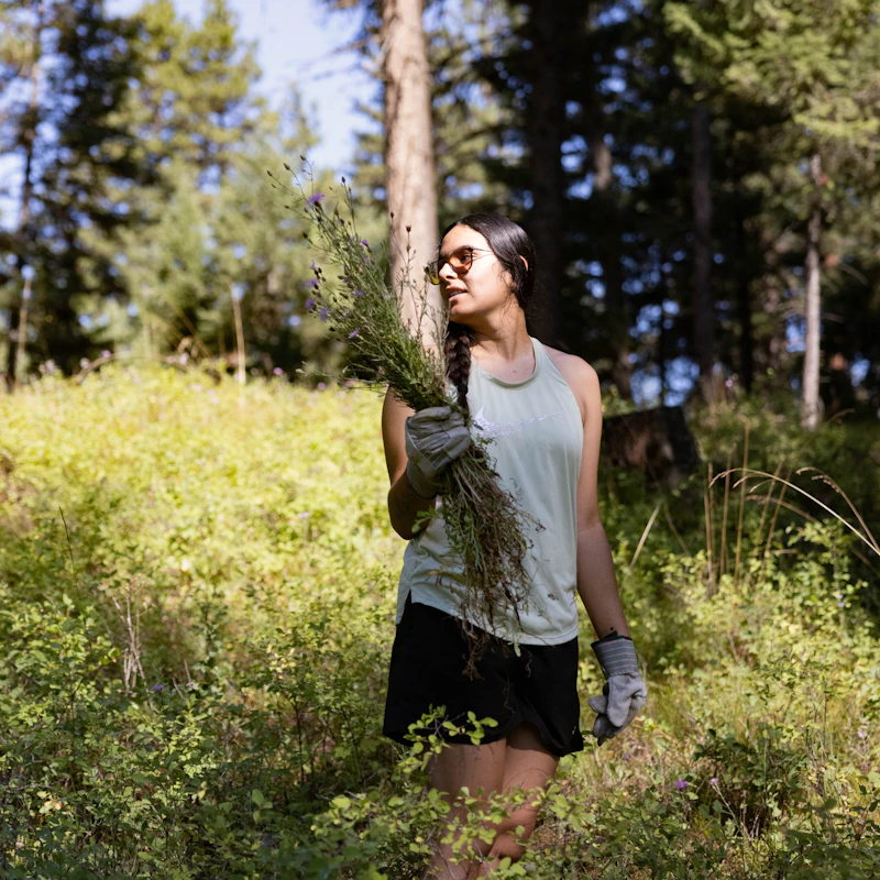
What’s the Best First-Timer’s Adventure in the Bitterroot National Forest?
The Bitterroot National Forest is home to three fire lookouts that are open for overnight stays. These perched cabins offer sweeping views of the Sapphire, Bitterroot, and Anaconda Pintler ranges. Medicine Point Lookout, restored to reflect the feel of a 1940s lookout, accommodates up to four people. Reservations are available on a rolling six-month window.
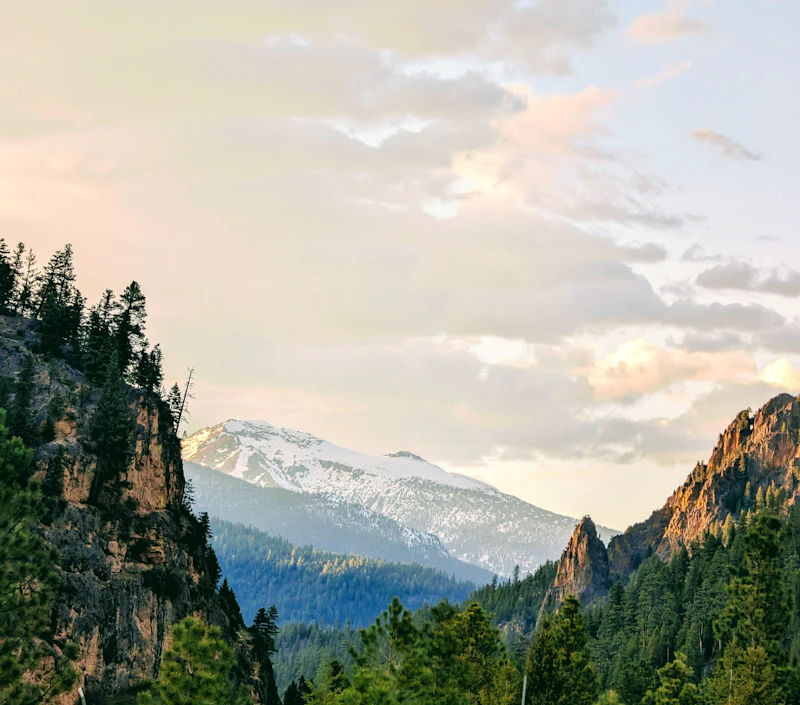
Where to Find More Information on the Bitterroot National Forest
For more information or questions, visit https://www.fs.usda.gov/r01/bitterroot
Discover how communities, volunteers, and partners are shaping the future of our National Forests and Grasslands.
After years of damage, recovery, and reconstruction, the trail to Hanging Lake has been fully rebuilt, creating a more durable,…
Erosion and wildfire had left Arizona's historic Highline Trail rutted and unsafe. After five years of work with the Tonto…
Forest restoration near Flagstaff is reducing wildfire risk for local communities and safeguarding the water supply for millions across the…
Colorado's 14ers draw thousands of visitors each year, and the pressure on these fragile alpine landscapes is growing. Here's a…
Visitors of all ages can explore forest trails and sparkling waters, discover wildlife and underwater habitats, and connect with Tahoe’s…
A partnership-driven program connecting youth on Montana’s Flathead Reservation with hands-on conservation work, heritage education, and pathways in natural resource…
Seeing the impact first hand on the Grand Mesa, Uncompaghre and Gunnison National Forests
Seven Years of Reopening Trails After the Eagle Creek Fire
Field Ranger Program Connects Diverse Communities to Forests in Southern California
Anna's family has been planting trees for 50 years. Now she is helping build a sustainable model to meet the…
Our Forests Need Us Today.
Your donation powers critical, on-the-ground conservation—from wildfire recovery to watershed restoration—protecting forests for the future.

