
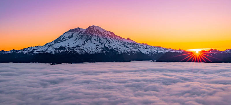
Discover the Gifford Pinchot National Forest in southwest Washington State, with 1.3 million acres of old-growth forest, crucial watersheds, sweeping glaciers, and iconic peaks of the Cascade Range, including Mount Adams. The forest’s crowning jewel Mount St. Helens, an active stratovolcano that famously erupted in 1980. It’s part of the 110,000-acre Mount St. Helens National Volcanic Monument.
The forest shares a portion of Mount Rainier National Park’s southern and western boundaries. Seven Wilderness Areas with incredible scenery and unmatched solitude, from the forested high plateau of Indian Heaven and part of the volcanic Cascade Mountain Range at Goat Rocks to the important wildlife habitat of Trapper Creek.
Mount Adams has an elevation of 12,276 feet, making it the second highest peak in Washington after Mount Rainier; its 18-mile-wide diameter, however, makes it the largest volcano by volume in the state. Along with Mount St. Helens, Mount Adams is a popular climbing destination.
The Gifford Pinchot National Forest features more than 1,500 miles of trails maintained for hiking, biking, horseback riding, and winter sports like cross-country skiing. Part of the Pacific Crest Trail also passes through the forest, with plenty of offshoot trails connecting to it.
 Photo by Thomas-Cluderay
  Photo by Andy Zahn
 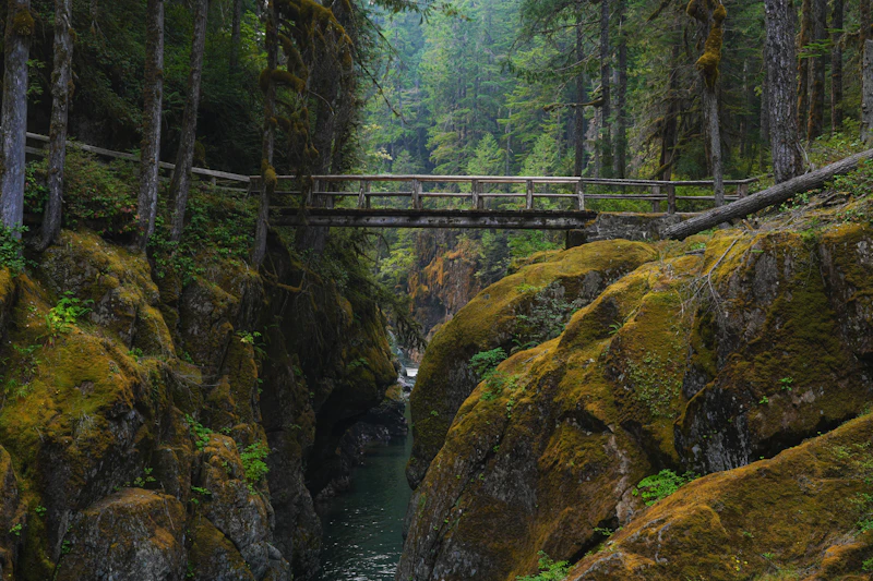 Photo by Ashley Cassidy
 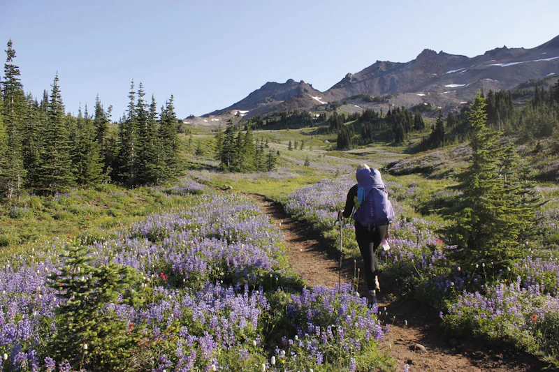 Photo by the U.S. Forest Service
  Photo by Breanna Corder
 What is the History of the Gifford Pinchot National Forest?
The Gifford Pinchot is one of the oldest National Forests in the United States. The area was part of the Mount Rainier Forest Reserve in 1897, set aside as the Columbia National Forest in 1908, and renamed the Gifford Pinchot National Forest in 1949, after the first Chief of the Forest Service.
The Yakama, Klickitat, Cascades, Wasco, Wishram, and Umatilla have lived in and around the forest for millennia. Mount St. Helens, known to some tribes as Loowit, holds deep cultural and spiritual significance. Part of Mount Adams lies within the Yakama National Indian Reservation. Many traditional trails and sites remain sacred today, and tribal members continue to maintain cultural ties and treaty rights within the forest.
Throughout the 20th century, the forest saw both extensive logging and growing conservation efforts. The 1980 eruption of Mount St. Helens drastically reshaped the landscape and led to the creation of the Mount St. Helens National Volcanic Monument two years later. Today, the forest attracts more than one million visitors annually.
How to Get to the Gifford Pinchot National Forest
From the east, Route 12 runs east–west across southern Washington and intersects forest access roads along its route. From the west, Interstate 5 branches into state routes 14 and 503, which run along the southern and western edges of the Gifford Pinchot National Forest.
The forest is located 95 miles southeast of Seattle-Tacoma International Airport, and is somewhat equidistant between the major cities of Seattle, Washington, and Portland, Oregon. Important gateway towns and communities include Packwood, Carson, and Bingen.
- Seattle, Washington: 2.5 to 3 hours by car
- Tacoma, Washington: 3 to 3.5 hours by car
- Portland, Oregon: 3 to 3.5 hours by car

The 1.8-mile Lake Christine Trail enters near the southern end of Glacier View Wilderness and passes Lake Christine. Link up with other routes including the 2.5-mile Puyallup Trail and the 2.9-mile Glacier View Trail for amazing views of Mount Rainier. A side trail off the Lake Christine Trail also allows you to climb 5,475-foot Mount Beljica for another breathtaking view.
From swimming and fishing for cutthroat at 384-acre Walupt Lake, which has seven walk-in sites, to boating at Goose Lake, which features several sites on a hillside overlooking the water, there’s nothing like spending a few nights on one of eight lakeside at the Gifford Pinchot National Forest
For experienced climbers, Mount Adams features a variety of sport climbing routes. If you plan to travel above 7,000 feet on the mountain between May 1 and September 30, be sure to get a permit. The western half of the mountain is managed by the Forest Service, while the eastern half is managed by the Yakama Nation and is largely closed to recreation.
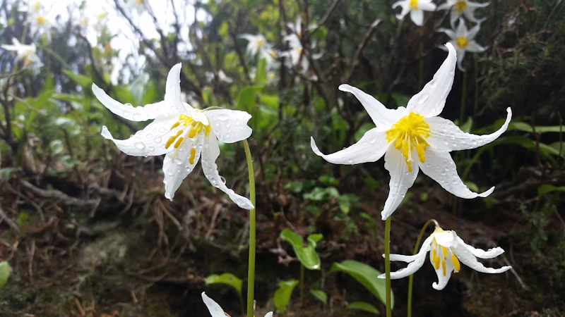
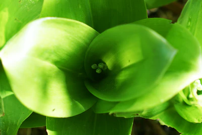 Bead lily With blue berries that look like beads strung together, this plant thrives in high-elevation areas beneath the canopy and bloom with white, star-shaped flowers in the summer.
 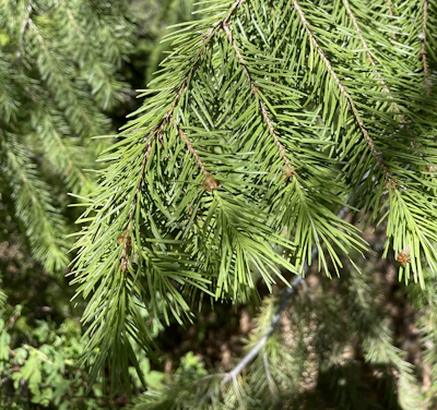 Douglas fir The most common species found in the Gifford Pinchot is the Douglas fir, which can grow to over 250 feet and live for centuries.
 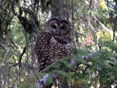 Northern spotted owl This threatened species has been making a slow return thanks to conservation efforts. It thrives in old-growth coniferous forests and feeds on small mammals.
 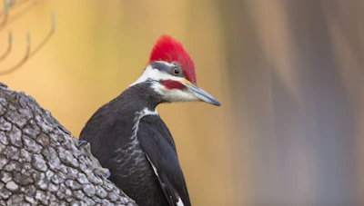 Pileated woodpecker This keystone species—one of the largest of the woodpecker—drills large cavities in decaying trees and feeds on ants, larvae, and other insects.
 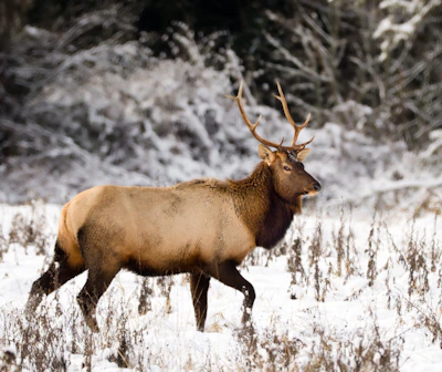 Roosevelt elk This is the largest of the country’s elk subspecies, with adult males weighing up to 1,200 pounds. It’s often active in meadows at dawn and dusk.
 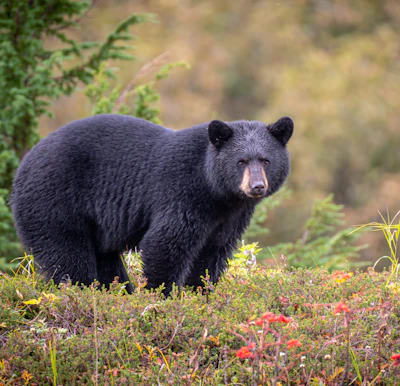 Black bear This medium-sized bear resides in the dense forests and open meadows of the forest, foraging for berries, insects, and small animals.
 Related Impact
Restoring the Columbia River Gorge National Scenic Area
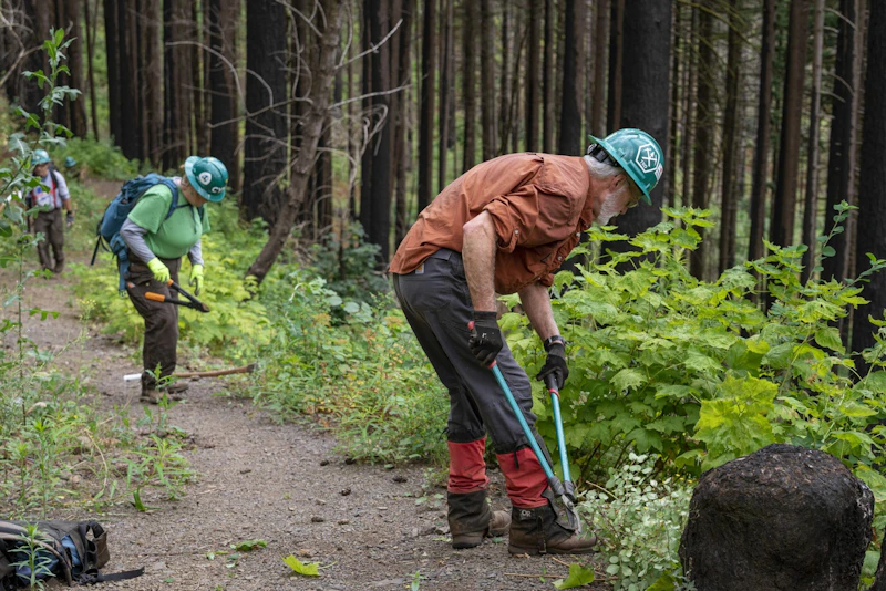
Working hand-in-hand with the community and our partners, less than a decade after the devastating Eagle Creek Fire, nearly every mile of trail that was damaged has reopened.
What’s the Best First-Timer’s Adventure in the Gifford Pinchot National Forest?
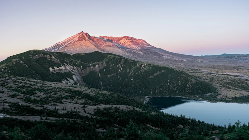
For the best view of Mount St. Helens, head to the Johnston Ridge Observatory, located at the end of State Highway 504, in the heart of the 1980 eruption’s blast zone. Join a ranger talk or guided hike, which runs in the summers, or hike the half-mile Eruption Trail yourself for views of the lava dome, crater, and pumice plain.
Where to Find More Information on the Gifford Pinchot National Forest
For more information or questions, visit https://www.fs.usda.gov/r06/giffordpinchot
Discover how communities, volunteers, and partners are shaping the future of our National Forests and Grasslands.
Erosion and wildfire had left Arizona's historic Highline Trail rutted and unsafe. After five years of work with the Tonto…
Forest restoration near Flagstaff is reducing wildfire risk for local communities and safeguarding the water supply for millions across the…
Colorado's 14ers draw thousands of visitors each year, and the pressure on these fragile alpine landscapes is growing. Here's a…
Visitors of all ages can explore forest trails and sparkling waters, discover wildlife and underwater habitats, and connect with Tahoe’s…
A partnership-driven program connecting youth on Montana’s Flathead Reservation with hands-on conservation work, heritage education, and pathways in natural resource…
Seeing the impact first hand on the Grand Mesa, Uncompaghre and Gunnison National Forests
Seven Years of Reopening Trails After the Eagle Creek Fire
Field Ranger Program Connects Diverse Communities to Forests in Southern California
Anna's family has been planting trees for 50 years. Now she is helping build a sustainable model to meet the…
Nature-based solutions are bringing life back to streams and wetlands in the Colorado River Watershed, securing water for people, wildlife,…
Our Forests Need Us Today.
Your donation powers critical, on-the-ground conservation—from wildfire recovery to watershed restoration—protecting forests for the future.

