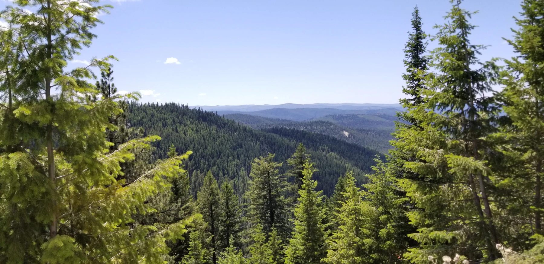
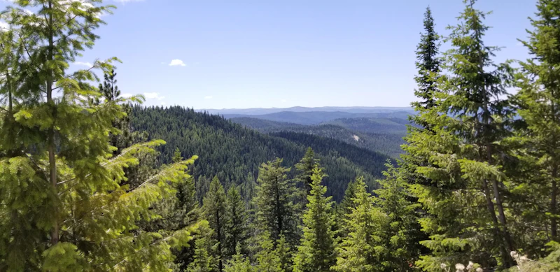
Discover the Umatilla National Forest, spans 1.4 million acres of rugged mountain peaks and lush river valleys in southeast Washington and northeast Oregon.The forest features two distinct mountain ranges: the Blue Mountains and the Wallowa Mountains. Elevations range from rolling foothills to alpine peaks over 9,000 feet.
Three designated Wilderness Areas reside on the Umatilla National Forest: the Wenaha-Tucannon, North Fork Umatilla, and North Fork John Day. The Umatilla’s wilderness radiates down into steep gorges and canyons from high plateaus instead of upward to high peaks and alpine lakes.
Hundreds of hiking, mountain biking, horseback, and OHV trails wind through dense forests and along scenic ridges, while rivers and streams provide excellent paddling and fishing for trout and steelhead. The forest’s game-rich landscapes attract hunters year-round. Winter on the Umatilla offers a number of recreation opportunities, from snowmobiling at sno-parks to downhill skiing at Bluewood Ski Area.
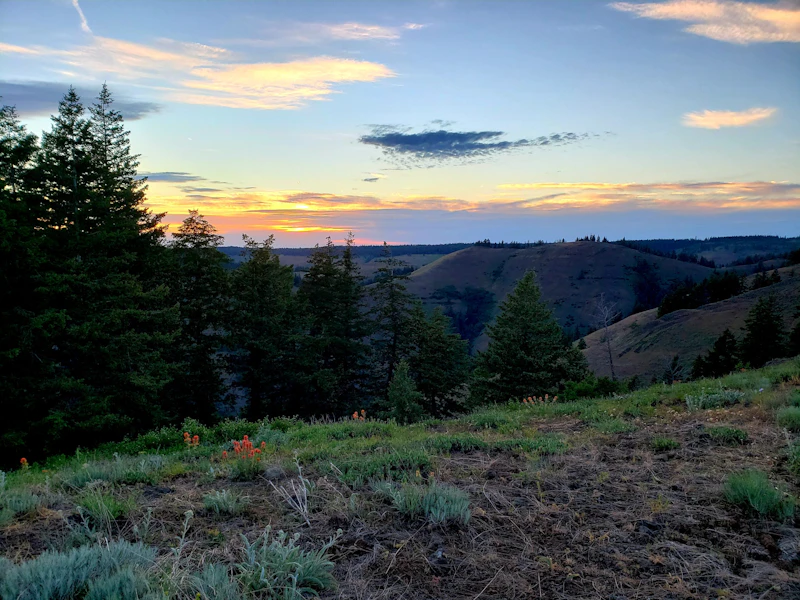
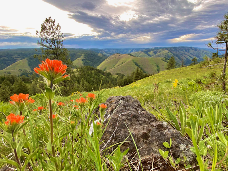 Whitman Overlook. Photo by Eric Valentine
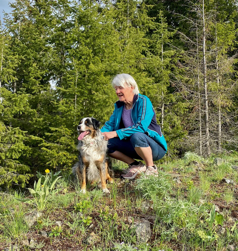 Butcher Point. Photo by Eric Valentine
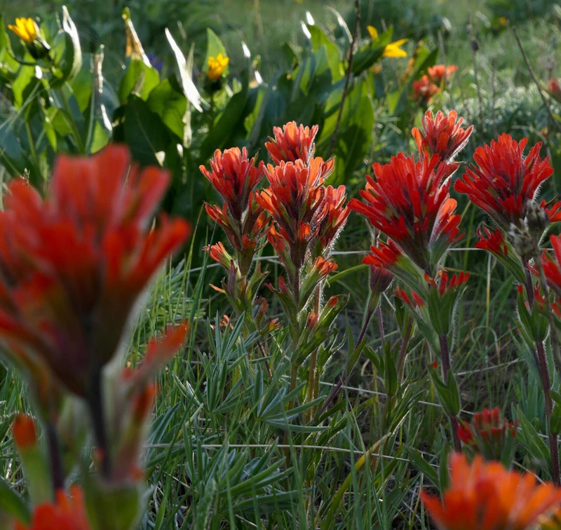 Photo by Anna Jackson
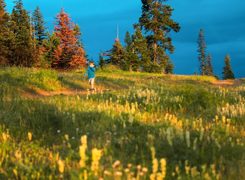 Photo by Erica Klock
What is the History of the Umatilla National Forest?
Established in 1908, it was named after the Umatilla River, which flows through the forest and has long been central to the culture and history of the local Indigenous peoples, including the Cayuse, and Walla Walla tribes. The name “Umatilla” refers to the Umatilla tribe, who also call this area home and who are part of the Confederated Tribes of the Umatilla Indian Reservation.
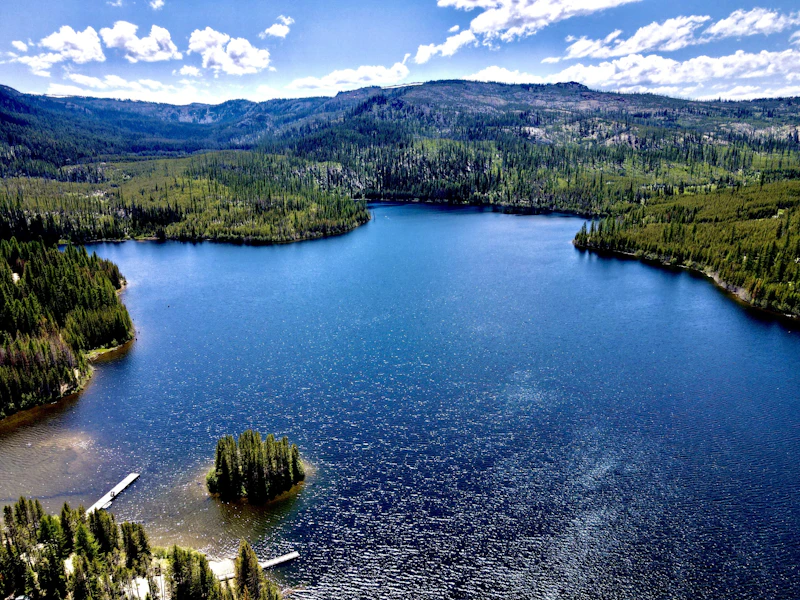
How to Get to the Umatilla National Forest
The Umatilla National forest is accessible via Interstate 84, which runs east-west along the southern edge of the forest. This highway connects cities such as Pendleton and La Grande, both of which serve as primary gateways for forest visitors. State Route 395, which runs north-south along the forest’s eastern perimeter. For those coming from Washington, U.S. Highway 12 connects southeastern Washington to the northern forest regions.
- Bend, Oregon: 3 to 3.5 hours by car
- Portland, Oregon: 4.5 to 4 hours by car
- Boise, Idaho: 4.5 to 4 hours by car

This 8.8-mile loop around breathtaking Anthony Lake in the Blue Mountains. The trail passes lush meadows, subalpine forests, and rocky ridges. Make it a day hike or stay at campgrounds near the lake for an overnight trip.
This eight-site campground on the banks of the Wild and Scenic North Fork John Day River is an ideal retreat for swimming, fishing, rafting, and access to big-game hunting. The site is also near the Oriental Creek Trailhead, which leads into the North Fork John Day Wilderness.
The former Spout Springs Ski Area now features a network of service roads that double as great horseback riding trails. This six-mile loop begins at Weston-Elgin Highway and passes the 5,502-foot summit of Spout Springs.
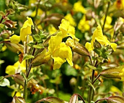 Yellow monkeyflower
This wildflower has bright yellow, trumpet-shaped blooms that bring color to meadows and stream banks in the late spring and early summer.
Yellow monkeyflower
This wildflower has bright yellow, trumpet-shaped blooms that bring color to meadows and stream banks in the late spring and early summer.
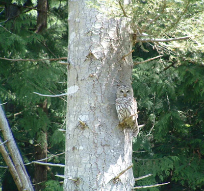 Grand fir
This impressive conifer is known for its flattened needles and can grow up to 200 feet in the right conditions.
Grand fir
This impressive conifer is known for its flattened needles and can grow up to 200 feet in the right conditions.
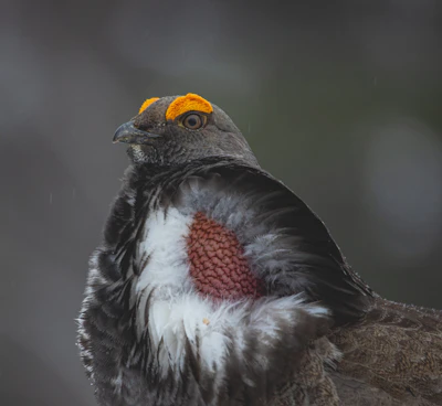 Blue grouse
This ground-dwelling bird thrives in higher elevations. Males have blue plumage with white throat patches, while females have mottled brown plumage.
Blue grouse
This ground-dwelling bird thrives in higher elevations. Males have blue plumage with white throat patches, while females have mottled brown plumage.
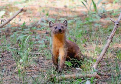 Pine marten
A weasel-like mammal that thrives in dense coniferous forests, this marten has a slender body and bushy tail that helps it climb to hunt.
Pine marten
A weasel-like mammal that thrives in dense coniferous forests, this marten has a slender body and bushy tail that helps it climb to hunt.
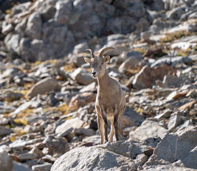 California bighorn sheep
This agile herbivore is well-adapted to rocky terrain, using sheer cliffs for escape from predators such as mountain lions and coyotes.
California bighorn sheep
This agile herbivore is well-adapted to rocky terrain, using sheer cliffs for escape from predators such as mountain lions and coyotes.
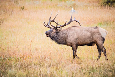 Rocky Mountain elk
This majestic animal, the second largest species in the deer family after moose, inhabits the forest’s higher terrain in the summer and moves to its lower-elevation forests in the winter. One of the largest herds found in a National Forest is in the Umatilla.
Rocky Mountain elk
This majestic animal, the second largest species in the deer family after moose, inhabits the forest’s higher terrain in the summer and moves to its lower-elevation forests in the winter. One of the largest herds found in a National Forest is in the Umatilla.
Related Impact
Restoring the Columbia River Gorge National Scenic Area
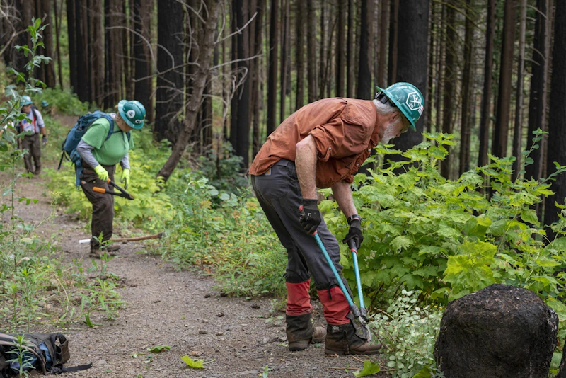
Working hand-in-hand with the community and our partners, less than a decade after the devastating Eagle Creek Fire, nearly every mile of trail that was damaged has reopened.
What’s the Best First-Timer’s Adventure in the Umatilla National Forest
Experience the Umatilla’s beauty from your car by driving the Blue Mountain Scenic Byway, which consists of 130 miles of paved road, allowing east-west travelers an alternative route between the Columbia River near Arlington and Baker City, Oregon.
Where to Find More Information on the Umatilla National Forest
For more information or questions, visit https://www.fs.usda.gov/r06/umatilla.
Discover how communities, volunteers, and partners are shaping the future of our National Forests and Grasslands.
The National Forest Foundation works with partners across Northern Colorado to restore forests, reduce wildfire risk, and care for the…
After years of damage, recovery, and reconstruction, the trail to Hanging Lake has been fully rebuilt, creating a more durable,…
Erosion and wildfire had left Arizona's historic Highline Trail rutted and unsafe. After five years of work with the Tonto…
Forest restoration near Flagstaff is reducing wildfire risk for local communities and safeguarding the water supply for millions across the…
Colorado's 14ers draw thousands of visitors each year, and the pressure on these fragile alpine landscapes is growing. Here's a…
Visitors of all ages can explore forest trails and sparkling waters, discover wildlife and underwater habitats, and connect with Tahoe’s…
A partnership-driven program connecting youth on Montana’s Flathead Reservation with hands-on conservation work, heritage education, and pathways in natural resource…
Seeing the impact first hand on the Grand Mesa, Uncompaghre and Gunnison National Forests
Seven Years of Reopening Trails After the Eagle Creek Fire
Field Ranger Program Connects Diverse Communities to Forests in Southern California
Our Forests Need Us Today.
Your donation powers critical, on-the-ground conservation—from wildfire recovery to watershed restoration—protecting forests for the future.

