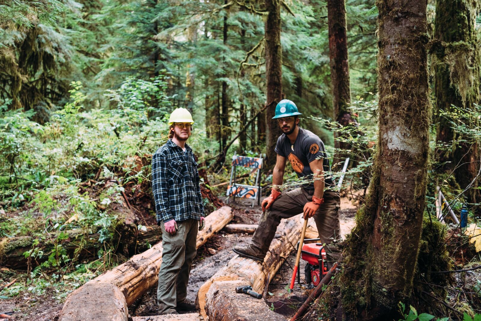
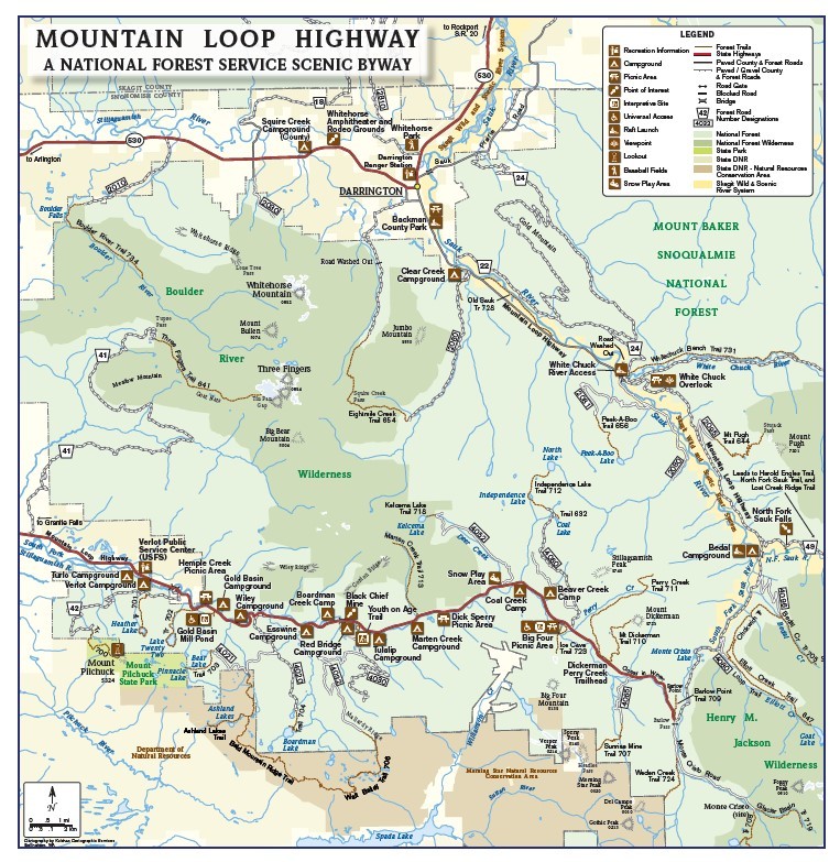
Treasured Landscapes, Unforgettable Experiences

Photo by the Dave Hoefler.

Rebuilding and Improving Recreation on the Mt. Baker Snoqualmie National Forest

Working with local Native American Tribes, communities, and organizations, we are improving the recreation areas and wildlife habitat along the Mountain Loop Highway on the beautiful Mt. Baker-Snoqualmie National Forest.

This National Forest spans 1.7 million acres on the western slopes of the Cascade Range in Washington and includes glacier-covered peaks, spectacular mountain meadows and old-growth temperate rainforests. The verdant valleys and forested mountains host an array of amazing wildlife including salmon, northern spotted owls, fishers, elk and more.

Photo by Tim Aukshunas

These same forests have been occupied and used by Coast Salish people for millennia. The Mountain Loop Highway area, and indeed all of the Mt. Baker-Snoqualmie National Forest, lies within the ancestral areas ceded by tribes under the 1855 Treaty of Point Elliott. While ceding their lands, tribes signing the treaty specifically reserved rights in the forest, including fishing, hunting and gathering. Today, federally recognized treaty tribes like the Sauk-Suiattle, Tulalip Tribes and Stillaguamish Tribe of Indians continue to exercise these rights in carrying on their culture and have hunting, fishing and gathering rights on the Mt. Baker-Snoqualmie National Forest.

The Mt. Baker-Snoqualmie National Forest, located near Seattle and Puget Sound, is one of the most visited National Forests in the country. Over 2.5 million people recreate on the National Forest each year. Unfortunately, the influx of recreation visitors has taken degraded the condition of the trails, campgrounds and other overused recreation areas on the National Forest. Along with providing poor visitor experiences, the degraded recreation areas have negative impacts on adjacent wildlife habitat.

Through our Treasured Landscape initiative, we are working with the Forest Service to invest $14 million to rebuild popular hiking trails and improve wildlife habitat while making recreation experiences inclusive and accessible for all people. We believe everyone should feel safe to enjoy public lands.

Improving Recreation on the Mountain Loop Highway

The Mountain Loop Highway is a National Scenic Byway that connects the towns of Granite Falls and Darrington and follows the Stillaguamish and Sauk Rivers. The Mountain Loop provides 147 access points for hiking, biking, fishing, camping, kayaking, rock climbing, and sightseeing activities. The Mountain Loop has popular recreation sites like the Big Four Mountain ice caves, six campgrounds, three wilderness areas and hundreds of miles of hiking trails.

Unfortunately, with the number of visitors that recreate on the Mountain Loop Highway the Forest Service is unable to keep up with the maintenance of recreation sites especially on popular trails like Mt. Pilchuck, Heather Lake and Lake Twenty-two. The number of visitors is anticipated to increase in the coming decade, which will exasperate the problem. As part of the Treasured Landscapes initiative, the NFF is working with the Forest Service, local communities and businesses to rebuild and improve many popular hiking trails accessed by the Mountain Loop Highway. Our goal is to improve these recreation areas and make them safe and accessible for everyone to enjoy in years to come.

Click here to download the above map (PDF).

Highlighted Projects

Below are some of the recreation areas along the Mountain Loop Highway that will have improvements during the Treasured Landscape initiative. Projects will be completed by the Forest Service and the NFF using Great American Outdoors Act and other funding sources. Timeframes are estimates and are dependent upon funding resources.

Big Four Ice Caves

This popular recreation area will see needed improvements including a restored trail bridge over the South Fork Stillaguamish River, an upgraded accessible elevated boardwalk and improved trail conditions. The Big Four Picnic Area will receive new accessible grills and picnic tables, bear proof garbage cans, toilets, and interpretive signs about the area. Improvements are scheduled to take place between 2022 – 2024.
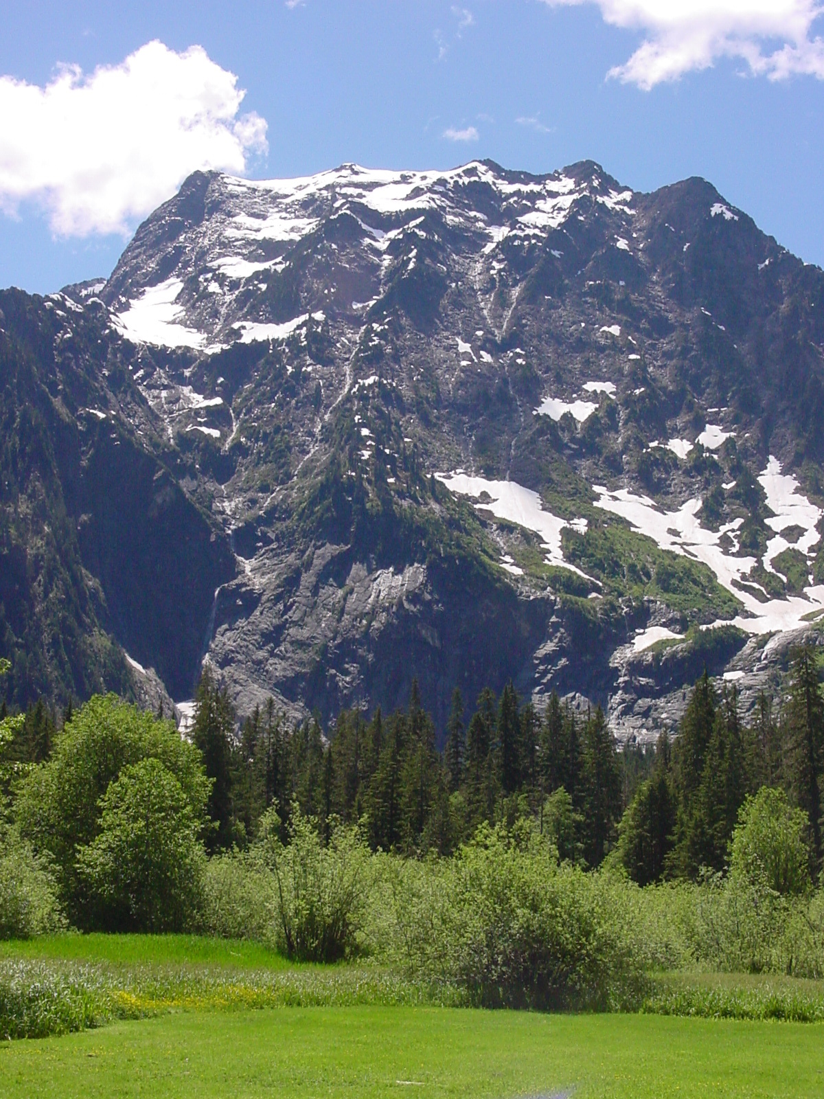
Mt. Pilchuck Trail

The 2.7 mile trail leads to a 5,324-foot summit and has tremendous views of the Cascades, Olympics, and Puget Sound. The trail is usually snow-covered until midsummer and is very popular on a clear day. The trail will be improved with some maintenance occurring on puncheon and stairways. The Pilchuck Road leading to the trailhead will also be improved in locations making access to the trail easier for all vehicles. Improvements are scheduled to take place between 2022 – 2025.

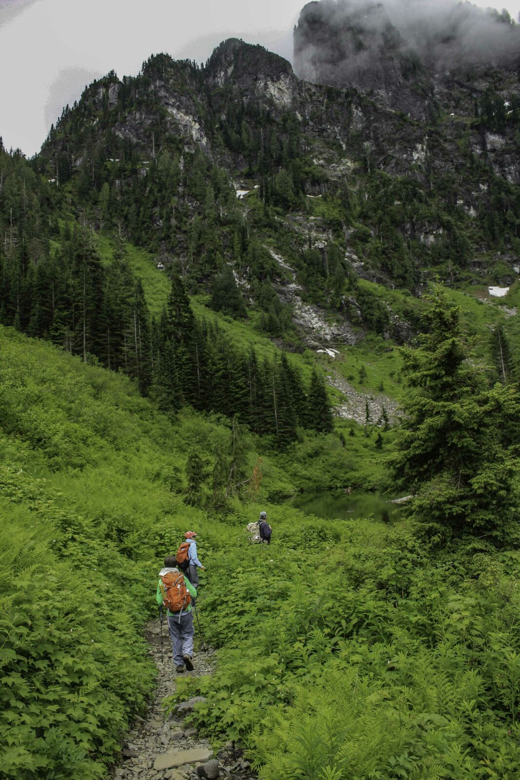
Lake Twenty-Two Trail

This 2.7 mile long trail follows Twenty-Two Creek through old-growth forests and a large talus slope. The trail is used year-round and is always very crowded on summer weekends. The trail will be improved and the trail bridge over Twenty-two Creek will be repaired. Improvements are scheduled to take place in 2022 and 2023.

Heather Lake Trail

This 2.3 mile long trail leads to Heather Lake in a subalpine forest meadow setting and is quite popular all months of the year. This trail will be improved, and a trail bridge will be replaced. The trailhead will be expanded to accommodate approximately 75 additional cars. Improvements are scheduled to take place in 2022 and 2023.

Mountain Loop Highway Campgrounds

Seven campgrounds in the area will be improved including Verlot, Esswine, Red Bridge, Boardman, Turlo, Beaver Creek, and Tulalip Mill Site. Improvements will include new picnic tables, fire rings, tent pads and improved kiosks and interpretive information. Bear-proof food storage lockers will be installed at each campsite. Maintenance of campground water system and roadway surfaces will be improved in some locations as well. Improvements are scheduled to take place in 2023 and 2024.

Improving Wildlife Habitat and Cultural Resources

The federally recognized Sauk-Suiattle, Tulalip Tribes and Stillaguamish Tribe of Indians and other Point Elliott signatory tribes have historic and cultural ties and legal rights to the Mountain Loop Highway area and maintain treaty rights for hunting, fishing, and harvesting plants. The NFF is working with these Tribes to improve forest and watershed health to increase populations of wildlife and important cultural foods.

We are supporting inter-tribal youth to improve traditional huckleberry foraging areas as they are important resources to Tribes, while improving forest health. Throughout this Treasured Landscape initiative, we will continue to support the Tribes’ connections to their ancestral lands in the National Forest, and their ongoing stewardship efforts.

Join us as we work to improve the recreation and health of the beautiful Mt. Baker Snoqualmie National Forest!

Contact

Patrick Shannon, Pacific Northwest and Alaska Program Director, at [email protected]