Daniel Boone National Forest
The Daniel Boone National Forest is located along the Cumberland Plateau in the Appalachian foothills of eastern Kentucky.
The land is characterized by steep forested ridges dissected by narrow ravines and over 3,400 miles of sandstone cliffs. These rockshelters contain valuable archaeological evidence and historic structural remains that provide insight into the lives of historic and prehistoric people who lived in this area.
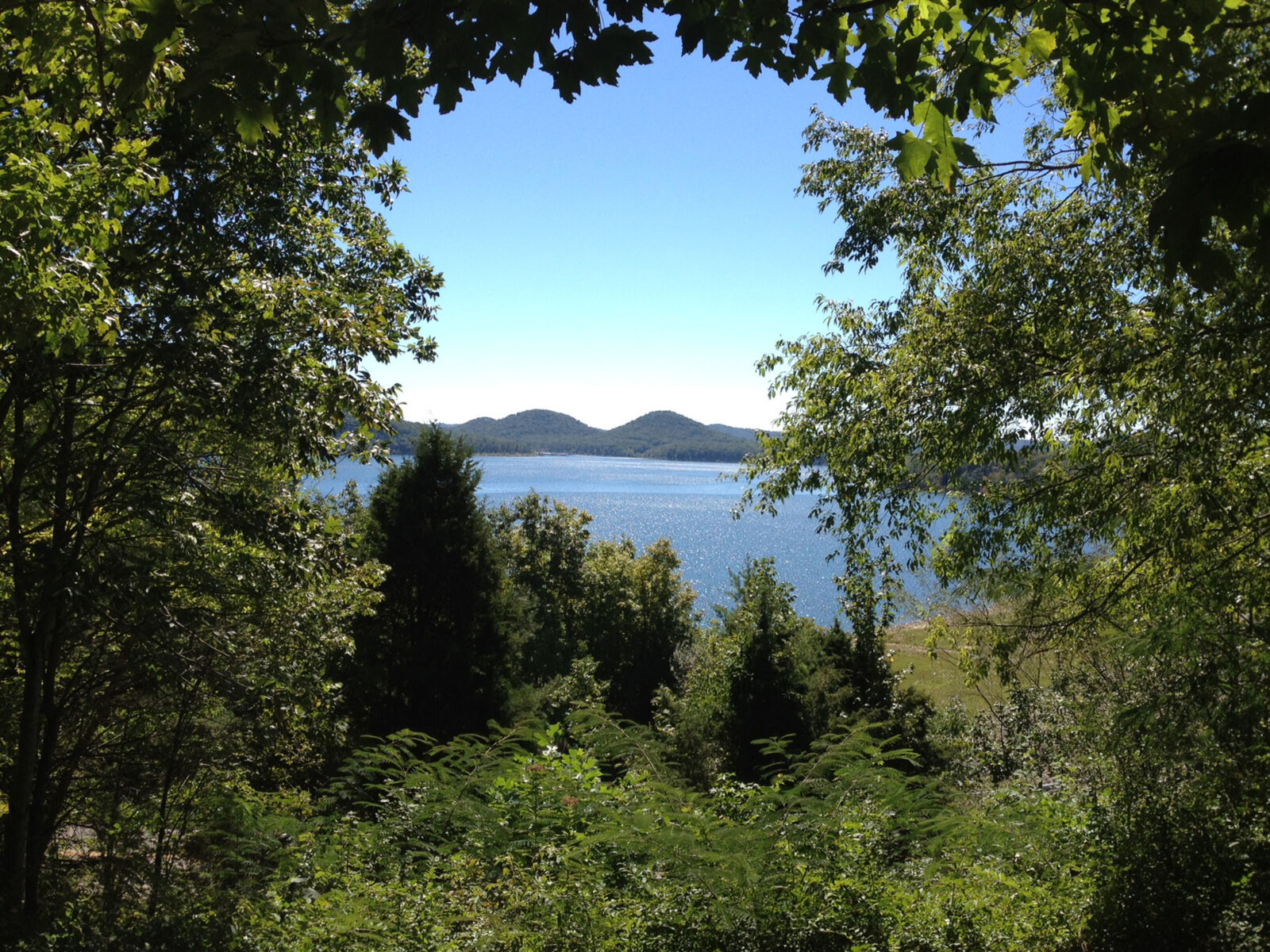
Millions of visitors come to enjoy the scenic beauty and abundant wildlife on the Forest. Cave Run Lake and Laurel River Lakeare popular attractions. There are many special areas on this Forest, including the Clifty Wilderness, Beaver Creek Wilderness, and five wildlife management areas.
The Red River Gorge Geological Area is known for its abundant natural stone arches, unusual rock formations, and spectacular sandstone cliffs, the Red River Gorge has been designated a geological area by the USDA Forest Service.
The Natural Arch Scenic Area is home to a 50- by 90-foot arch that was formed by the erosion of wind, water, and ice that cut away the soft sandstone and left a hard rock cap that arches dramatically across the sky. The area underneath the Natural Arch is considered sacred by the Cherokee. The site is fenced and is made of red cedar, a tree revered by the Cherokee.
Over 600 miles of trails provide recreation or a quiet escape to more remote places. Hundreds of miles of winding rivers and streams provide the finishing touch in outdoor beauty, as well as kayaking, canoeing, and rafting excursions.
Hikers, horseback riders and other trail users enjoy nature along the 269-mile Sheltowee Trace National Recreation Trail, which extends the entire length of the Daniel Boone. Sheltowee (meaning Big Turtle) was the name given Boone when he was adopted into the Shawnee tribe as the son of the great war chief Blackfish.
The Pioneer Weapons Wildlife Management Area was created through a cooperative effort between the Kentucky Department of Fish and Wildlife Resources and the USDA Forest Service.
History lessons are abundant on this Forest, plan ahead by visiting these links: Tater Knob Fire Tower, Camp Wildcat (a Civil War Engagement site), Gladie Center, Cliff Palace Pond, and Clear Creek Iron Furnace.