Ozark - St. Francis National Forest
The Ozark National Forest covers 1.2 million acres, mostly in the Ozark mountains of northern Arkansas while the St. Francis National Forest includes just 22,600 acres in eastern Arkansas and is one of the smallest and most diverse forests in the country.
These forests are full of recreational opportunities for camping, hiking, swimming, fishing, hunting, boating, scenic drives, picnics sites, and opportunities for wildlife viewing also abound.
Check out this great interactive map on places to see and things to do in the forests.
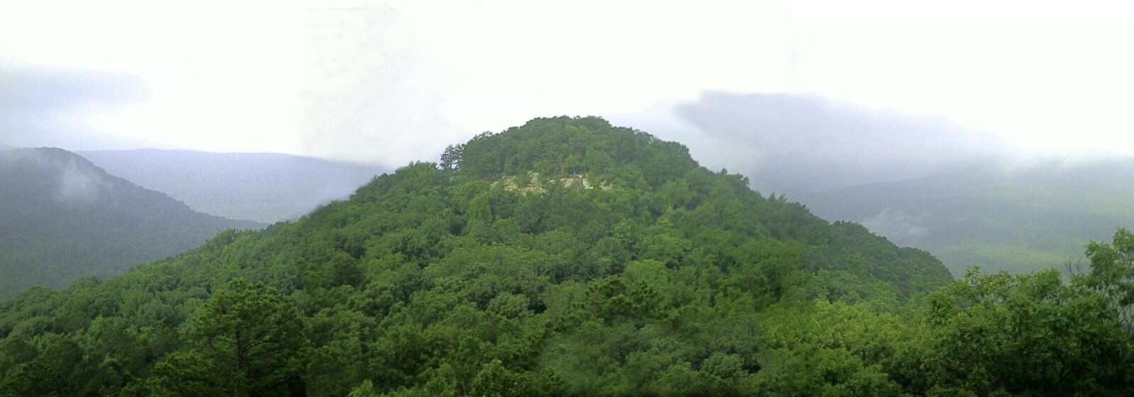
The southern portion of the Ozark National Forest runs along the Arkansas River Valley south to the Ouachita Mountains. The Ozark Mountains are actually plateaus, uplifted as a unit, with few folds or faults. The ruggedness of these mountains is due to erosion of the plateaus by swift rivers rising in them. The forest includes four wilderness areas and also borders the Buffalo National River.
"Ozark," the Anglicized version of "Aux Arcs," meaning "with bows," was the name reportedly used by the early French explorer, deTiene, to designate the Bow Indians, a tribe native to the region.
The "Ozarks" are really part of the Boston Mountains, which are characterized by narrow V-shaped valleys that are bordered by a combination of steep-sided slopes and vertical bluffs of sandstone and limestone soaring beside clear streams. The vegetative is upland hardwood of oak-hickory with scattered pine and a brushy undergrowth, dominated by such species as dogwood, maple, redbud, serviceberry and witch-hazel.
This makes the Ozark National Forest one of the favorite places for visitors in the spring when the dogwood and redbuds are in bloom, and in the fall when the Forest turns into a brilliant display of oranges, reds, yellows and greens.
The St. Francis National Forest, located on the east central edge of the state, derives its name from the St. Francis River. The St. Francis National Forest is the only place in the National Forest System where the public can experience the awesome grandeur of the "Father of Waters," the mighty Mississippi River, from the shoreline.
Storm Creek and Bear Creek Lakes, along with the St. Francis and Mississippi Rivers, attract large numbers of anglers to the area. Popular game fish include: striped bass, largemouth bass, crappie, catfish and bream.