Crooked River National Grasslands
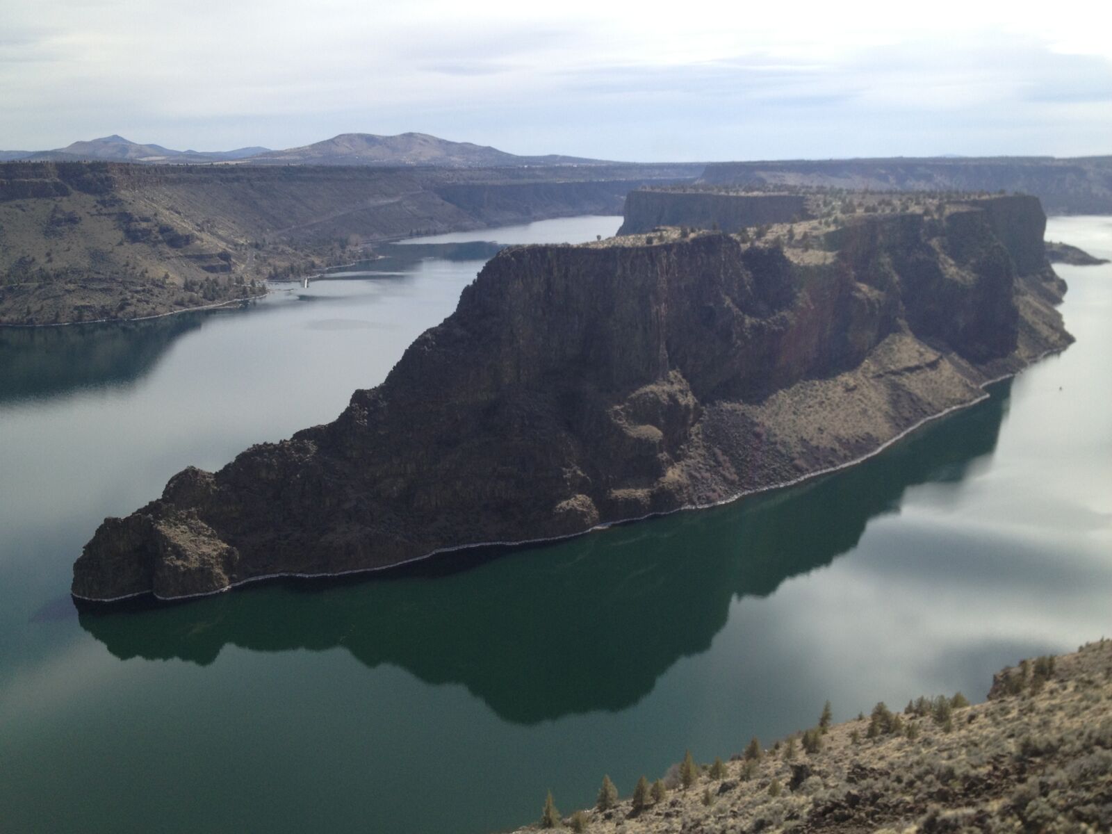
The Crooked River National Grassland offers hiking, fishing, camping, wildlife viewing and horseback riding. As well, two National Wild and Scenic Rivers, the Deschutes River and Crooked River, float through part of the Grassland.
The Crooked River National Grassland is part of a 2.5-million-acre complex of National Forest lands in central Oregon The Deschutes and Ochoco National Forests along with the Crooked River National Grassland extend about 100 miles along the east side of the Cascade Mountains They are rich in human and natural history and offer a multitude of diverse scenic and recreation opportunities.
Thia grassland is most associated with the nearby Ochoco National Forest, which is part of the old Blue Mountain Forest Reserve, established in 1906 by President Roosevelt. The Reserve was divided into four smaller units in 1908 - the Deschutes, Malheur, Whitman and Umatilla National Forests. In 1911 the Ochoco National Forest was established from parts of the Malheur and Deschutes National Forests. In 1960 Congress created the Crooked River National Grassland, which today is administered by the Ochoco National Forest.
Visit these links for more on this and other Grasslands:
- About.com has a great page on National Grasslands
- Find great maps at Recreation.gov
- Learn more about the Crooked River
- Visit the Deschutes & Ochoco National Forests and Crooked River National Grassland Kids page to learn all about the wildlife in this great area!