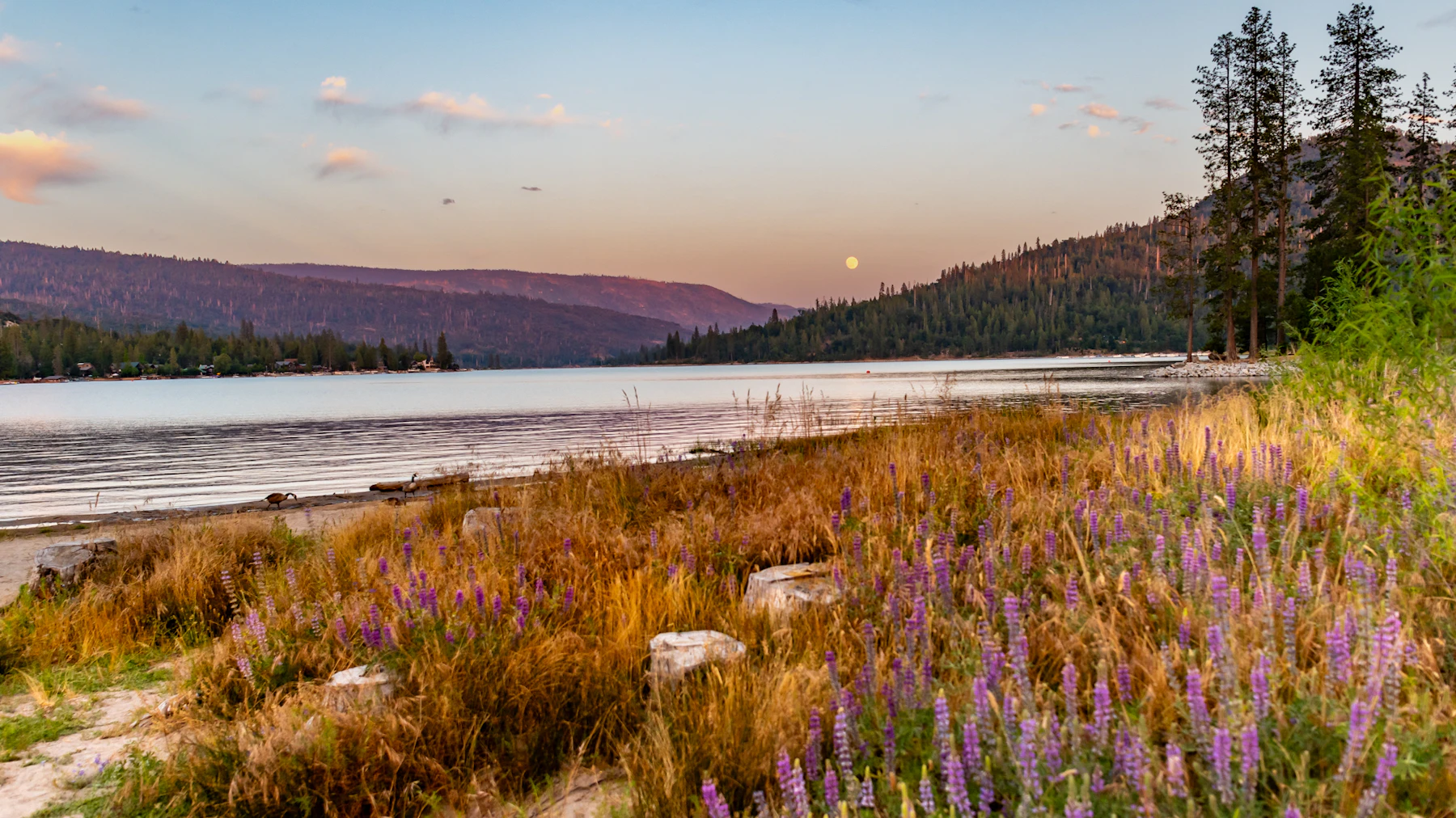
Experience the Sierra National Forest, 1.3 million acres of the western slope of the central Sierra Nevada in California. The forest spans from the 900-foot oak-covered foothills near Fresno to the stark alpine landscape of the High Sierra and the granite peaks of 13,986-foot Mount Humphreys.
The Sierra National Forest is responsible for managing five Wilderness Areas: Ansel Adams, Dinkey Lakes, John Muir, Kaiser, and Monarch. The Sierra borders Yosemite National Park to the north, offering up the same epic landscapes and recreation without the crowds or booking windows.
Hikers, bikers, and equestrians are welcome on trails that range from short nature walks to challenging backcountry routes, including access points to the famous John Muir Trail. Waterways like the Wild and Scenic Merced River carve deep canyons and host excellent fishing and rafting.
With two scenic byways, there is plenty to see from behind the wheel. The Sierra Vista Scenic Byway starts near North Fork and climbs more than 7,000 feet through the Sierra Nevada Mountains. It provides views of Ansel Adams, John Muir and Kaiser Wilderness Areas. The Sierra Heritage Scenic Byway ends near Kaiser Peak at 10,320 feet.
Camping, boating, and waterskiing are popular at reservoirs like Huntington Lake and Bass Lake, while winter activities include snowshoeing, cross-country skiing, and snowmobiling.
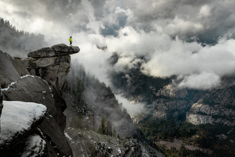 Photo by Gabriel Rovick
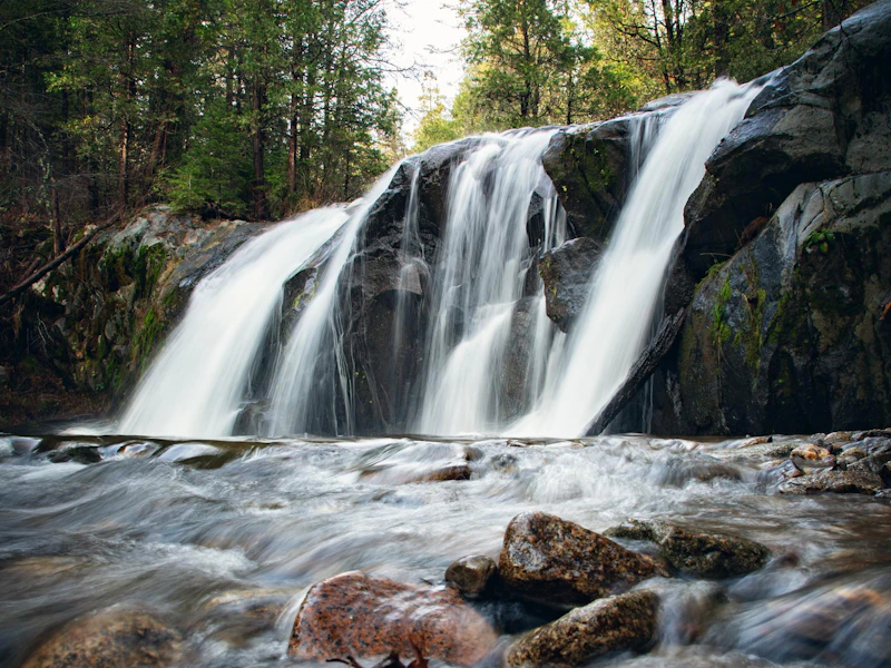 Photo by Nate Dunlap
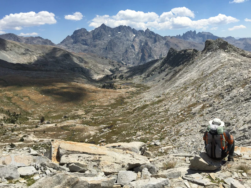 Photo by Victor Diaz
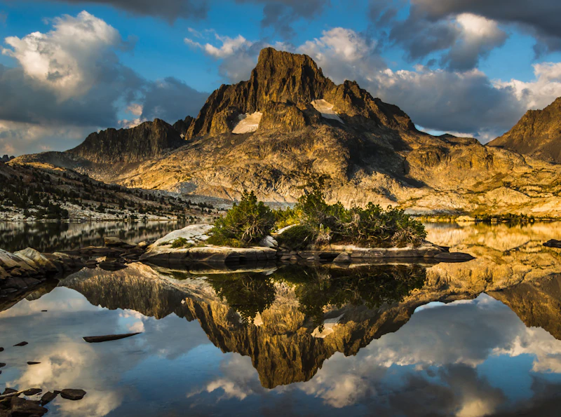 Photo by Dale Fehr
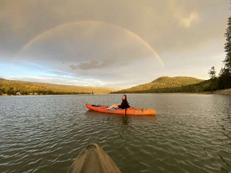 Photo by Delissa Fulce
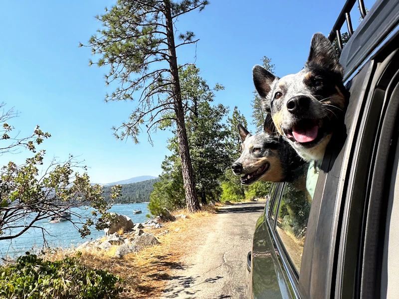 Photo by Kate Wilson
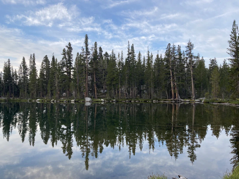 Photo by Kayla Brown
What is the History of the Sierra National Forest?
Established in 1893, it is one of California’s oldest National Forests and serves as an essential conservation area. Over the 20th century, the forest expanded to include additional wilderness areas, including portions of the Ansel Adams and Dinkey Creek regions.
Long before its designation and the arrival of settlers, the Sierra Nevada region was home to Indigenous peoples, including the Mono, Yokuts, and Miwok peoples.
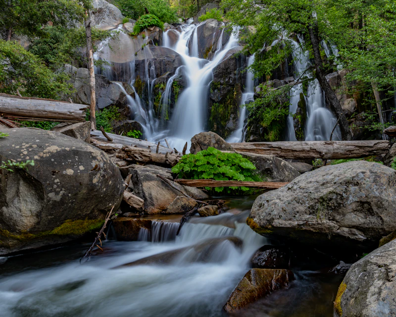
How to Get to the Sierra National Forest
From the west, California State Route 41 connects Fresno, the largest nearby city, to the forest, providing access to key areas such as the San Joaquin River Gorge and Shaver Lake.
From the south, Highway 168 leads from the city of Clovis toward Huntington Lake and the High Sierra.
From the north, Highway 49 and Highway 180 provide routes from towns like Oakhurst and Coarsegold, giving access to forest areas near Yosemite National Park and along the Merced River corridor.
- Fresno, California: 1 hour by car
- Visalia, California: 1.5 hours by car
- Bakersfield, California: 2.5 to 3 hours by car
- San Jose, California: 3 to 3.5 hours by car
- San Francisco, California: 3.5 to 4 hours by car

A ten-mile run with Class III and IV rapids brings rafters through steep canyon walls and pristine alpine scenery, making for an incredible up-close view of the High Sierra. Rafting season is usually from late April to mid July, depending on river runoff. Be sure to go with a Forest Service-certified outfitter.
For the rare chance to see some of California’s most iconic and ancient trees, head to this grove in the Sierra National Forest. Be sure to stop at Bull Buck, which measures 246 feet high and has a base circumference of 99 feet.
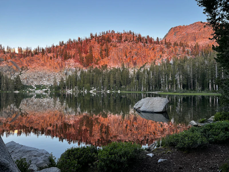
This seven-mile loop takes you through some of the most scenic backcountry of the Dinkey Lakes Wilderness, including four granite-flanked alpine lakes. With lakes and dispersed camping dotted every two to three miles, there’s plenty of opportunity to fish, swim, or camp along the hike.
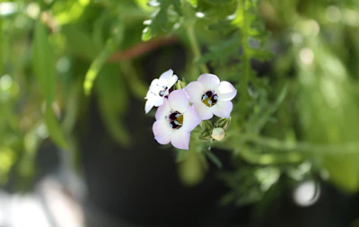 Bird’s eye gilia
With striking clusters of blue or purple trumpet-shaped flowers, this wildflower adds vibrant color to the alpine landscape during late spring and summer.
Bird’s eye gilia
With striking clusters of blue or purple trumpet-shaped flowers, this wildflower adds vibrant color to the alpine landscape during late spring and summer.
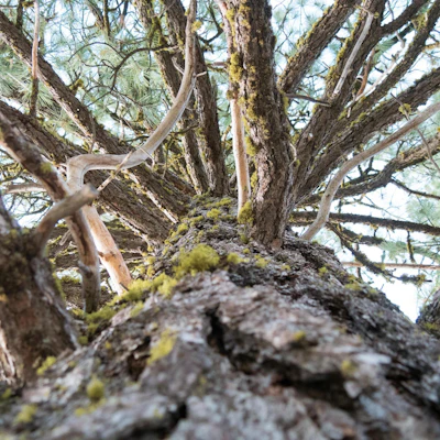 Lodgepole pine
This tall conifer, whose name comes from its traditional use by Indigenous peoples for constructing tipis and lodges, is one of the most common trees found in the forest.
Lodgepole pine
This tall conifer, whose name comes from its traditional use by Indigenous peoples for constructing tipis and lodges, is one of the most common trees found in the forest.
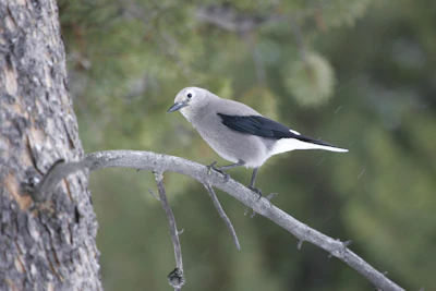 Clark’s nutcracker
This gray-and-white bird is responsible for collecting thousands of pine seeds every year, which helps regenerate forests.
Clark’s nutcracker
This gray-and-white bird is responsible for collecting thousands of pine seeds every year, which helps regenerate forests.
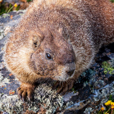 Marmot
This large ground squirrel is known for burrowing, distinctive whistling calls, and basking on rocks in alpine and subalpine meadows.
Marmot
This large ground squirrel is known for burrowing, distinctive whistling calls, and basking on rocks in alpine and subalpine meadows.
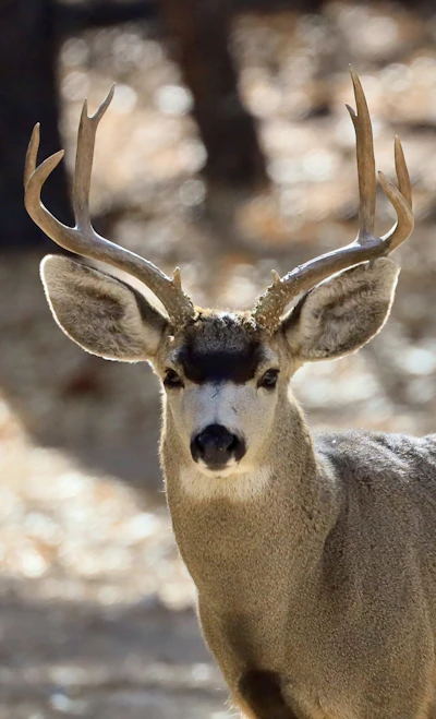 Mule deer
With a stocky build, black-tipped tail, and a brown coat that turns gray in the winter, these deer feed on shrubs, grasses, and acorns and prefer high elevation areas.
Mule deer
With a stocky build, black-tipped tail, and a brown coat that turns gray in the winter, these deer feed on shrubs, grasses, and acorns and prefer high elevation areas.
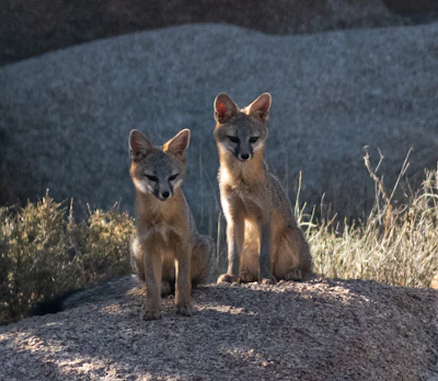 Gray fox
Smaller than its red cousin, this bushy-tailed fox is known for its agility and ability to climb trees, a rare trait among canids.
Gray fox
Smaller than its red cousin, this bushy-tailed fox is known for its agility and ability to climb trees, a rare trait among canids.
Related Impact
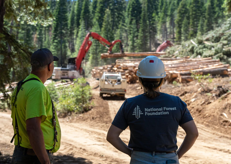
Creating a Fire Resilient Truckee
The largest, most destructive wildfires in California’s history have occurred in the last ten years. Everything is at stake for mountain communities like Truckee.
What’s the Best First-Timer’s Adventure in the Sierra National Forest
The 70-mile Sierra Heritage Scenic Byway is a memorable journey with access to several resort towns, two popular recreation lakes, and countless creeks. Starting in the quaint town of Clovis, the scenic byways traverses up the western slope of the Sierra Nevada, around the breathtaking lakes of Shaver and Huntington Lake, before topping out near Kaiser Peak at 10,320 feet.
Where to Find More Information on the Sierra National Forest
For more information or questions, visit https://www.fs.usda.gov/r05/sierra.
Discover how communities, volunteers, and partners are shaping the future of our National Forests and Grasslands.
The National Forest Foundation works with partners across Northern Colorado to restore forests, reduce wildfire risk, and care for the…
After years of damage, recovery, and reconstruction, the trail to Hanging Lake has been fully rebuilt, creating a more durable,…
Erosion and wildfire had left Arizona's historic Highline Trail rutted and unsafe. After five years of work with the Tonto…
Forest restoration near Flagstaff is reducing wildfire risk for local communities and safeguarding the water supply for millions across the…
Colorado's 14ers draw thousands of visitors each year, and the pressure on these fragile alpine landscapes is growing. Here's a…
Visitors of all ages can explore forest trails and sparkling waters, discover wildlife and underwater habitats, and connect with Tahoe’s…
A partnership-driven program connecting youth on Montana’s Flathead Reservation with hands-on conservation work, heritage education, and pathways in natural resource…
Seeing the impact first hand on the Grand Mesa, Uncompaghre and Gunnison National Forests
Seven Years of Reopening Trails After the Eagle Creek Fire
Field Ranger Program Connects Diverse Communities to Forests in Southern California
Our Forests Need Us Today.
Your donation powers critical, on-the-ground conservation—from wildfire recovery to watershed restoration—protecting forests for the future.

