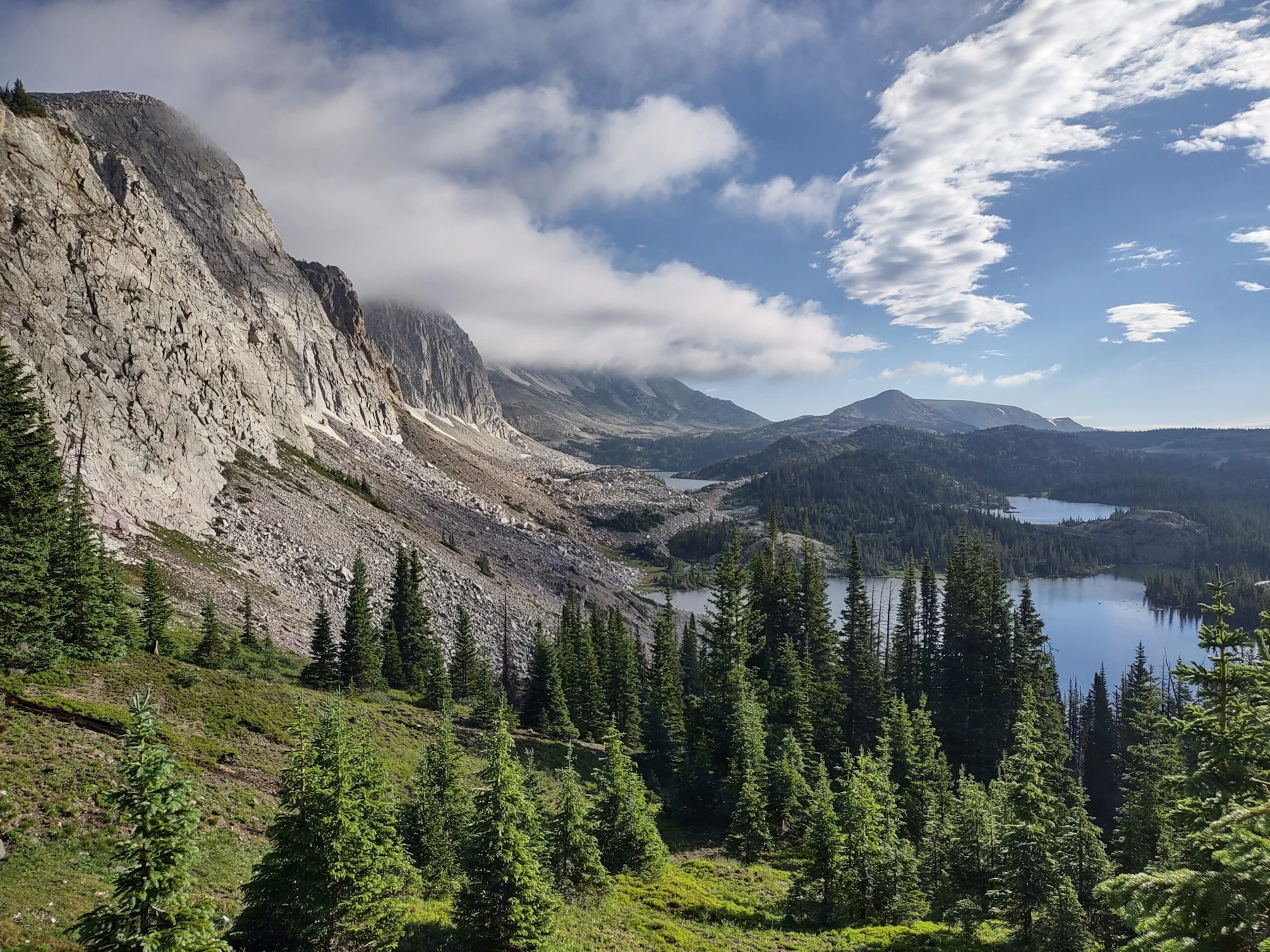
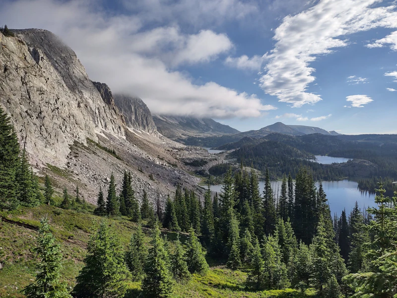
Explore the Medicine Bow-Routt National Forests, which include 2.9 million acres of rugged mountain ranges, alpine meadows, dense conifer woodlands, and sweeping grasslands that extend from north central Colorado to central Wyoming.
The Medicine Bow National Forest, located primarily in Wyoming, is named after the Medicine Bow Mountains, a range steeped in Native American history. The Routt National Forest covers much of northern Colorado, including parts of the Park Range and Elkhead Mountains. The well-known recreation hub of Steamboat Springs is adjacent to this forest.
In addition to the mountain ranges of Medicine Bow, Park and Elkhead, these forests encompass portions of ranges including the Gore Range, Flat Tops, Sierra Madre, and Laramie Range. Elevations range from 5,500 feet to 12,940 feet, and cause hard-to-predict weather: Frost, snow and high winds can occur even during the summer months.
The Thunder Basin National Grassland is located between the Big Horn Mountains and the Black Hills in northeastern Wyoming. The semi-arid grassland provides unique recreation, including hiking, hunting, and fishing.
There are ten designated Wilderness Areas located within the forest, eight mountain lakes that offer an array of water activities, and hundreds of miles of trails for hiking, mountain biking, and horseback riding. The forests also feature two ski areas, including the world-class Steamboat Ski Resort.
 South Rawah. Photo by Joseph Herrold
  Photo by Marisa Geraghty
 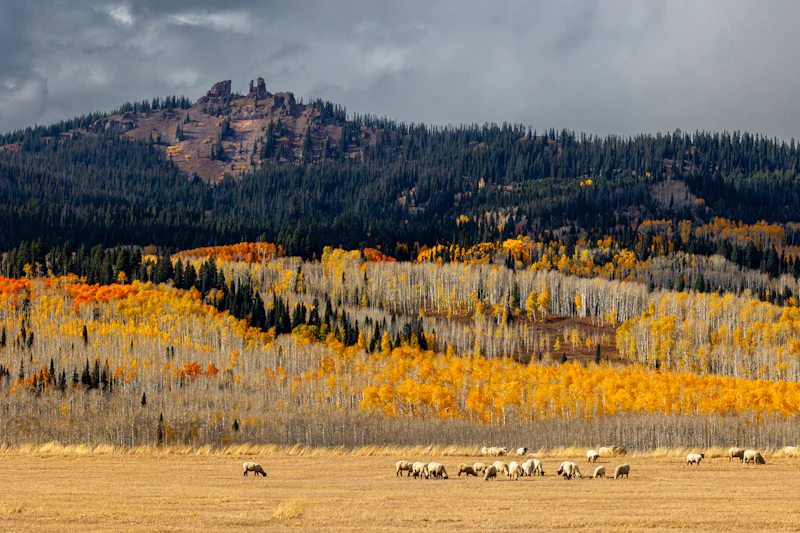 Photo by Lee Sussman
 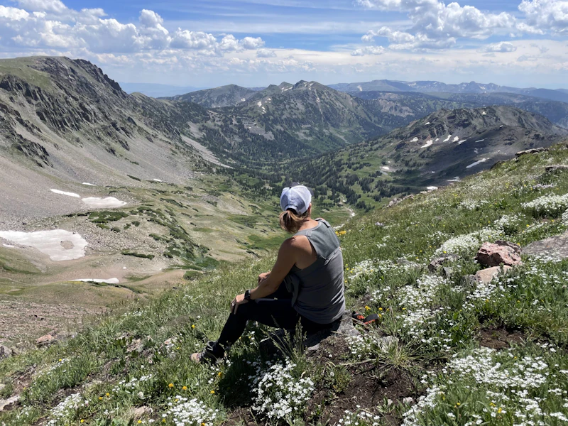 Photo by Mark Mallett
 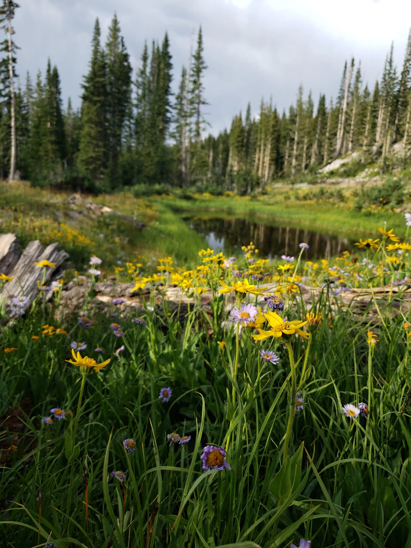 Photo by Mark Bergman
 What is the History of the Medicine Bow-Routt National Forests?
The area that now comprises the Medicine Bow National Forest was home to Native American tribes such as the Arapaho, Cheyenne, Ute, and Shoshone peoples. The name “Medicine Bow” itself comes from Indigenous traditions—Native peoples gathered mountain wood from the area to craft bows for hunting and warfare, and the term “medicine” referred to its sacred or powerful qualities.
The town of Medicine Bow became a key stop on the Union Pacific Railroad in the 1860s. In northern Colorado, the Routt area experienced a similar influx, with homesteaders, miners, and ranchers arriving at the time.The Routt National Forest was named after Colorado’s first governor, John Routt.
President Theodore Roosevelt established the Medicine Bow Forest Reserve in 1902 and the Routt Forest Reserve in 1905; they were administratively combined, along with the Thunder Basin National Grassland, in 1995.
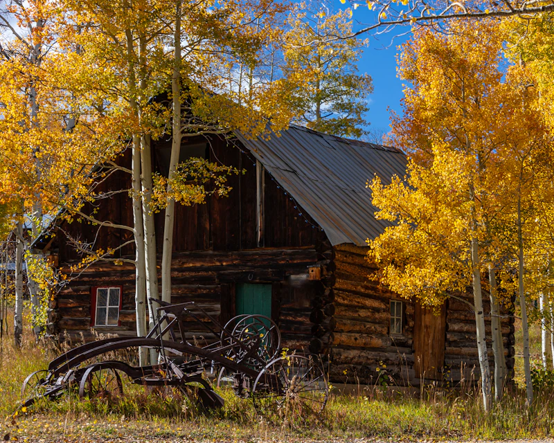
How to Get to the Medicine Bow-Routt National Forests
To reach the Medicine Bow National Forest in Wyoming, visitors can take Interstate 80, which runs east–west across the southern part of the state. From Laramie, Highway 130 meets the Snowy Range Scenic Byway, one of the most popular routes through the forest. From the community of Rawlins, Highway 71 provides access to the Sierra Madre Range.
To reach the Routt National Forest in northern Colorado, visitors can start from Steamboat Springs, a major gateway city. From there, U.S. Highway 40 and State Highway 14 lead into forest areas, including the Mount Zirkel and Sarvis Creek Wildernesses. From Denver, visitors can reach the forest via Interstate 70 and Highway 9.
- Cheyenne Wyoming: Half-hour to 1 hour by car
- Fort Collins, Colorado: 1.5 to 3 hours by car
- Boulder, Colorado: 2 to 4 hours by car
- Casper, Wyoming: 2.5 to 3 hours by car
- Denver, Colorado: 3 to 3.5 hours by car

Located near Steamboat Springs, this pristine wilderness in the Routt National Forest features rugged peaks, over 70 lakes, and a variety hiking trails. The 9.1-mile out-and-back Gilpin Lake Loop is especially popular for its alpine scenery and wildflower-filled basins.
Famed for its “champagne powder,” or light, dry snow, and for encompassing an entire mountain range, this ski resort offers nearly 3,000 acres of terrain, 181 named trails, and 314 inches of average annual snowfall.
At 12,013 feet, Medicine Bow Peak is the highest point in southern Wyoming. This 5.3-mile, one-way trail, in the Snowy Range Area, passes glacial cirques, rocky ridges, and clear alpine lakes.
 Sky pilot Adding bursts of color to high elevations above the treeline, this hardy perennial blooms with clusters of blue and violet blossoms bloom in the mid to late summer.
 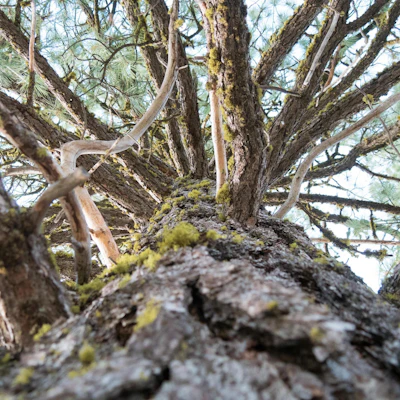 Lodgepole pine The tall and thin conifer plays an important part in regeneration after wildfire, as the resin in its cones melt—and seeds release—only when heated by fire.
 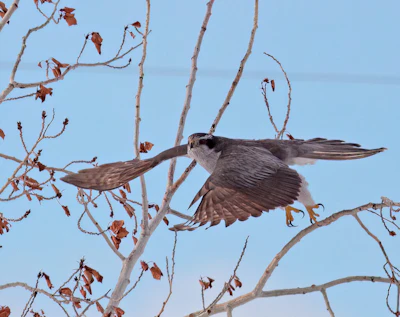 Northern goshawk This impressive raptor, with its barred grey belly and distinct white eyebrow, inhabits large territories of undisturbed forest. It’s an agile hunter, elusive, and hard to spot.
  Pika This rabbit-like creature, known for circular ears, can be spotted in environments above treeline and heard making their distinctive “meep” call.
 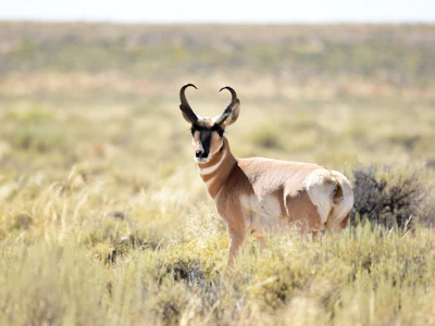 Pronghorn North America’s fastest land animal, capable of reaching speeds of up to 60 miles per hour, can be spotted in the grasslands.
 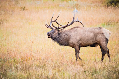 Elk This majestic animal is found grazing in high mountain valleys in the summer, migrating to lower elevations in the winter, and making bugling calls during fall’s rutting season.
 Related Impact
The Great American Outdoors Act in Colorado
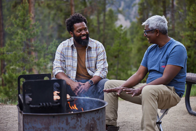
Discover the impact of The Great American Outdoor Act on communities in Colorado with Baratunde Thurston, host of the PBS show America Outdoors.
What’s the Best First-Timer’s Adventure in the Medicine Bow-Routt National Forests
The 29-mile Snowy Range Scenic Byway, west of Laramie, is one of the most spectacular drives in the Rockies. It’s open seasonally, usually from June to October, and climbs above 10,000 feet, offering panoramic views of Medicine Bow Peak, alpine lakes, and meadows bursting with wildflowers.
Where to Find More Information on the Medicine Bow-Routt National Forests
For more information or questions, visit https://www.fs.usda.gov/r02/mbrtb.
Discover how communities, volunteers, and partners are shaping the future of our National Forests and Grasslands.
Erosion and wildfire had left Arizona's historic Highline Trail rutted and unsafe. After five years of work with the Tonto…
Forest restoration near Flagstaff is reducing wildfire risk for local communities and safeguarding the water supply for millions across the…
Colorado's 14ers draw thousands of visitors each year, and the pressure on these fragile alpine landscapes is growing. Here's a…
Visitors of all ages can explore forest trails and sparkling waters, discover wildlife and underwater habitats, and connect with Tahoe’s…
A partnership-driven program connecting youth on Montana’s Flathead Reservation with hands-on conservation work, heritage education, and pathways in natural resource…
Seeing the impact first hand on the Grand Mesa, Uncompaghre and Gunnison National Forests
Seven Years of Reopening Trails After the Eagle Creek Fire
Field Ranger Program Connects Diverse Communities to Forests in Southern California
Anna's family has been planting trees for 50 years. Now she is helping build a sustainable model to meet the…
Nature-based solutions are bringing life back to streams and wetlands in the Colorado River Watershed, securing water for people, wildlife,…
Our Forests Need Us Today.
Your donation powers critical, on-the-ground conservation—from wildfire recovery to watershed restoration—protecting forests for the future.

